Mount Princeton 14er Hike - Trail Guide & Trip Report (Sawatch Range, CO)
Trail Notes
Mount Princeton
Sawatch Range, Colorado · 38.75°N 106.24°W
- Dist
- 5.18 mi
- Gain
- 2,682′
- Time
- 4:25
The Route
Route guide- Upper 4WD Road
- Ridge
- Summit
- Return

The Trail
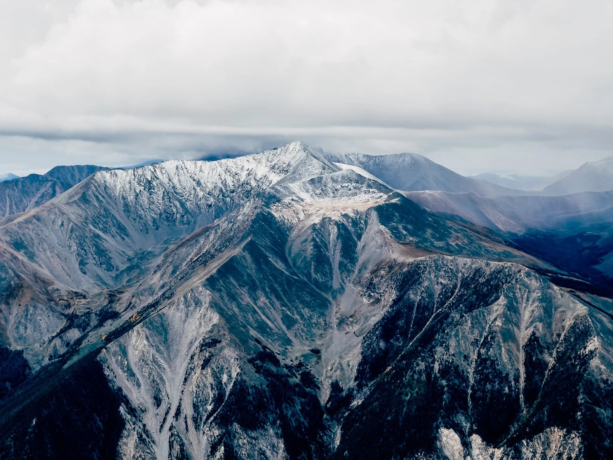
Short, steep, and rugged, Mount Princeton's standard route offers a classic Sawatch 14er experience. From colorful alpine tundra and sprawling boulder fields to a panoramic summit above Buena Vista, this hike delivers nonstop views and a true taste of Colorado's high country.
Mount Princeton rises to 14,197 feet on the eastern edge of the Sawatch Range, one of Colorado's most recognizable 14ers above the town of Buena Vista. The standard route is short on distance but unrelenting in grade, climbing a Class 2 line from the upper 4WD road through tundra and boulder fields to a rocky summit crown.
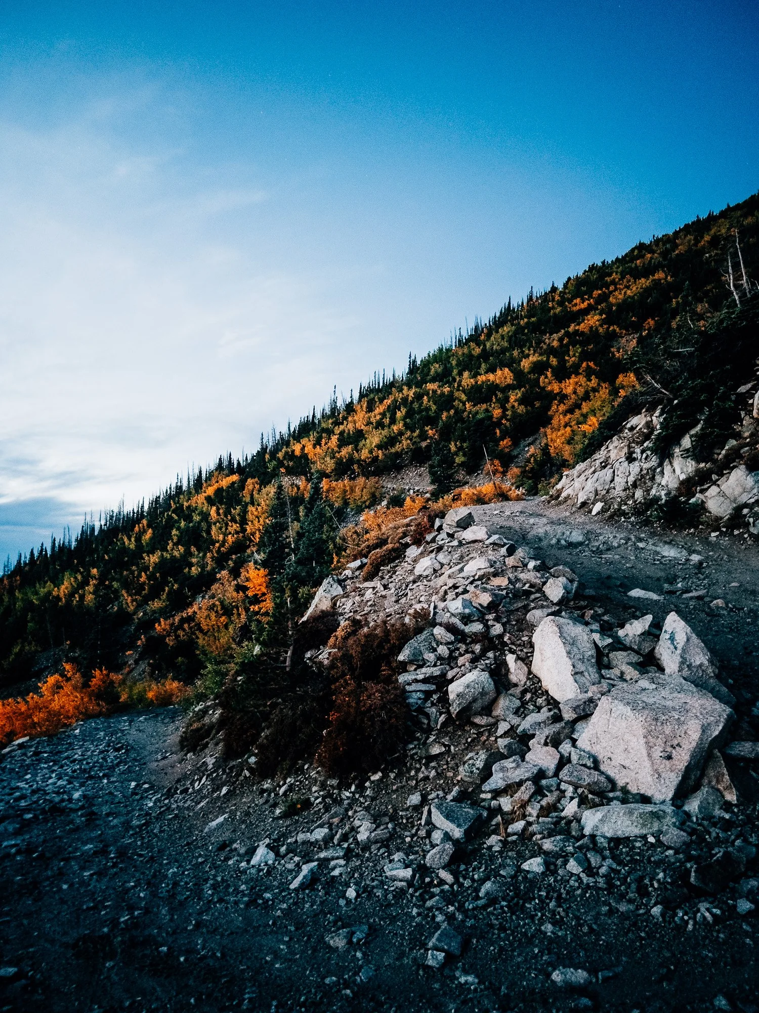
One of the peak's quirks is visibility: from around 12,000 feet you can see nearly the entire route to the top, the long ridge stretched out ahead and framed by fall-colored alpine tundra. Higher up, route-finding gets trickier as social trails diverge — the official line hugs the ridge — and weather can turn fast.

FROM THE TRAIL JOURNAL
Field Notes
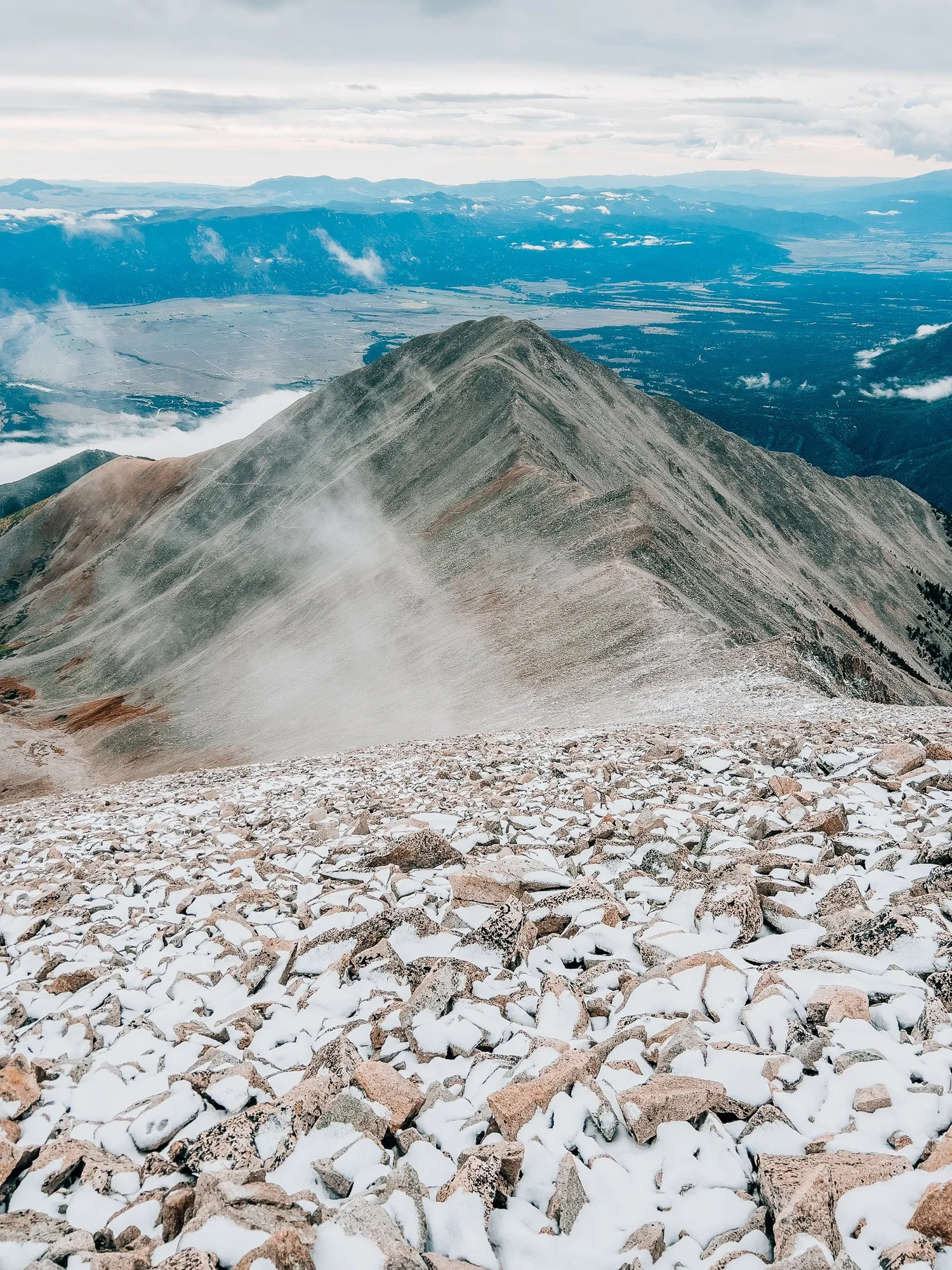
With a Jeep rental I could drive well above the radio towers, which turned an already short route into a quick alpine sprint. I started up the road just as the sun was rising over the Sawatch, the whole valley still in shadow.
Princeton gives you the entire route at a glance — there's no mystery to it, just a long ridge climbing into the sky. That honesty is part of the appeal. The catch is the weather: by the time I tagged the summit, clouds had thickened into snow squalls, and the descent turned cold and beautiful in the same breath.
Short, rugged, and over before the storm fully arrived — exactly the kind of Sawatch morning I'd hoped for.
— Anton
Trail Diary
Upper 4WD Road
With a Jeep rental, I was able to drive well above the radio towers and parked on a switchback, only about a quarter mile below the official trailhead. The sun was rising quietly in the east as I started up the road.
Trail Junction
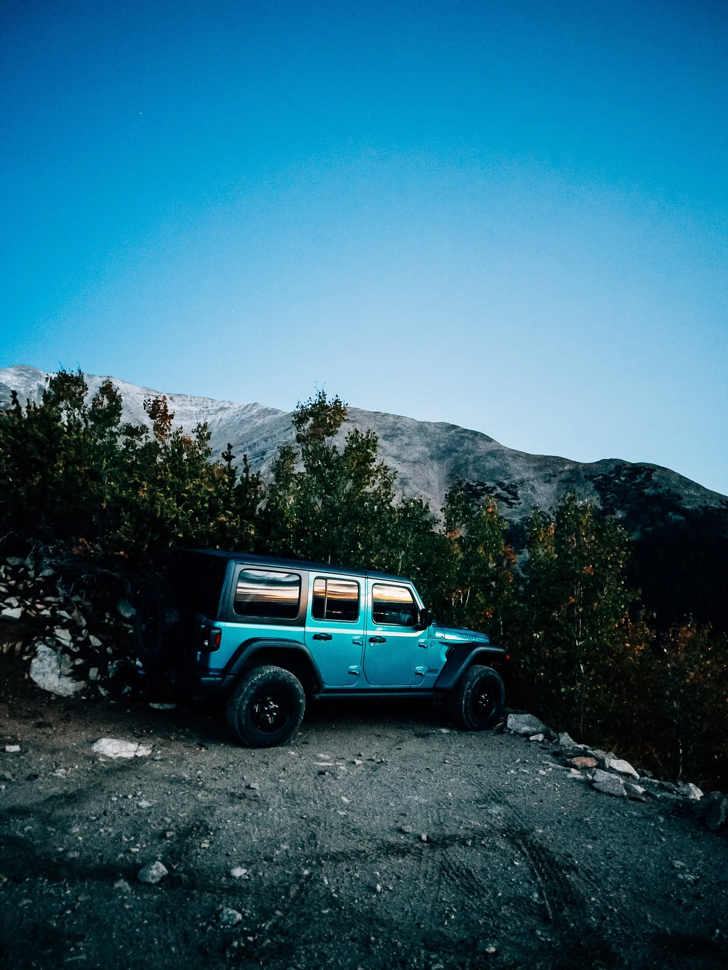
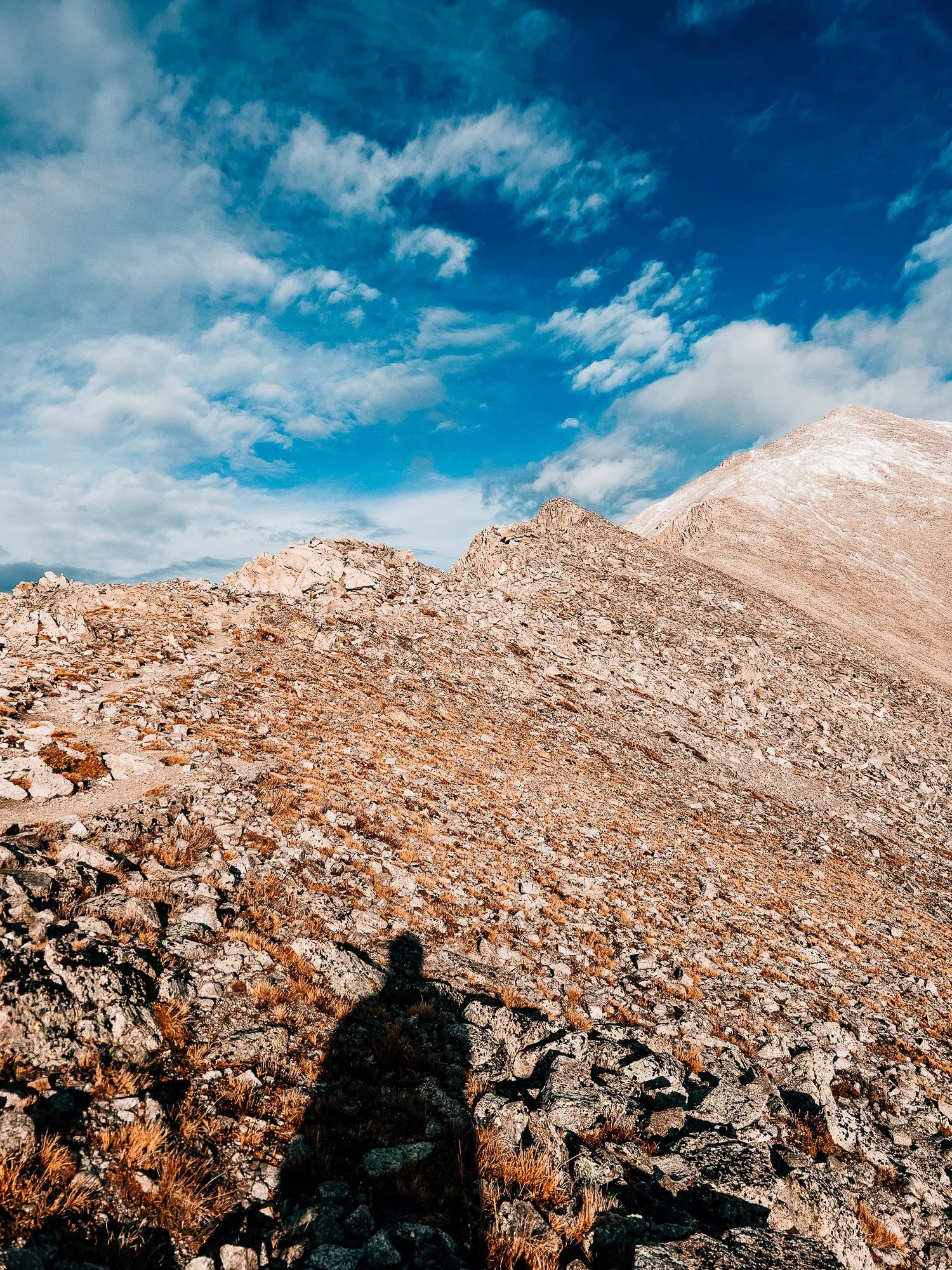
Left the road and began the hike proper. The first section was a well-built Class 1 path. Moments later the rocky pyramid of Mount Princeton appeared in the distance, still far above, while pink and orange light spilled across the Sawatch Range behind me.
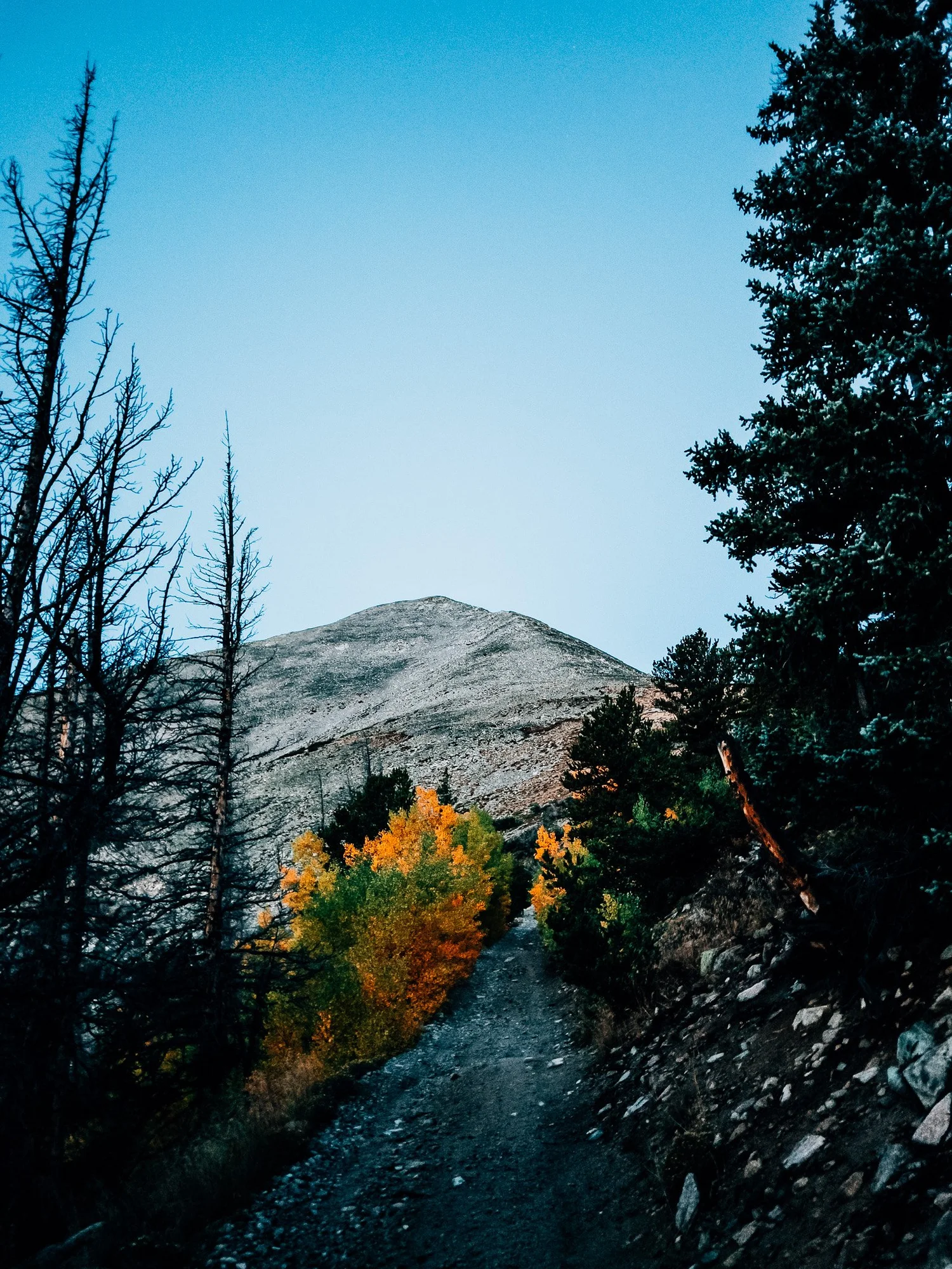
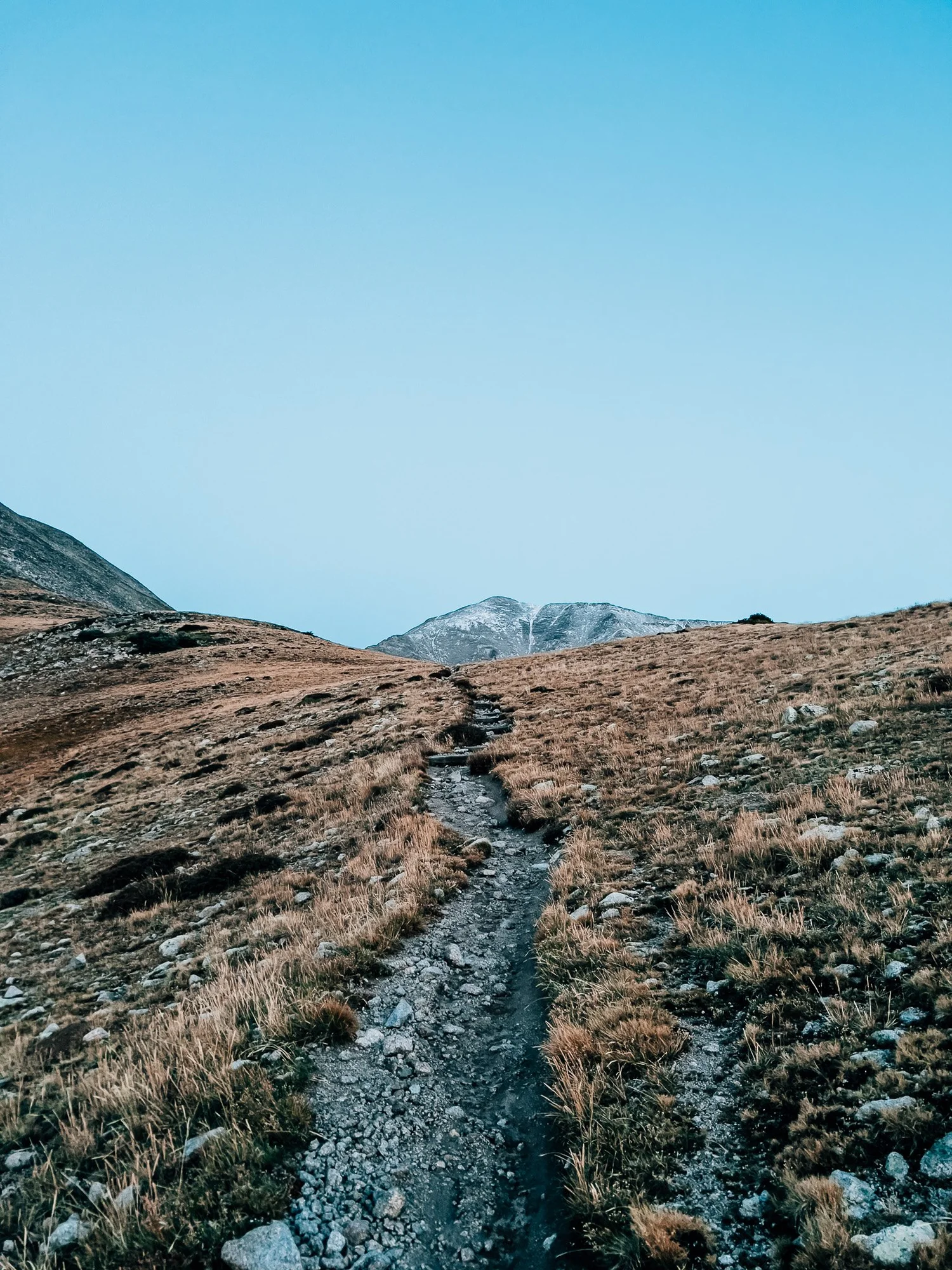
Broad View of the Route
One of the unique features of Princeton: from here you can see nearly the entire route to the summit. The long ridge stretched out, framed by fall-colored alpine tundra.
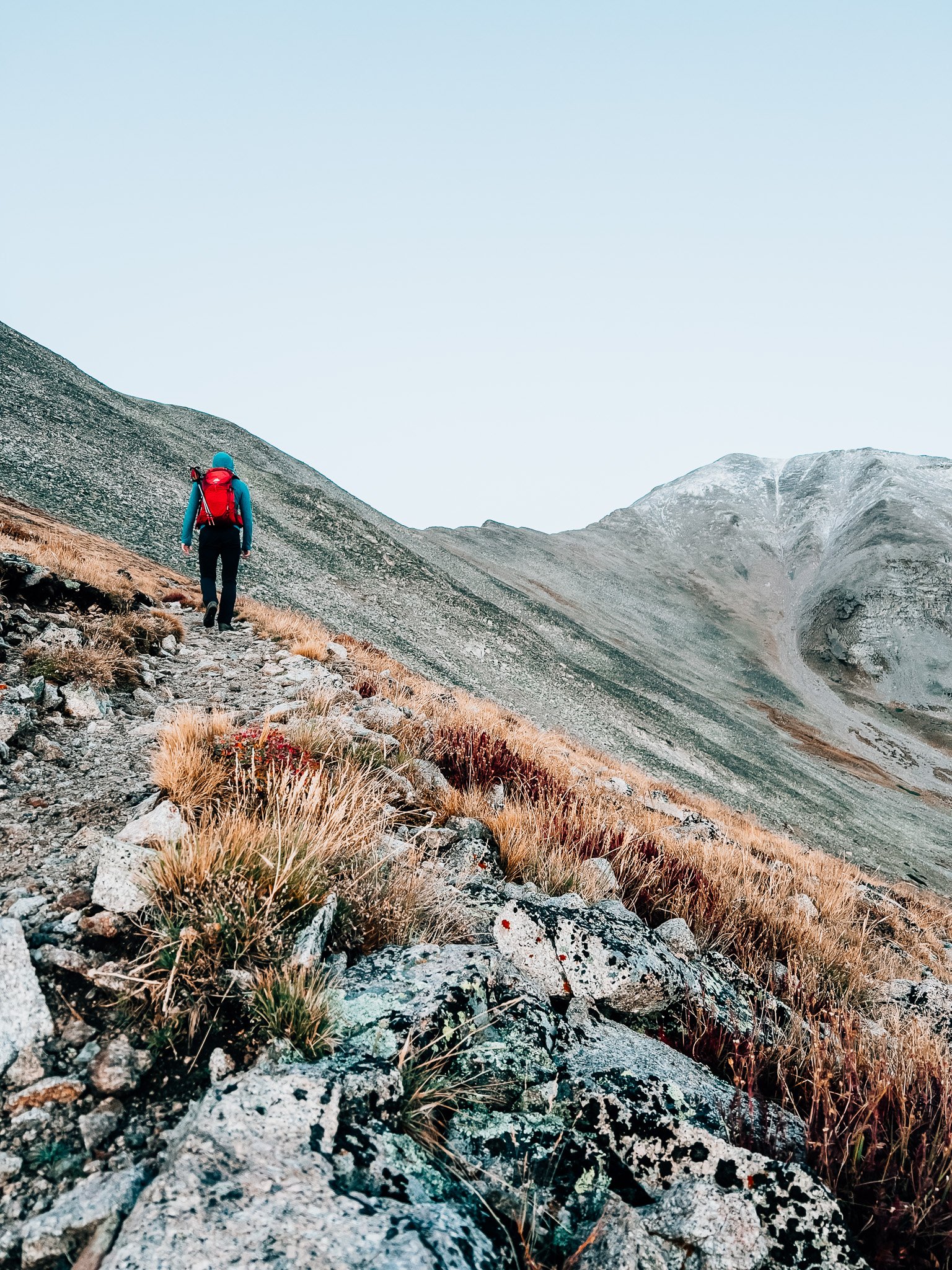
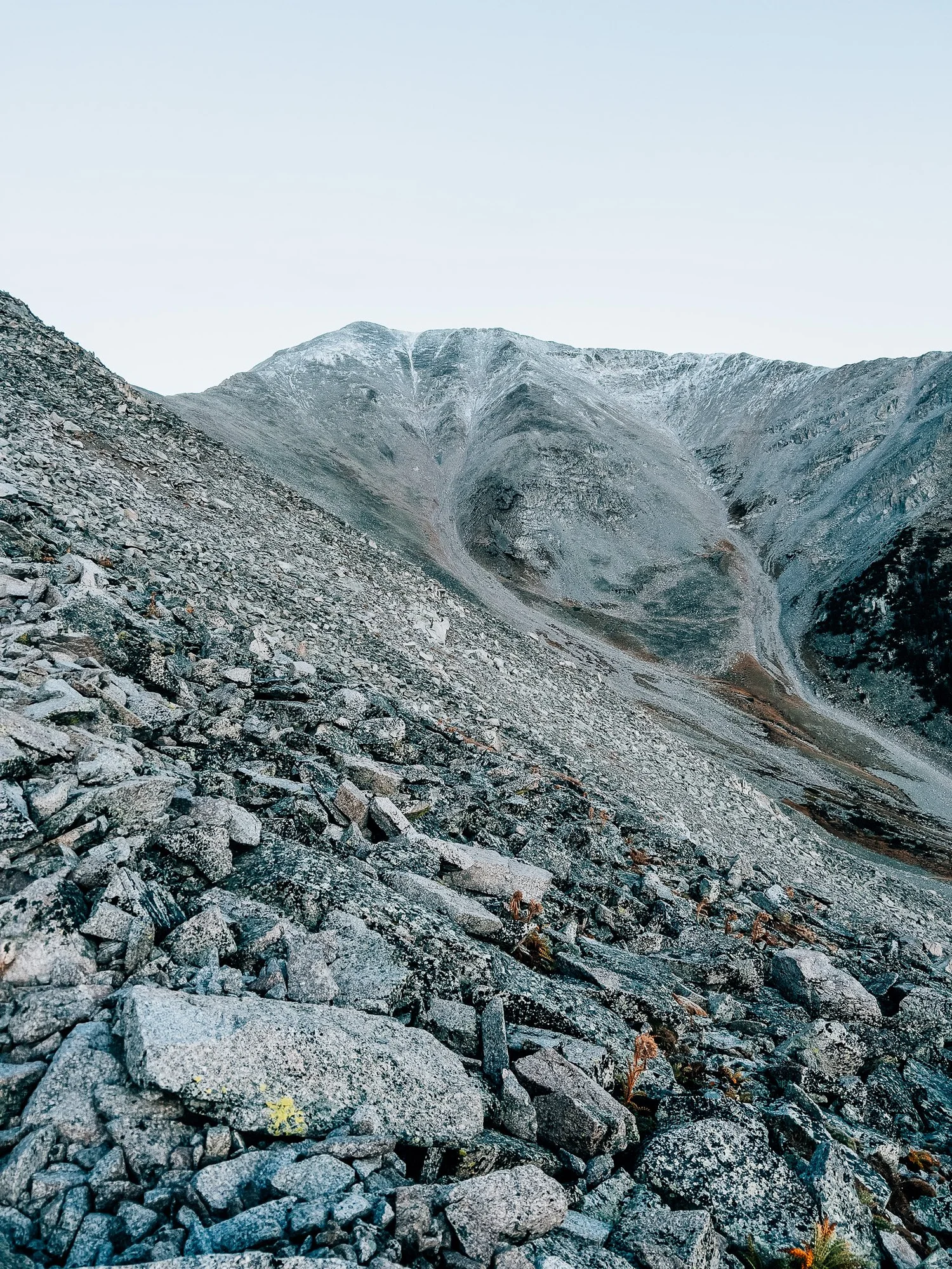
First Snow Patch
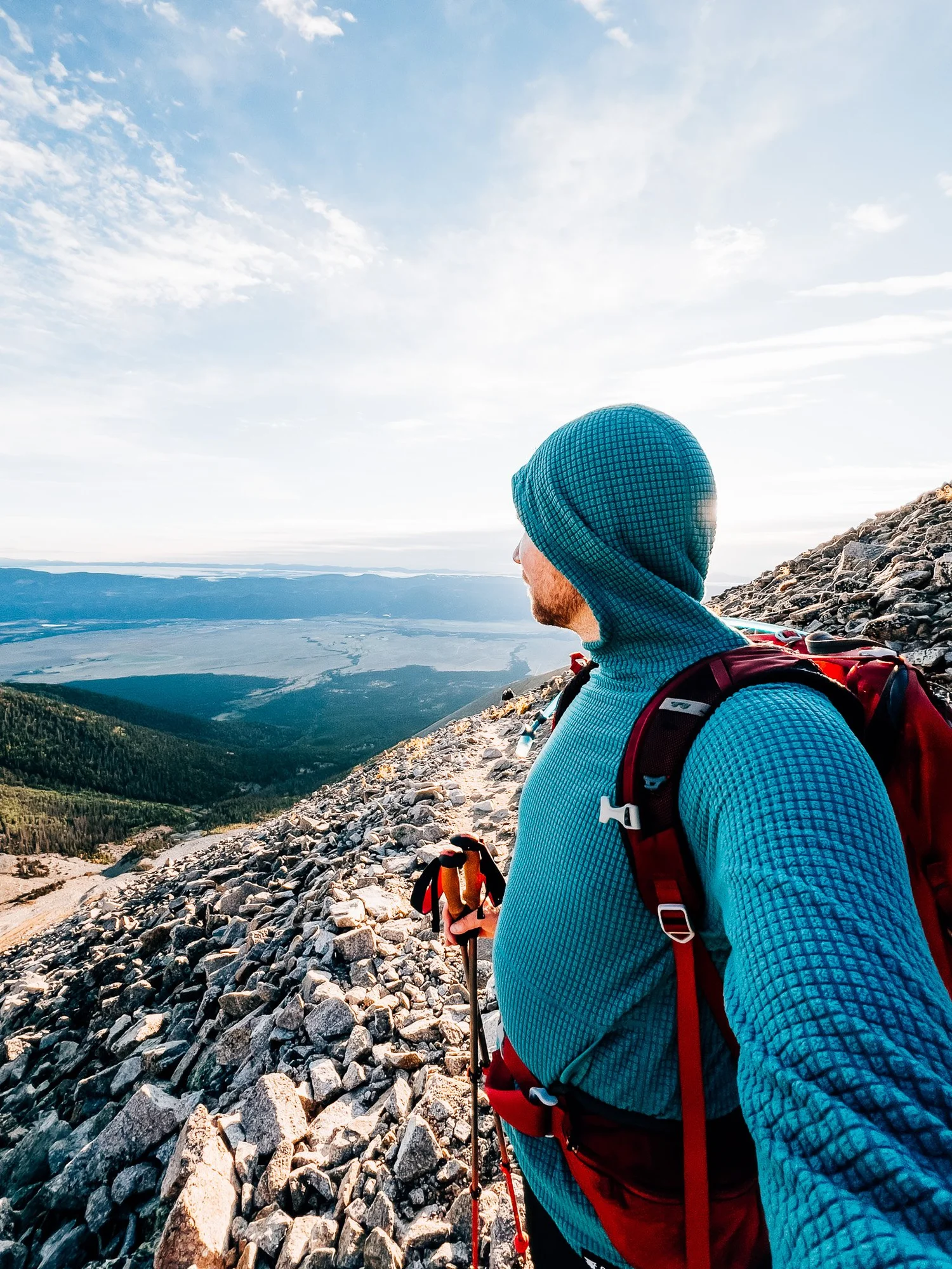
The trail crossed its first frozen patches, slick from recent storms. Princeton is generous with perspective — the Arkansas Valley and Buena Vista stay visible for nearly the entire route, giving a constant sense of how high you've climbed. Beyond here, larger boulders took over and the terrain roughened considerably.
Ridge Crest
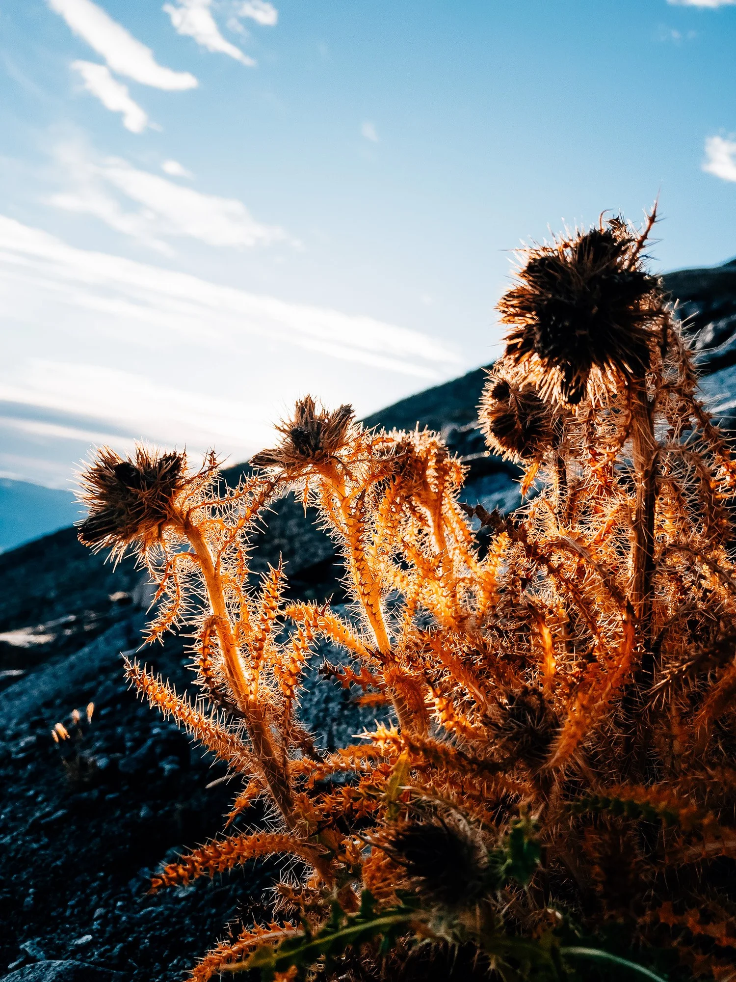
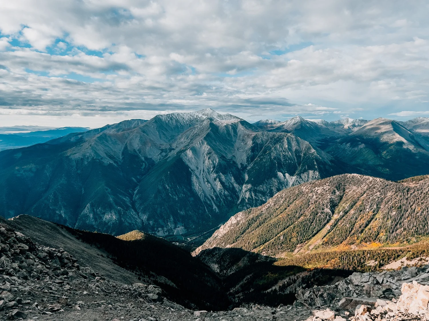
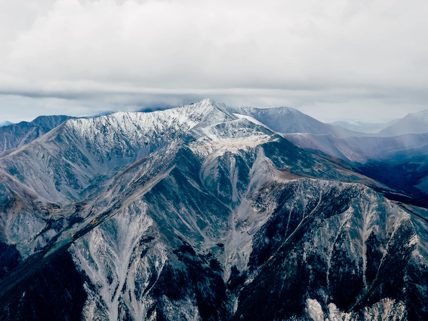
The path leveled briefly as I reached the ridge. Views opened south toward snow-capped Mount Antero, while clouds gathered in the distance. Route-finding grew tricky, with social trails diverging — the official line hugs the ridge.

Snow Line
Most of the ground was now patchy snow, with heavier clouds rolling in.
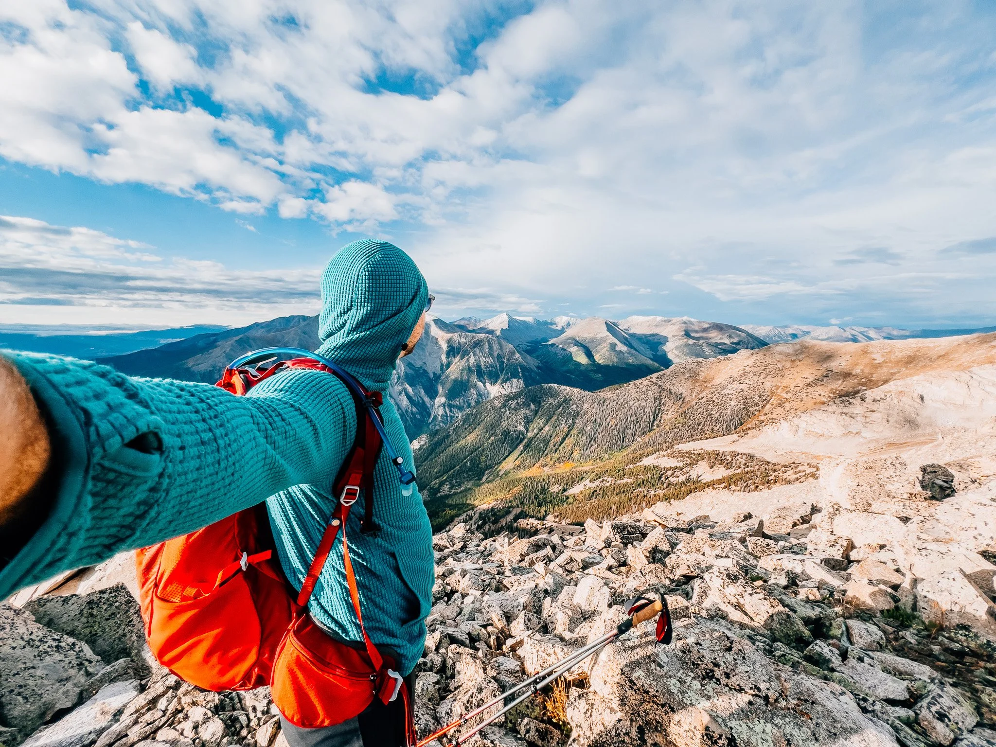
Mount Princeton Summit — 14,197 ft
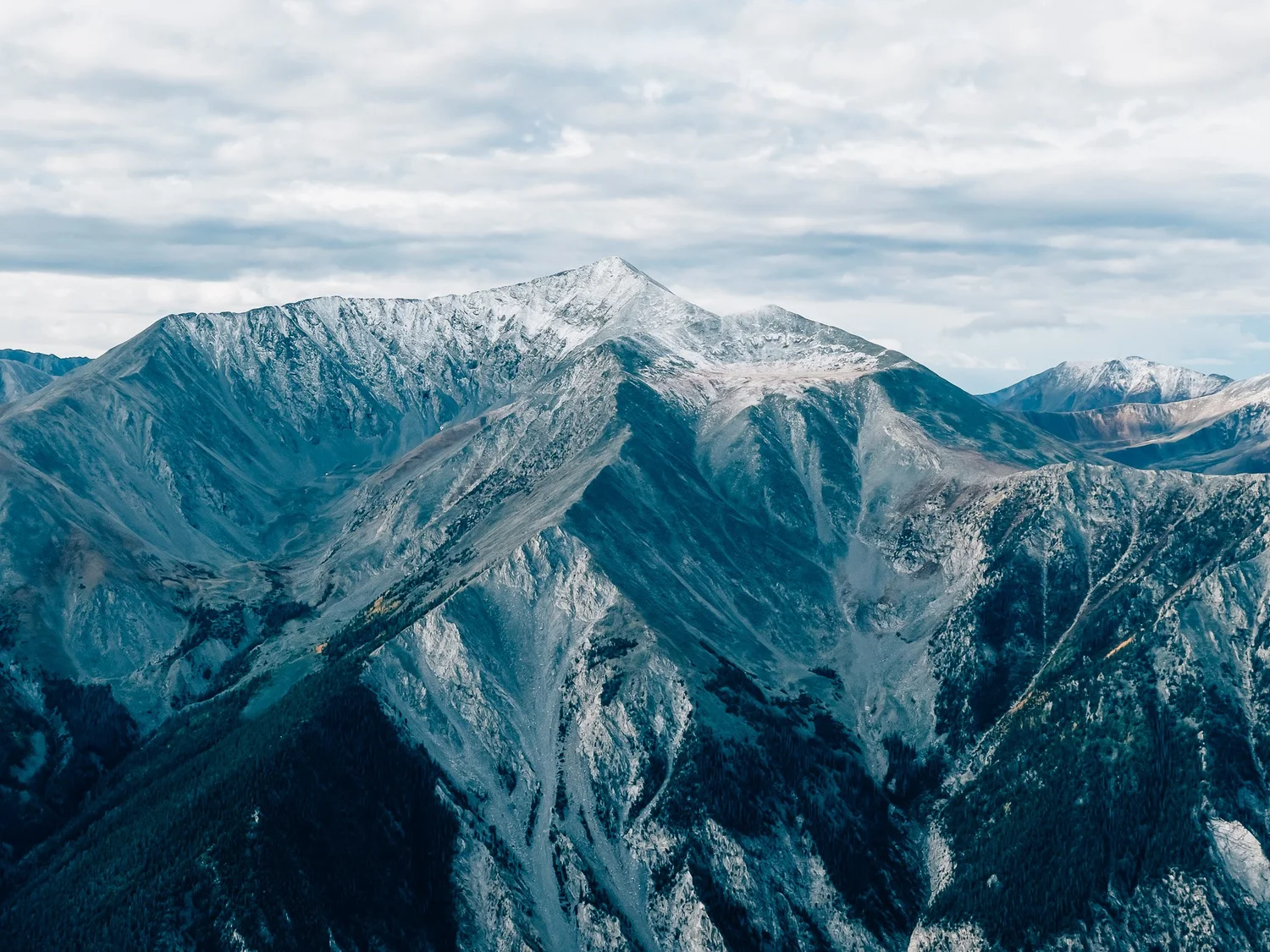
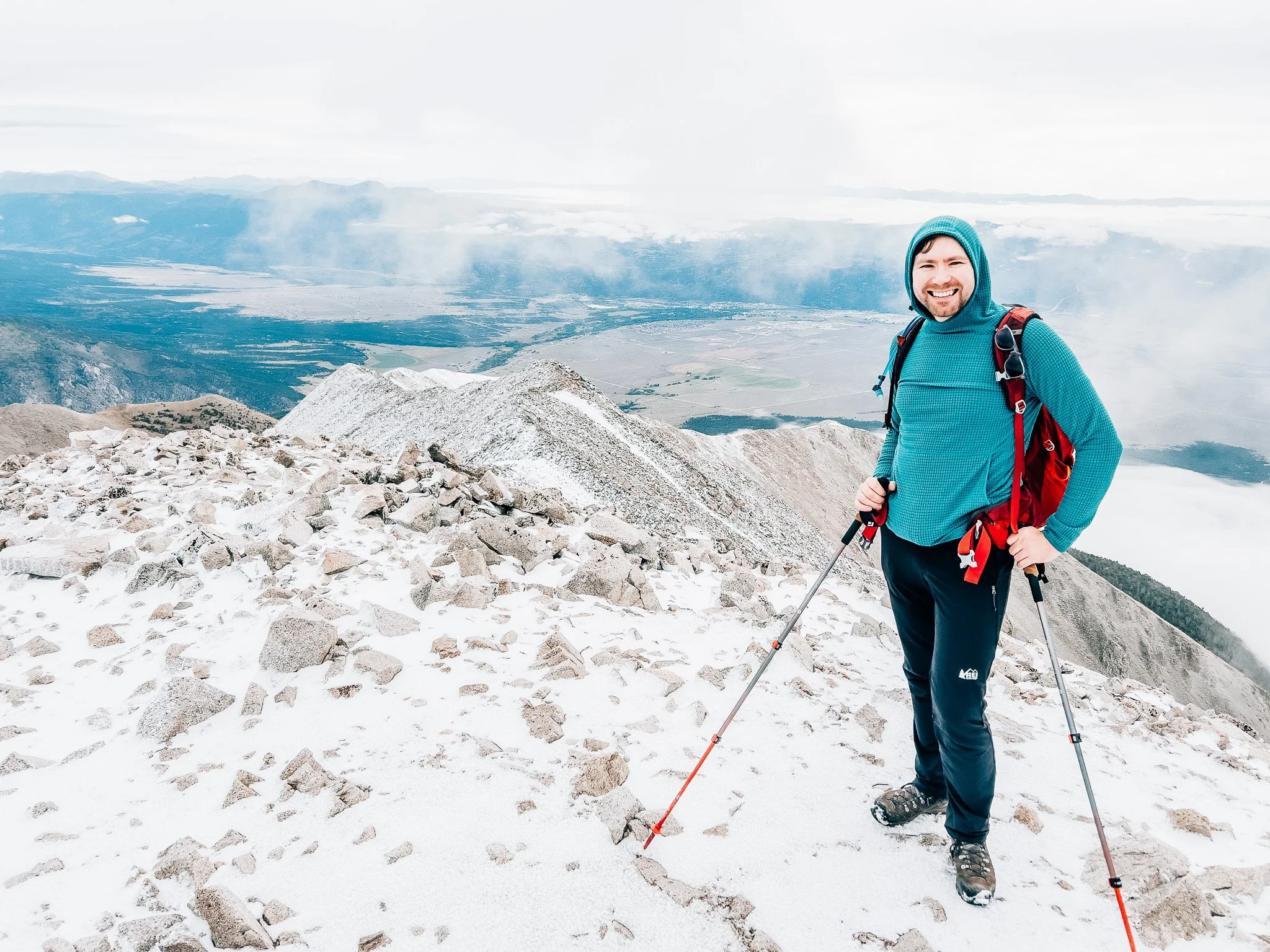
A broad rocky crown with sweeping 360° views. Buena Vista and the Arkansas Valley spread out to the east, while taller Sawatch peaks framed the other horizons. Clouds thickened quickly, so I didn't linger long.
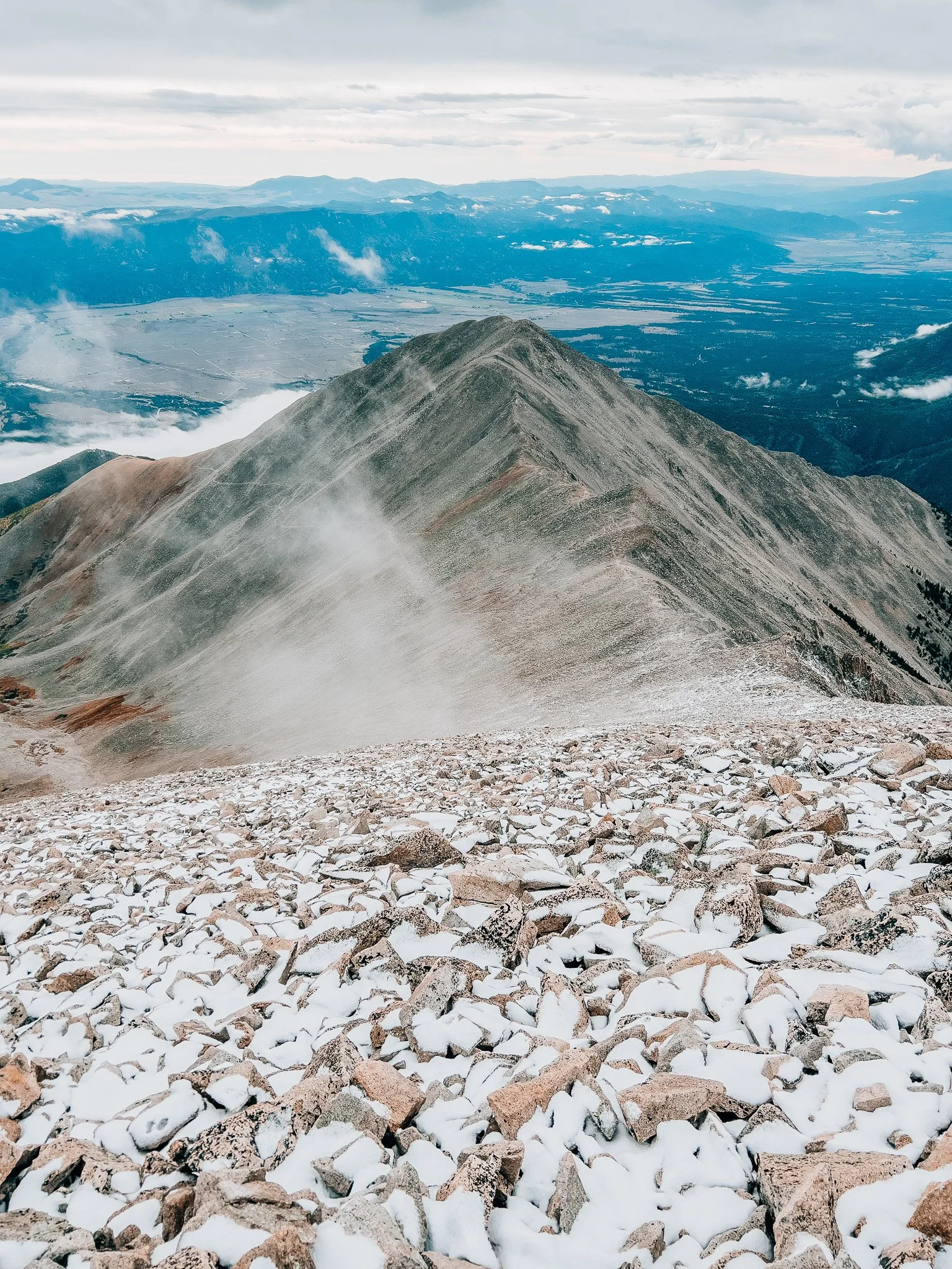
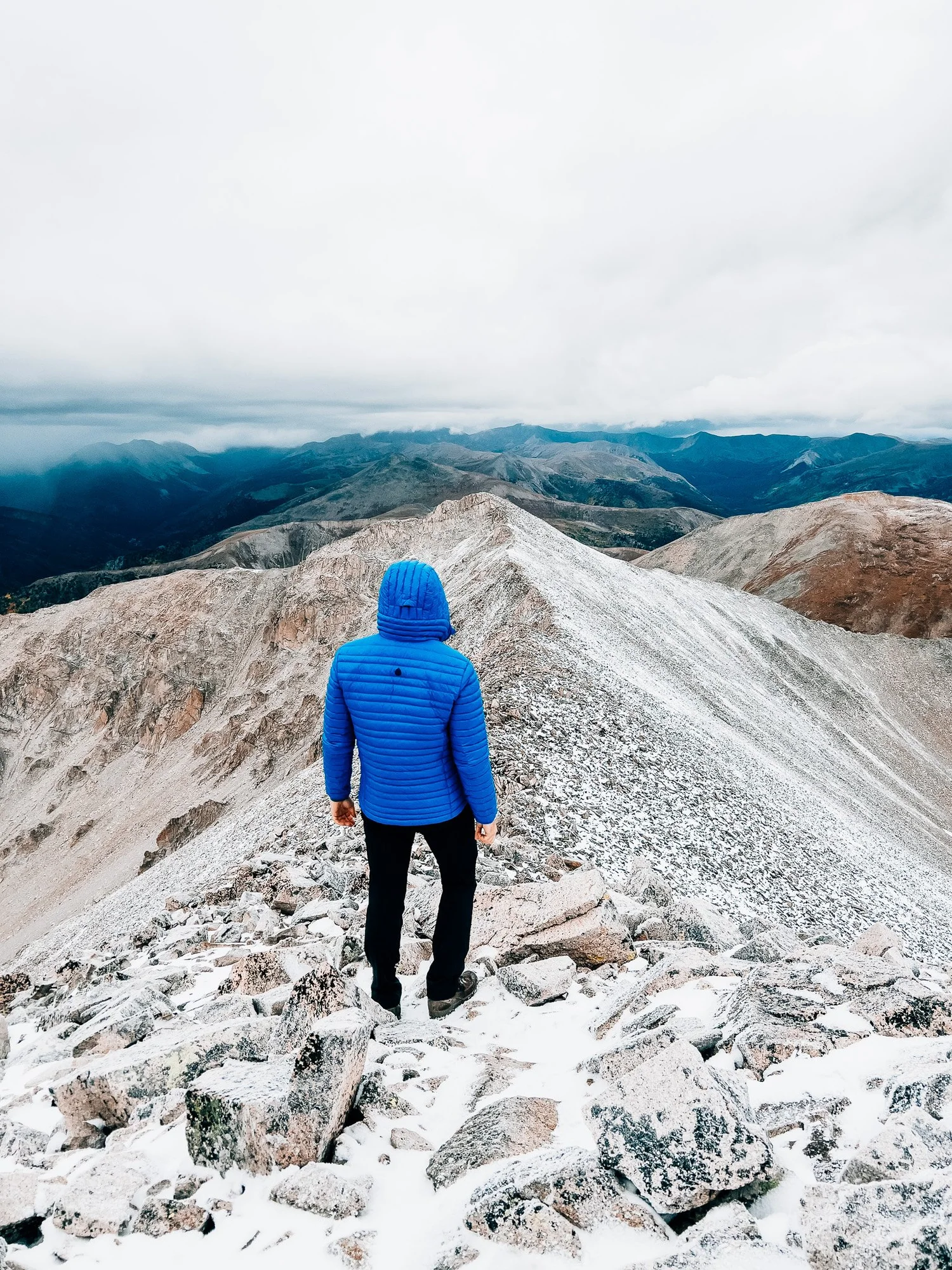
Beginning Descent
Snow squalls swept across the ridge — cold, but strikingly beautiful.
End of Ridgeline
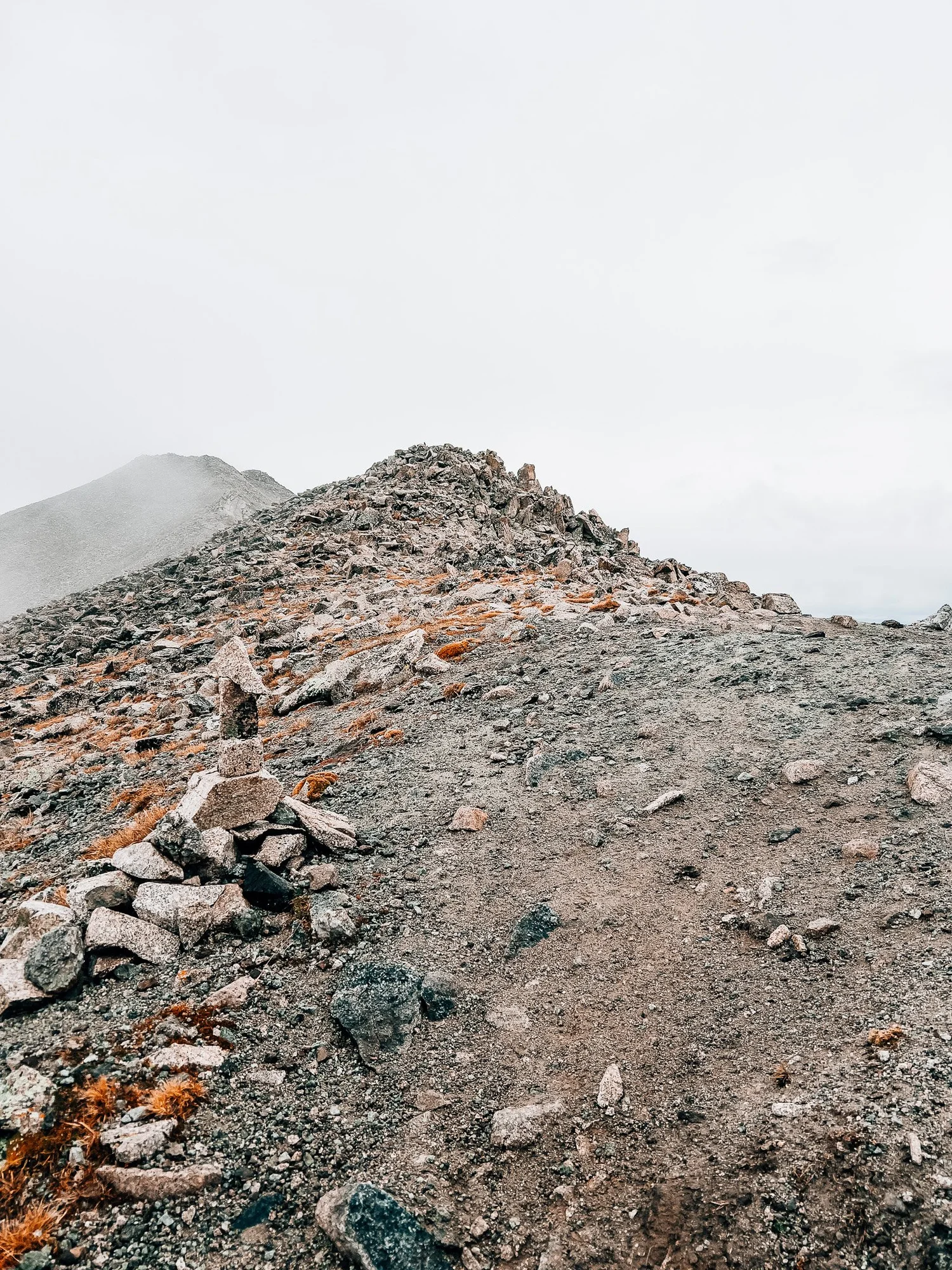
Reached the transition back into the larger boulder field, carefully working down slick rock. The thickening clouds made route-finding trickier than expected — worth keeping in mind on this route, especially in the upper section.
Route Guide
What you'll find along the way
- High Point
- 14,197′
- Mount Princeton
- Class
- 2
- Format
- Out & back
- 5.18 mi round trip
-
01
Alpine Tundra
Sweeping fall color across the upper plateau — and from around 12,000 feet, nearly the entire route to the summit is visible at once.
-
02
Boulder Fields
Large, loose boulders dominate above 12,400 feet — slick when frosted or wet, and slow going on both the ascent and descent.
-
03
Ridge Traverse
The upper route follows the ridgeline with social trails constantly diverging — stay on the official line hugging the ridge crest.
-
04
360° Summit Views
A broad rocky crown with panoramic views — Buena Vista and the Arkansas Valley to the east, with taller Sawatch peaks in every direction.
- Access
- Rough 4WD road above Buena Vista; most vehicles stop at the radio towers, but capable vehicles can continue higher. Starting higher shortens the route considerably.
Recorded with Strava
Full route on Strava (opens in new tab)Gallery


Until the next ridge,
Anton

what are you planning?
Disclaimer
Everything you find here, whether it's a hiking guide or a trail story, is meant for inspiration, not instruction. I'm not a guide, and I'm not responsible for what happens if you decide to follow a wrong turn or take on more trail than you're ready for.
The outdoors can be unpredictable, so always use your own judgment, check official resources, and know your limits. By using this site, you agree it's all at your own risk. Take what inspires you, leave what doesn't, and go make it your own adventure.
Enjoyed the trip report? Pass it along to a hiking partner.