Owl's Head – Trail Guide & Trip Report (White Mountains, NH)
Trail Notes
Owl's Head
Pemigewasset Wilderness, New Hampshire · 44.15°N 71.58°W
- Dist
- 14.33 mi
- Gain
- 3,138′
- Time
- 6:20
The Route
Route guide- Bike Lincoln Woods
- Black Pond Bushwhack
- Owl's Head Slide
- Summit
The Trail
Notorious for its long, wooded approach and viewless summit, Owl's Head isn't most hikers' favorite 4,000-footer. But by biking Lincoln Woods and using the Black Pond and Brutus bushwhacks, the day becomes shorter, drier, and surprisingly enjoyable — with the steep Owl's Head Slide offering the hike's best challenge and views.
Owl's Head sits deep in the Pemigewasset Wilderness, ringed by Franconia Ridge, the Bonds, and the Twins — one of the most remote summits on the NH 48. Its reputation is unkind: a long flat approach, a viewless wooded top, and miles of stream crossings.
The trick is to shortcut the slog. Biking the wide Lincoln Woods Trail erases the flat miles, while the Black Pond and Brutus bushwhacks — now so well-worn they're essentially trails — bypass the wet crossings entirely. What's left is the steep, narrow Owl's Head Slide, which delivers the only real climbing and the only real views of the day.

FROM THE TRAIL JOURNAL
Field Notes
Owl's Head gets talked about like a chore — the 4,000-footer everyone saves for last and nobody looks forward to. Biking the Lincoln Woods Trail completely changes that math. The flat miles that usually break people vanish in a quick, easy pedal.
The slide is the whole hike. Narrow, loose, almost a scree chute through the forest — and the one place all day where the trees open up and Franconia Ridge fills the view behind you. The summit itself is a few rocks in a clearing, no marker, no view, just the quiet satisfaction of tagging somewhere genuinely remote.
Bike in, bushwhack smart, enjoy the slide — Owl's Head is far better than its reputation.
— Anton
Trail Diary
Lincoln Woods Trailhead
Even at 7 a.m. on a Saturday, Lincoln Woods parking was full, so we ended up on the Kancamagus Highway shoulder. With warm weather ahead, we decided to make the long trek to Owl's Head a bit more manageable by biking in.
Black Pond Trail
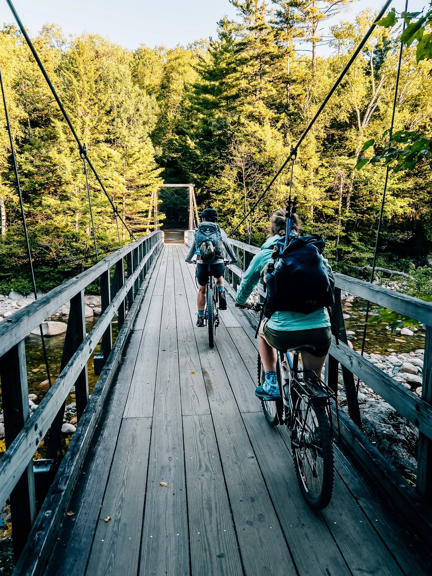
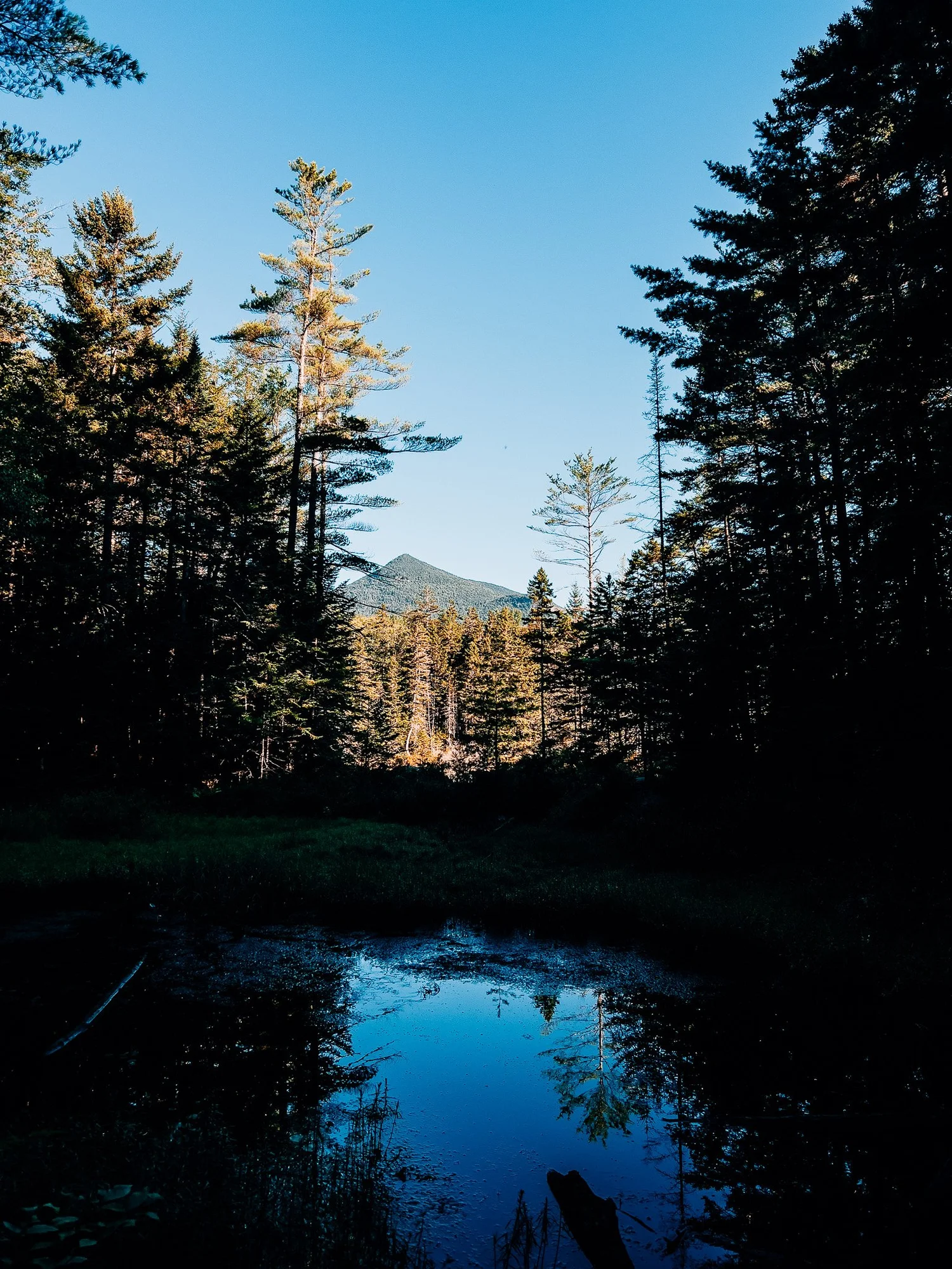
The bike ride on the wide Lincoln Woods Trail was quick and easy. We pedaled 2.74 miles with ~270 feet of gain, then took Black Pond Trail for about 0.1 miles until it became too rough to ride. We stashed the bikes, tied them to a tree, and set out on foot. From the pond, Owl's Head's wooded summit ridge was visible in the distance.
Black Pond Bushwhack
The so-called "Black Pond Bushwhack" hardly feels like one anymore — it's so well-worn that it's basically a proper trail. It bypasses numerous stream crossings and keeps things dry.
Owl's Head Slide
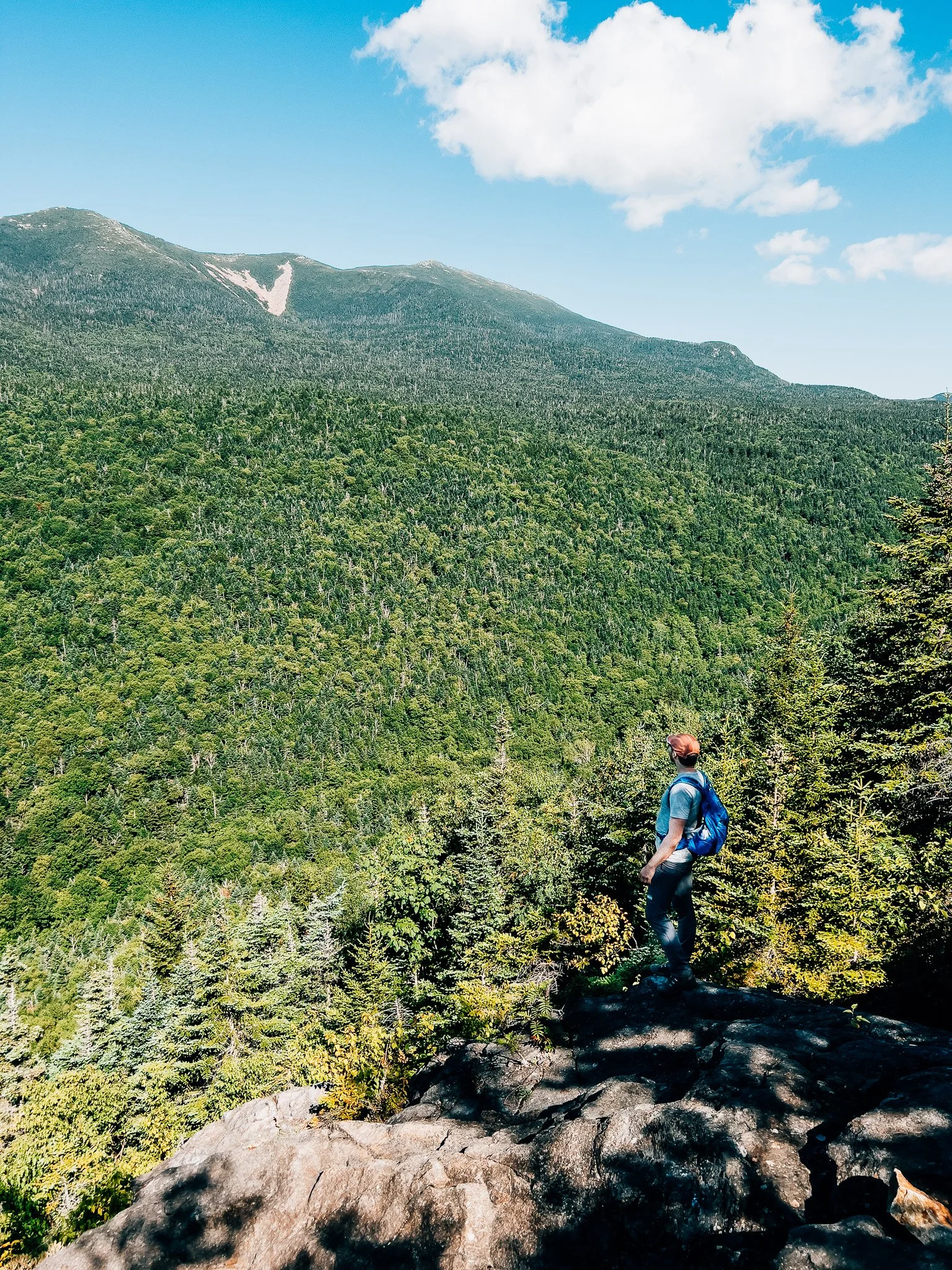
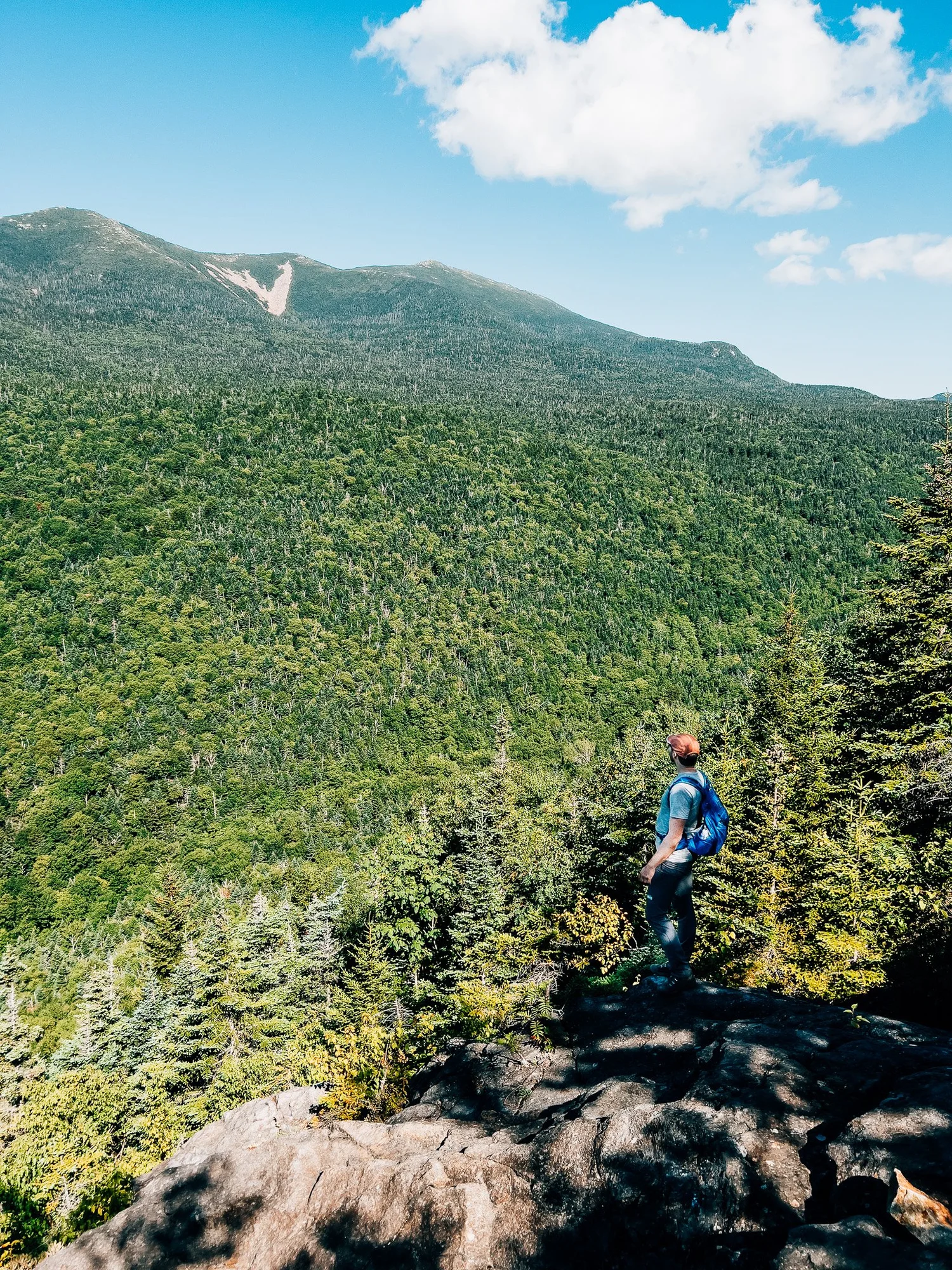
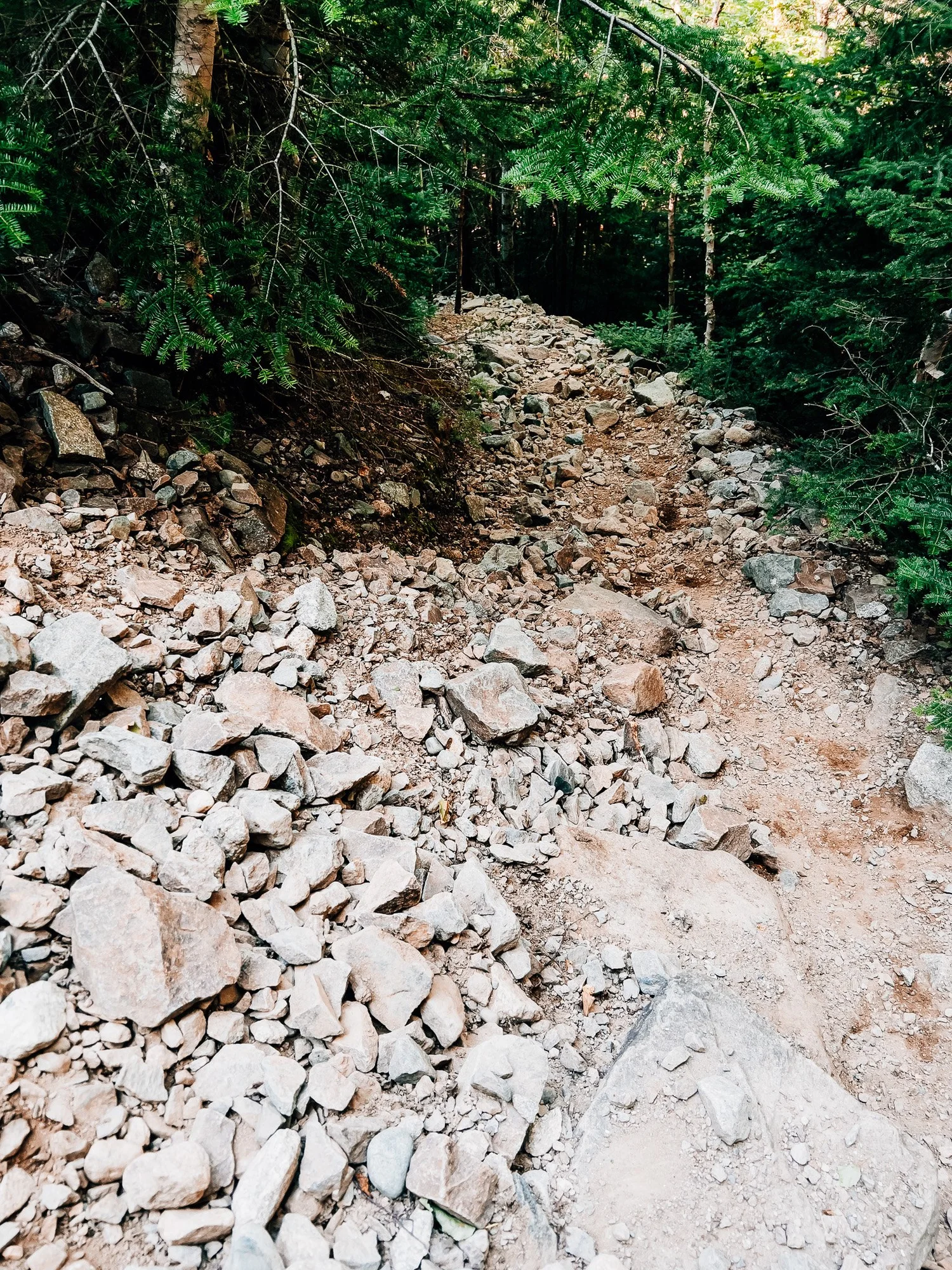
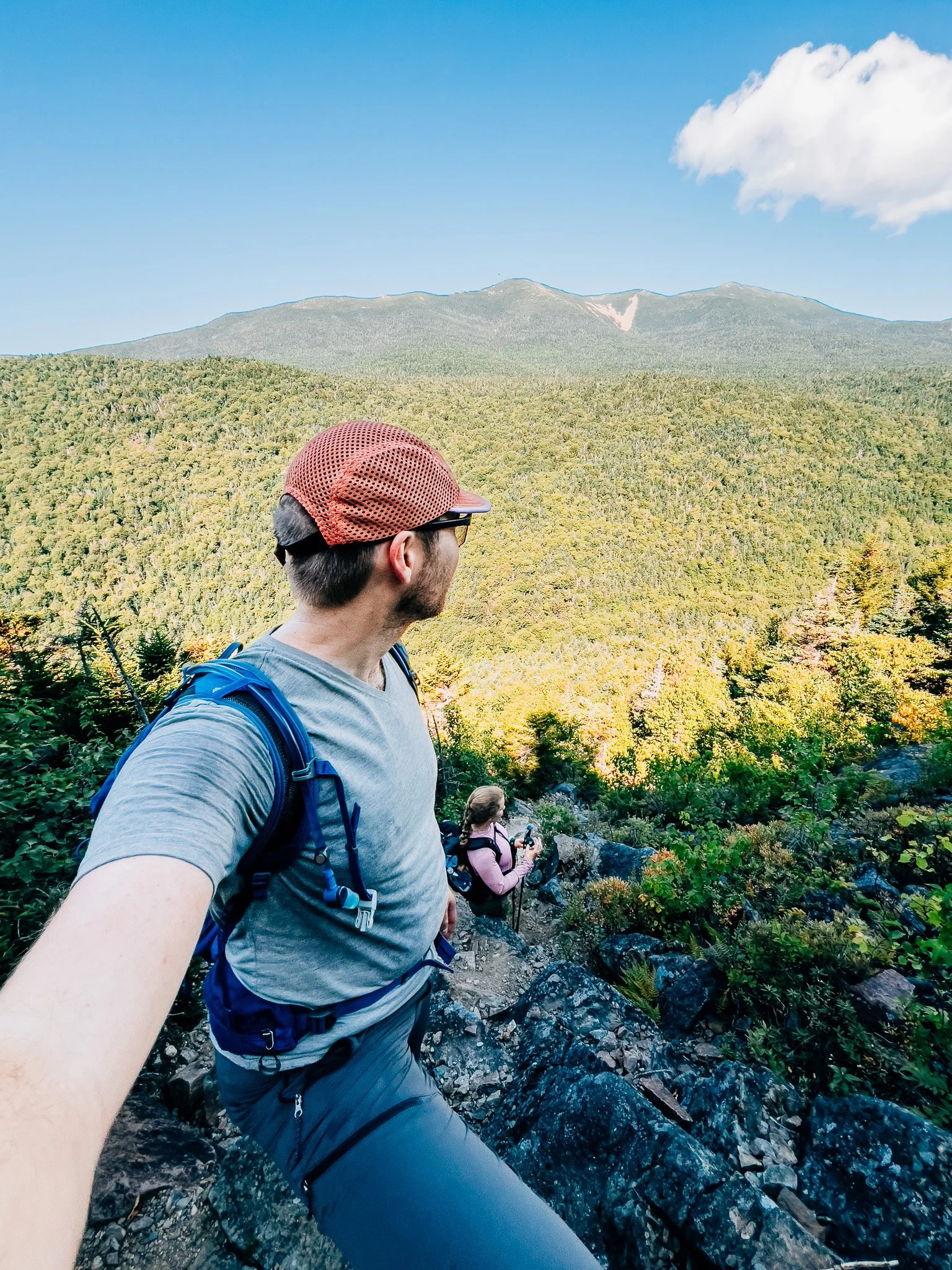
After a steady approach, we hit the base of the Owl's Head Slide. Unlike some of the wide, open slides elsewhere in the Whites, this one is narrow — almost like a scree chute through the forest. Steep, loose, and challenging, but rewarding. Looking back from higher up, we had sweeping views toward Franconia Ridge — easily the best scenery of the hike — before plunging back into thick woods for the final push.
Owl's Head Summit — 4,025 ft
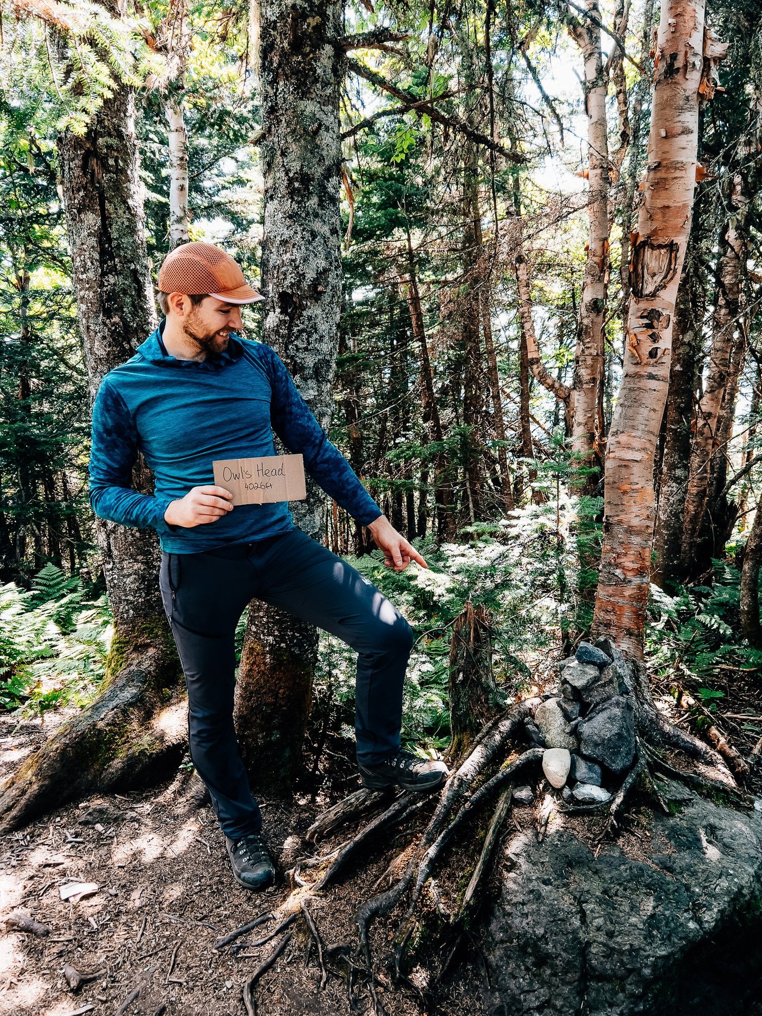
The "summit" itself was nothing more than a few rocks in a wooded clearing. No views, no markers — just the satisfaction of tagging one of the Whites' most remote 4,000-footers.
Brutus Bushwhack Back
We descended via the Brutus Bushwhack, a far better choice than returning down the steep slide. It reconnected smoothly, avoiding tricky footing.
Back at the Trailhead
A short 15-minute bike ride wrapped up the day. Bike in, bushwhack smart, and Owl's Head turns out to be a far better outing than its reputation suggests.
Route Guide
What you'll find along the way
- High Point
- 4,025′
- Owl's Head
- Class
- 1–2
- Format
- Bike + hike
- 14.33 mi total
-
01
Bike Approach
Pedaling the wide, flat Lincoln Woods Trail cuts the long approach dramatically — and makes the return effortless. A bike is essentially mandatory for a sane day on Owl's Head.
-
02
Black Pond Bushwhack
Once a genuine off-trail route, the Black Pond Bushwhack is now so well-worn it's essentially a trail. It bypasses numerous stream crossings and keeps your feet dry for miles.
-
03
Owl's Head Slide
The steepest and most dramatic section of the day — a narrow scree chute rising sharply through the forest. The views looking back toward Franconia Ridge are the best of the entire hike.
-
04
Remote Summit
Owl's Head is one of the most isolated 4,000-footers in the Whites — a viewless wooded clearing deep in the Pemigewasset Wilderness. No sign, no marker, just the satisfaction of getting there.
- Access
- Lincoln Woods TH. Very popular, fills up early. Limited overflow parking available on highway shoulder.
Recorded with Strava
See the hike on Strava (opens in new tab) See the bike ride on Strava (opens in new tab)Gallery


Until the next ridge,
Anton

what are you planning?
Disclaimer
Everything you find here, whether it's a hiking guide or a trail story, is meant for inspiration, not instruction. I'm not a guide, and I'm not responsible for what happens if you decide to follow a wrong turn or take on more trail than you're ready for.
The outdoors can be unpredictable, so always use your own judgment, check official resources, and know your limits. By using this site, you agree it's all at your own risk. Take what inspires you, leave what doesn't, and go make it your own adventure.
Enjoyed the trip report? Pass it along to a hiking partner.