Mount Harvard – Trail Guide & Trip Report (Sawatch Range, Colorado)
Trail Notes
Mount Harvard
Collegiate Peaks, Colorado · 38.87°N 106.27°W
- Dist
- 13.2 mi
- Gain
- 4,500′
- Time
- 8:10
The Route
Route guide- North Cottonwood Trailhead
- Horn Fork Basin
- Boulder Field
- Mount Harvard
The Trail
The Collegiate Peaks have some of my favorite views in all of Colorado's fourteeners. On the last day of July I went up Harvard with a maybe on Columbia, and got a slow, stubborn boulder field and one of the smallest summits I've ever stood on.
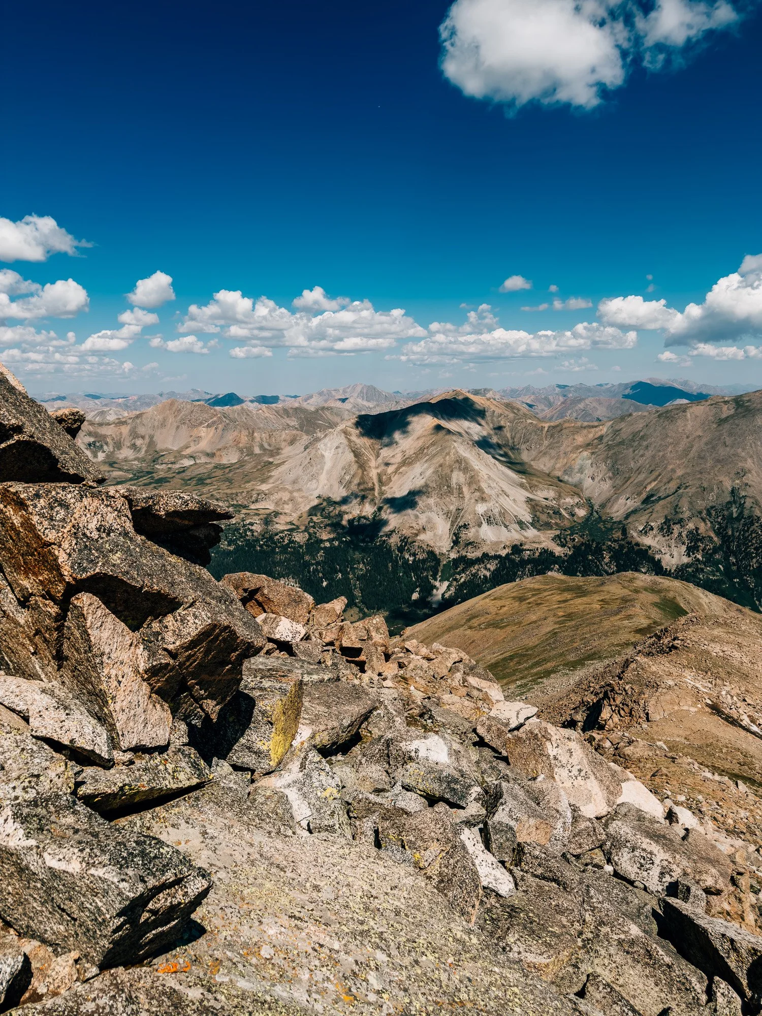
There are so many great mountains in the Collegiates, at every level of hard. Some are pretty accessible, some not so much. My favorite thing about those summits is that you almost always get a 360-degree view of tall, beautiful peaks all around you.
When I came out to Colorado this summer, I didn't have a set list of 14ers. Between the wildfire closures and everything else, I decided to play it by ear and hike whatever made sense on any given day. So on the last day of July, I went for Harvard, with Columbia as a maybe. I knew the lot would be busy, so I left Silverthorne at 1:30 a.m. and drove out toward Buena Vista.

FROM THE TRAIL JOURNAL
Field Notes
The first five and a half miles of Harvard are friendly — a gradual, well-kept trail through forest and then wide alpine meadows. The last mile is not. Where Horn Fork Basin runs out, you're on a steep slope of big boulders, and that one mile took me close to two hours.
Budget your energy for the top, not the approach. And if you're thinking about adding Columbia, make that call honestly at the split — I passed on it, and by the time I got back to the car I was glad I did.
One fourteener was plenty.
— Anton
Trail Diary
North Cottonwood Trailhead
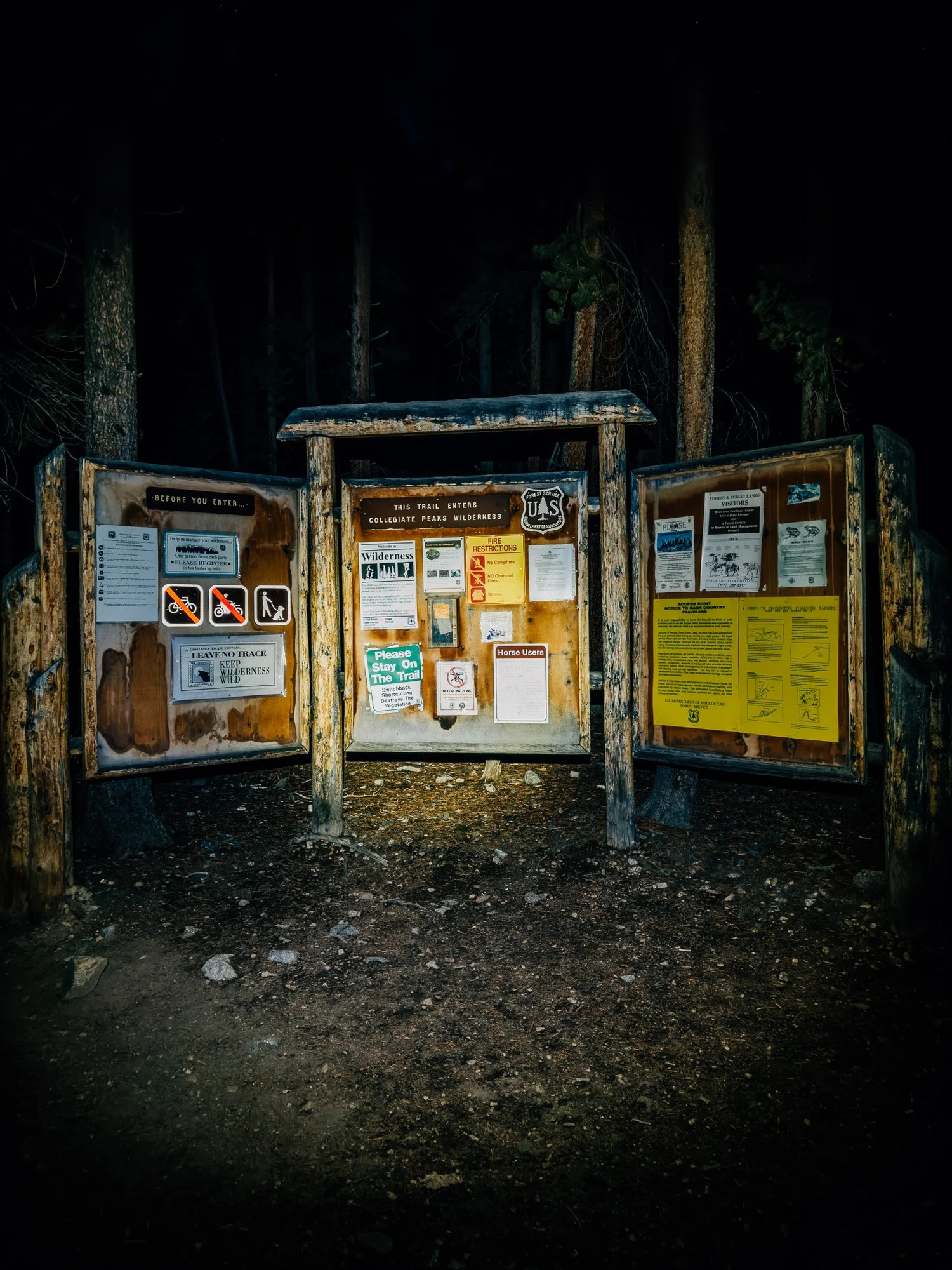
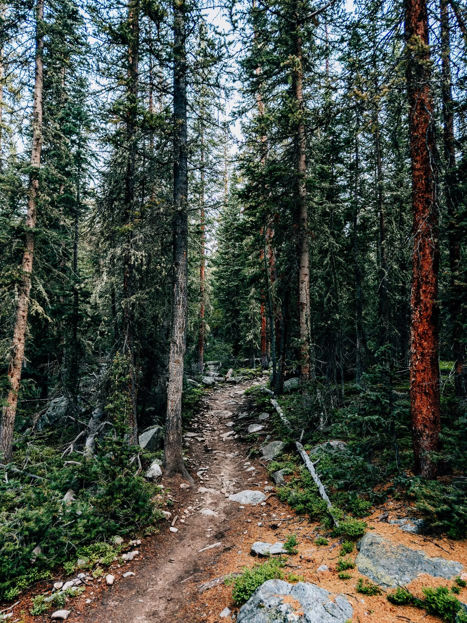
I got one of the last spots in the lot, so leaving Silverthorne at 1:30 a.m. paid off. There was no point starting at 3 a.m., so I napped in the back of the car first. Started hiking at 5:19 with light shining on the trailhead board.
Collegiate Peaks Wilderness
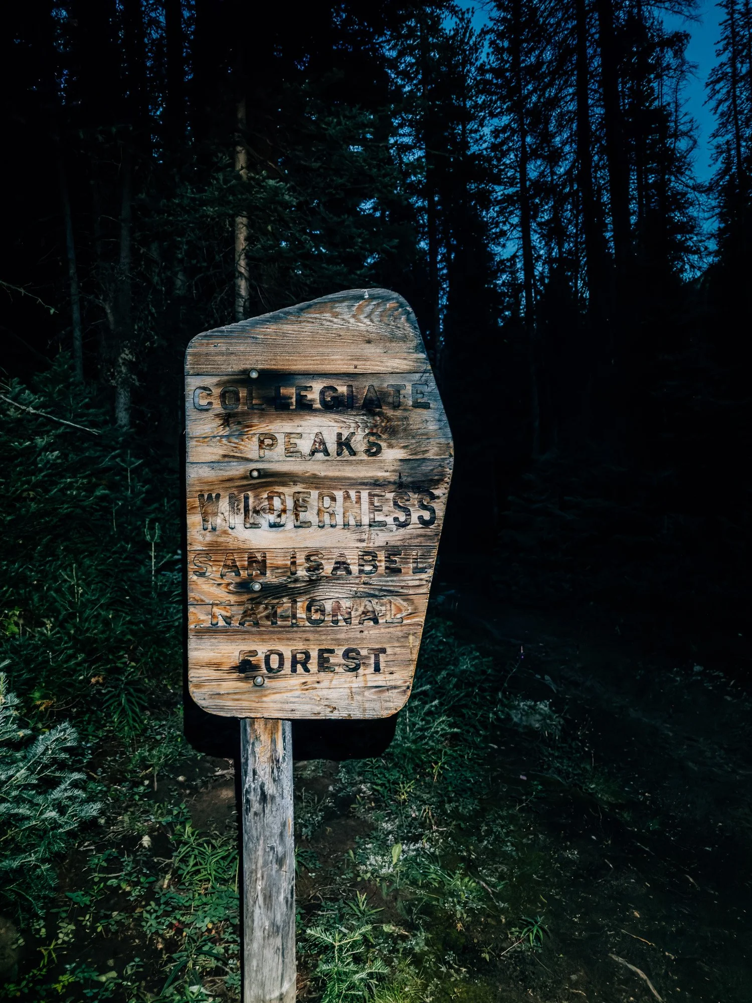
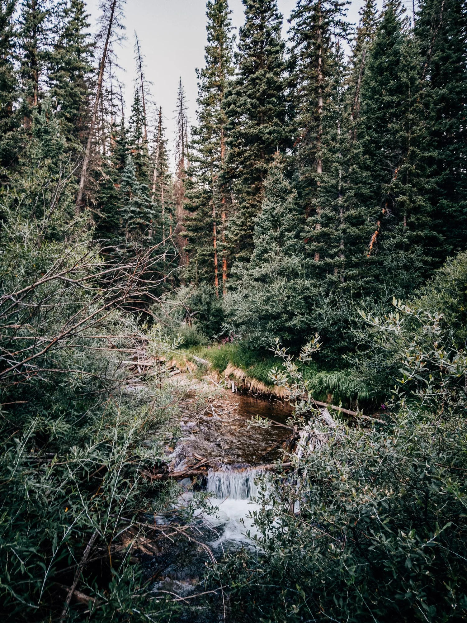
Shortly after leaving the trailhead, I crossed into the Collegiate Peaks Wilderness in San Isabel National Forest. The trail crosses a creek and keeps going through pine forest.
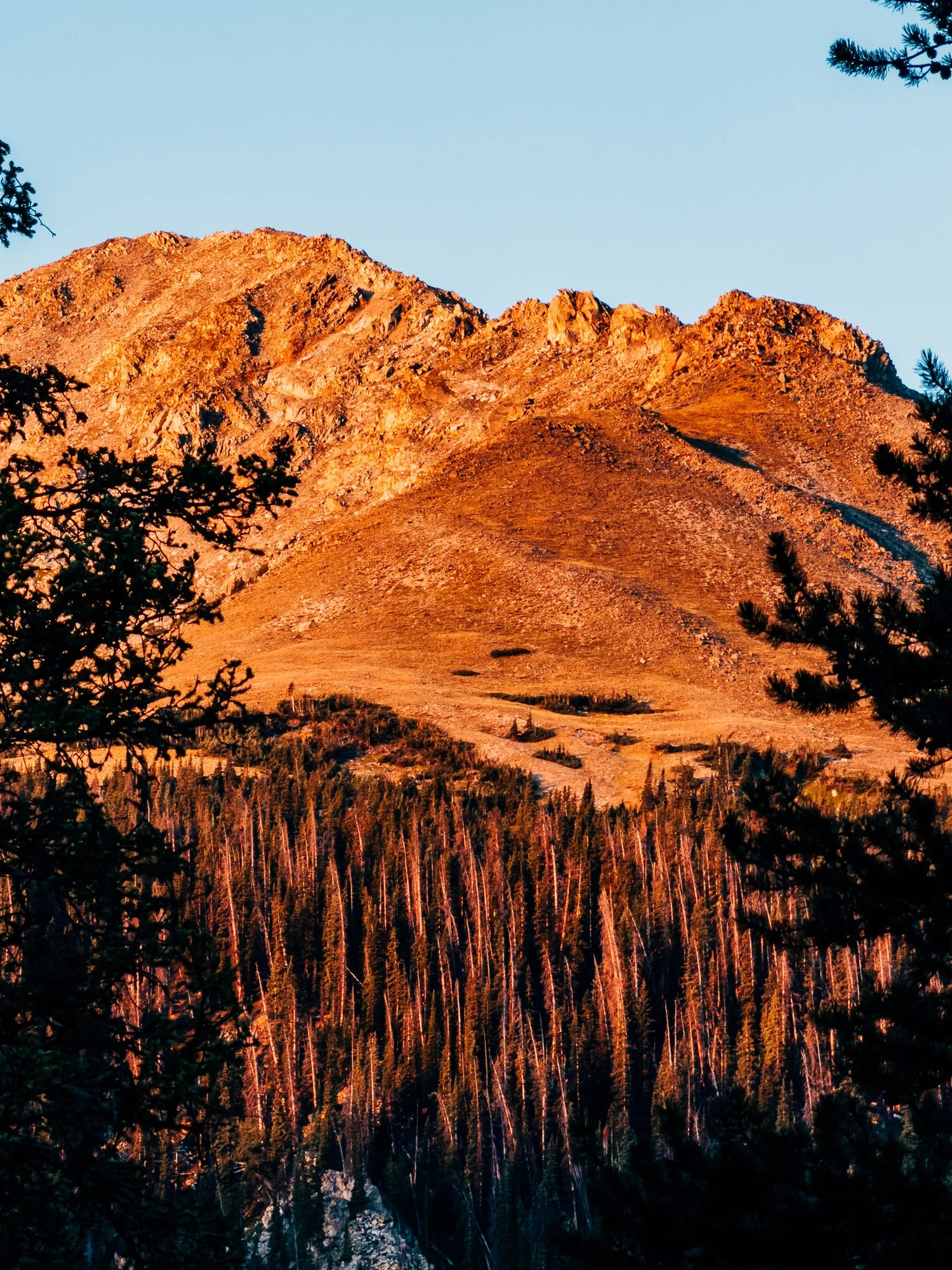
Alpenglow
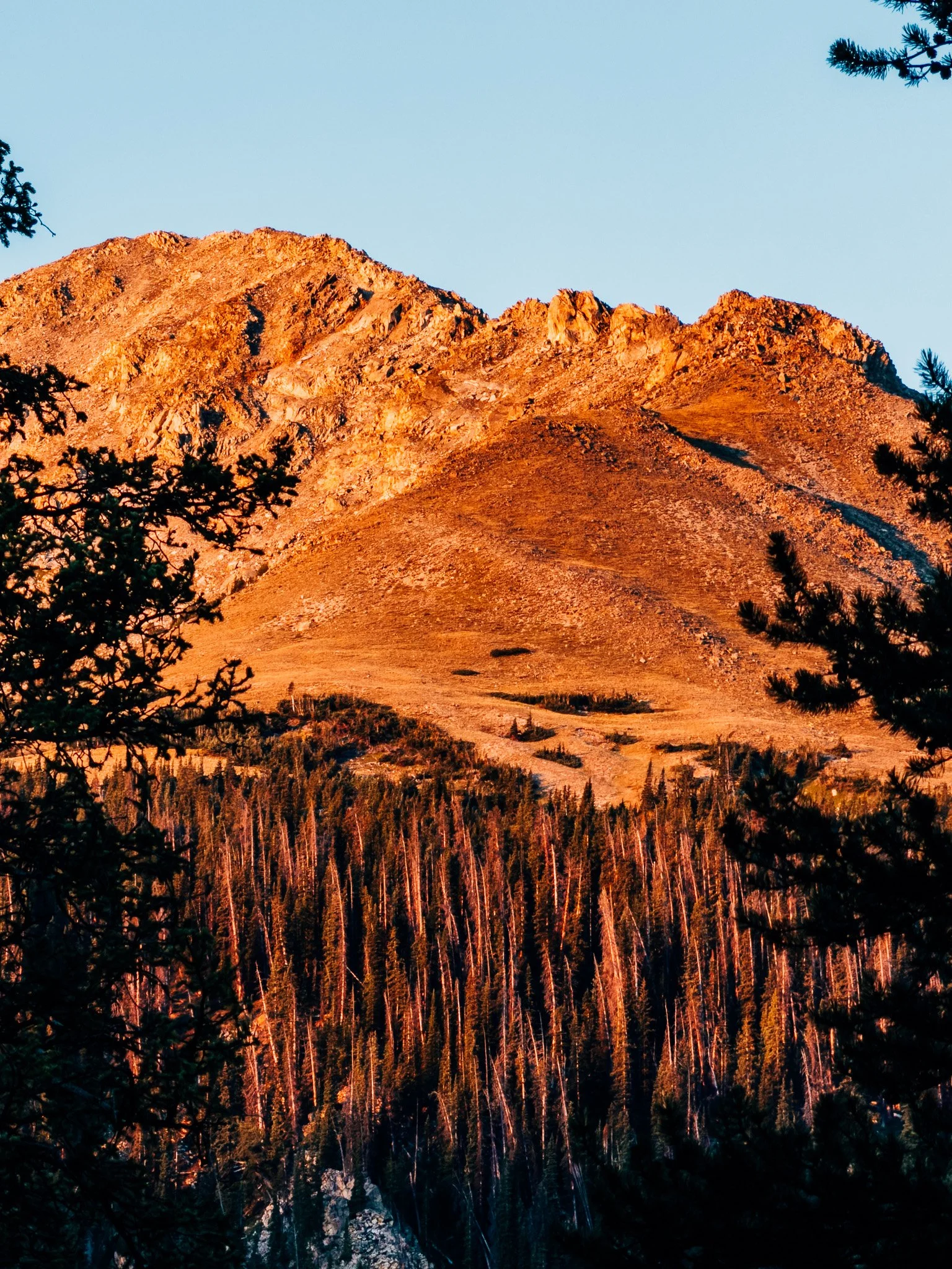
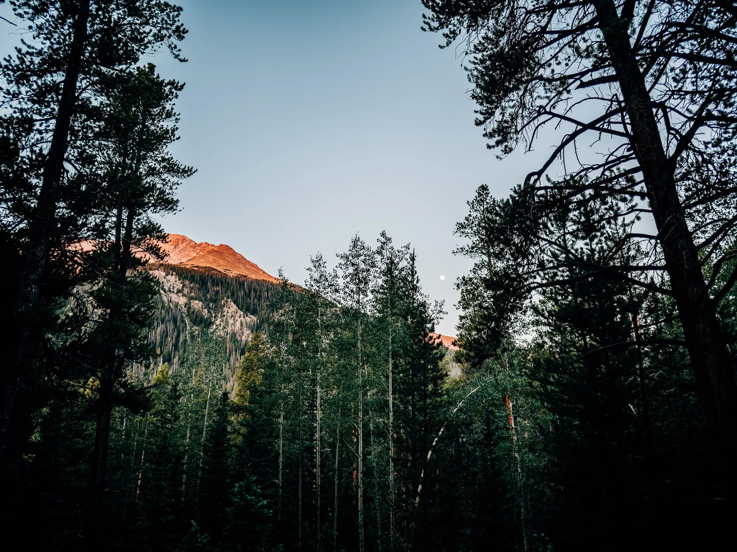
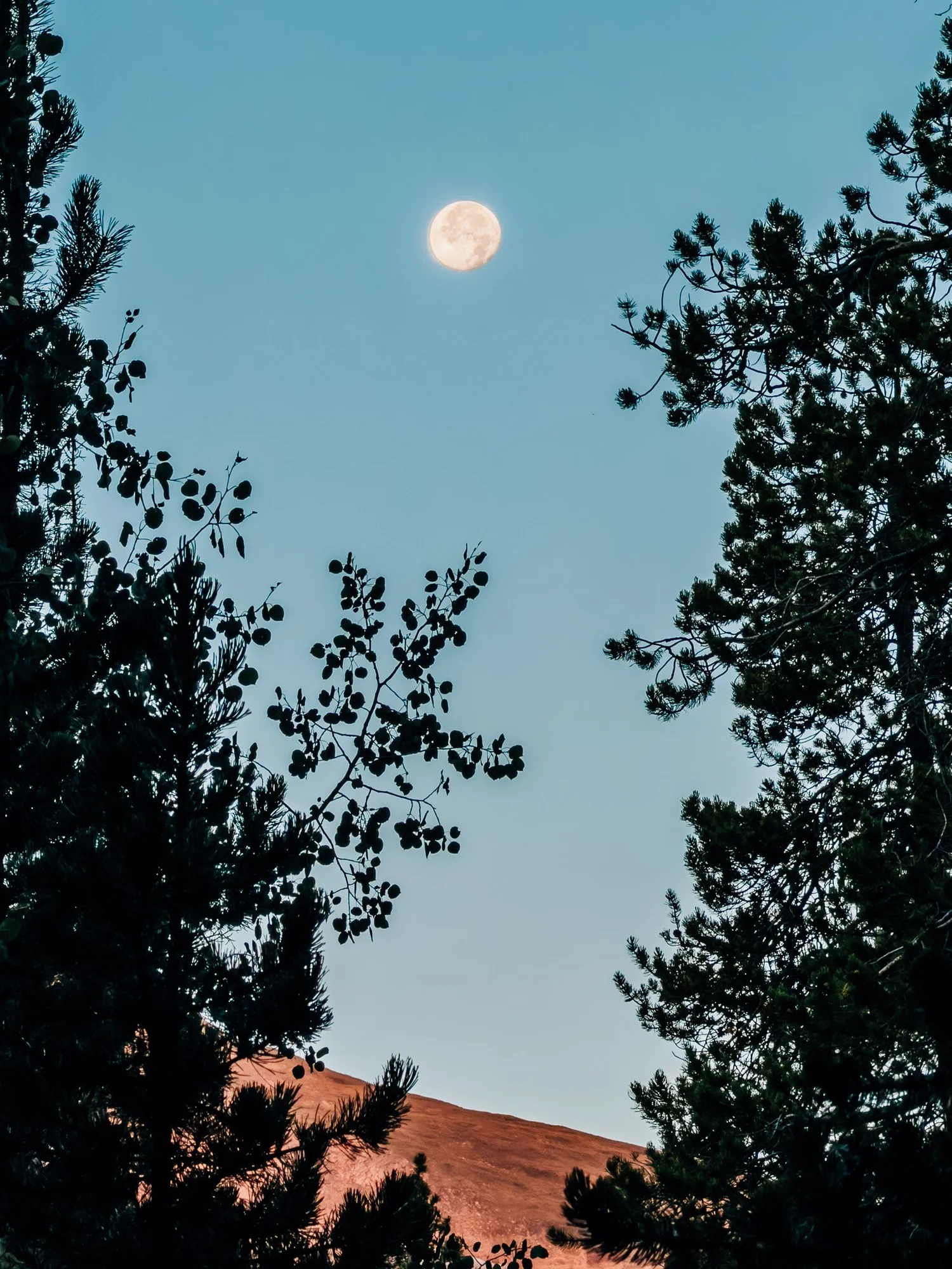
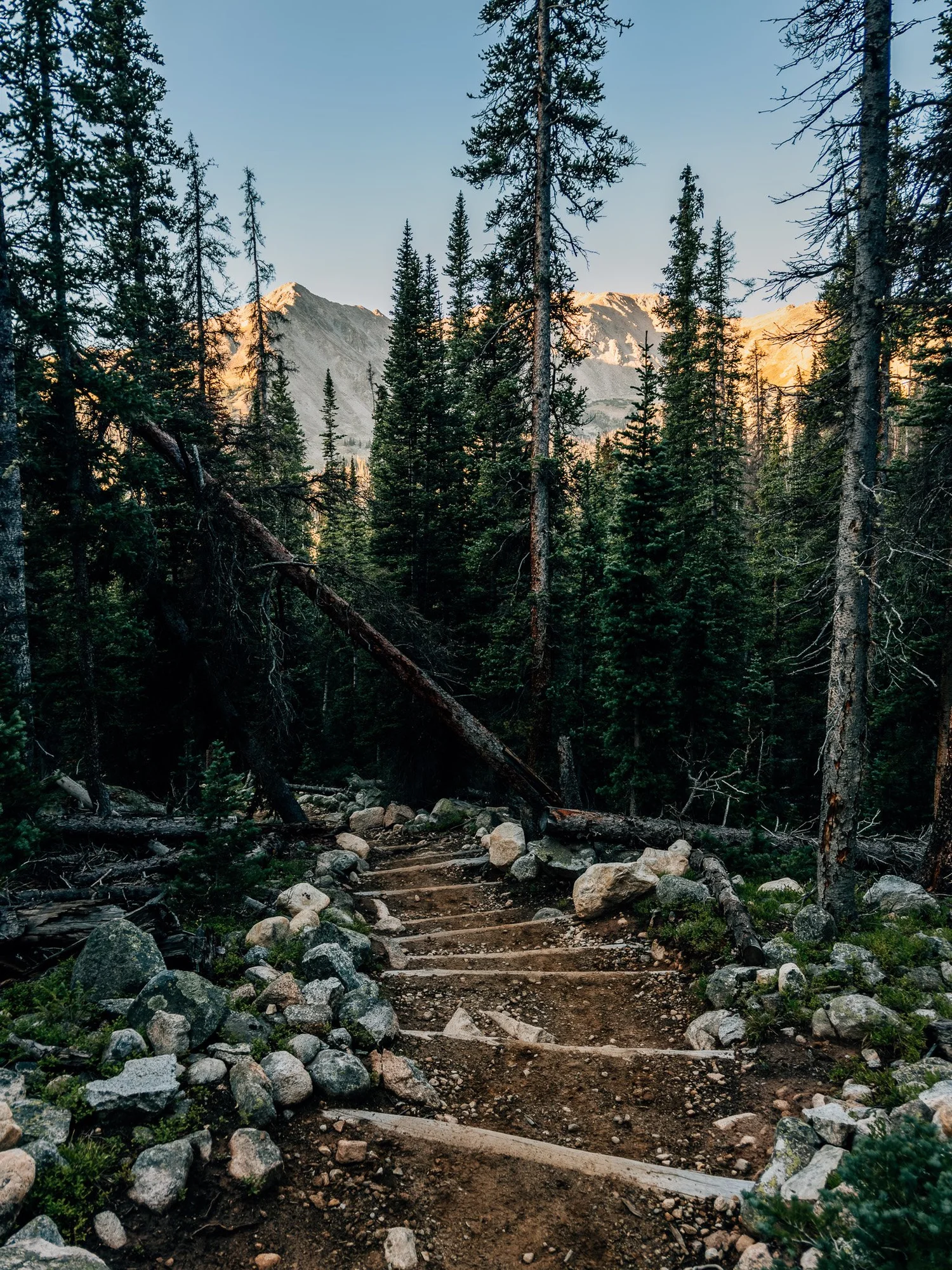
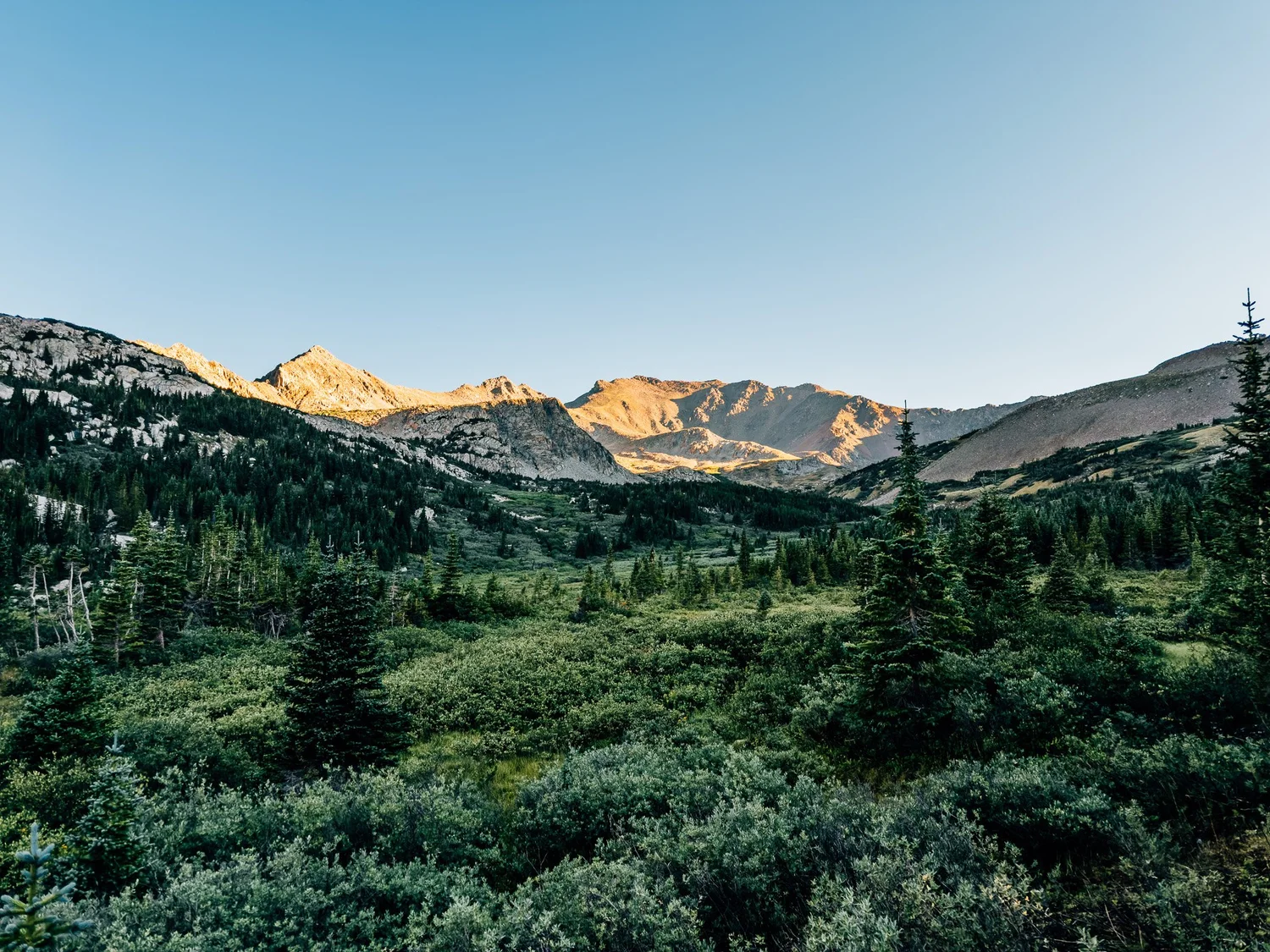
My first glimpse of the surrounding peaks, lit up in pink morning alpenglow, with an almost-full moon still hanging over them. A wonderful morning. This part of the trail is gradual and well maintained, with nice little stone steps in a lot of places, most likely the work of the Colorado Fourteeners Initiative.
The Columbia Split
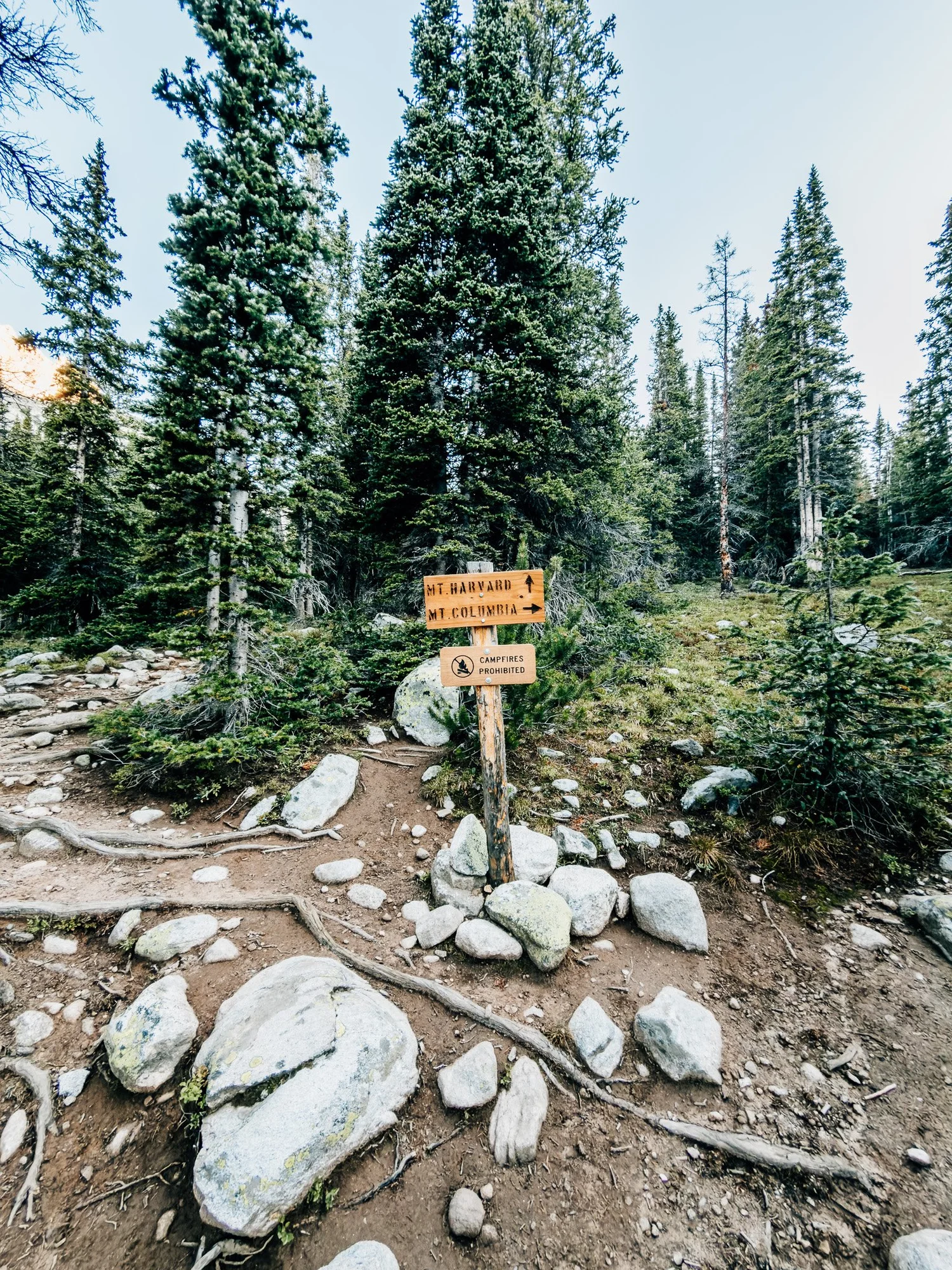
Reached the junction where you either split off toward Columbia or keep going straight to Harvard. I had to make a call here: could I do both in one day? I might have had the energy, but I decided to stick with Harvard and come back for Columbia another time. That turned out to be the right call — I was exhausted by the end of the day.
Horn Fork Basin
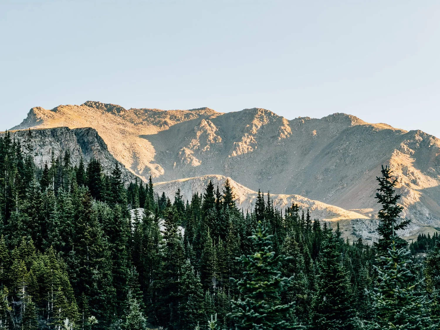
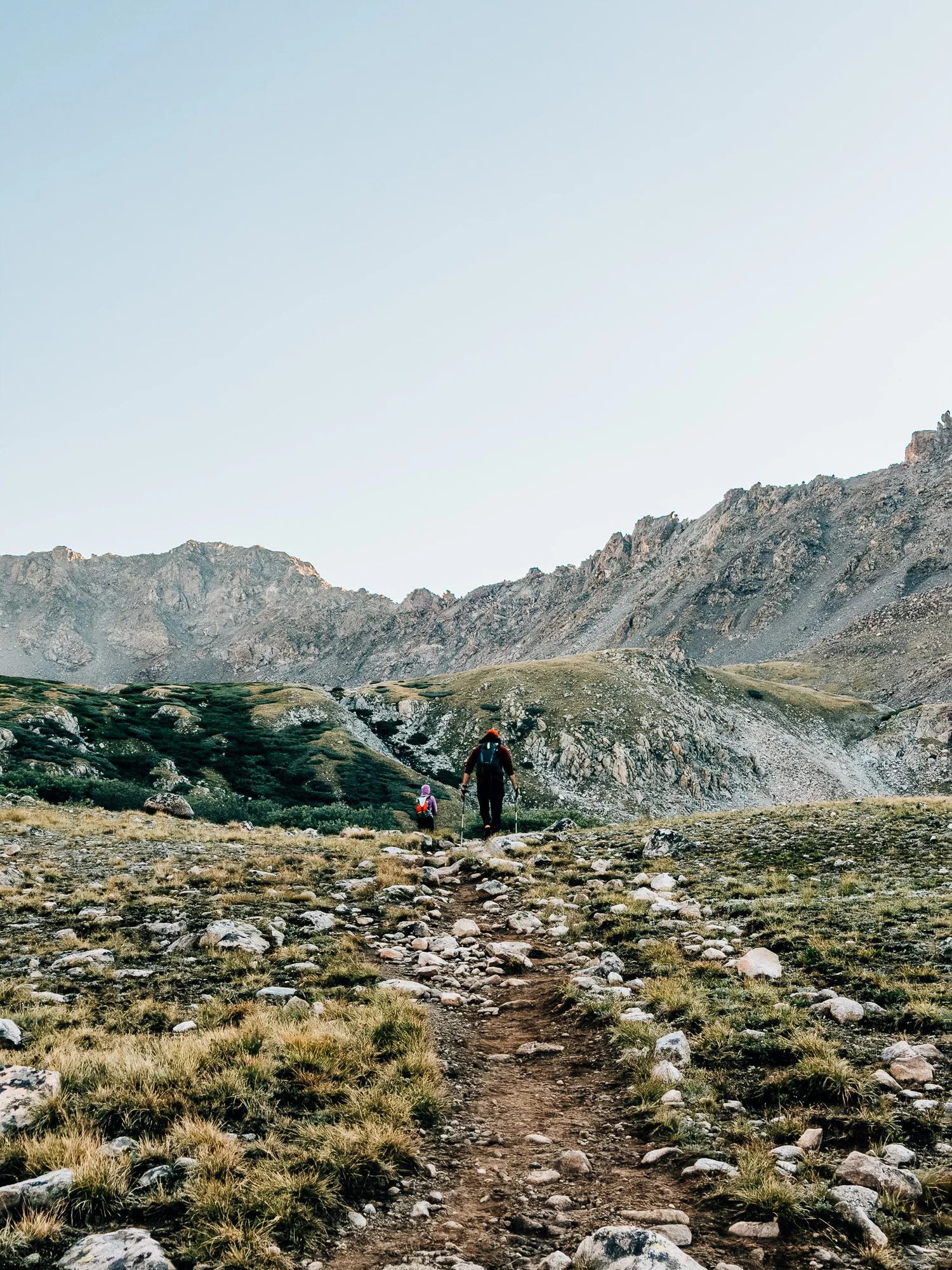
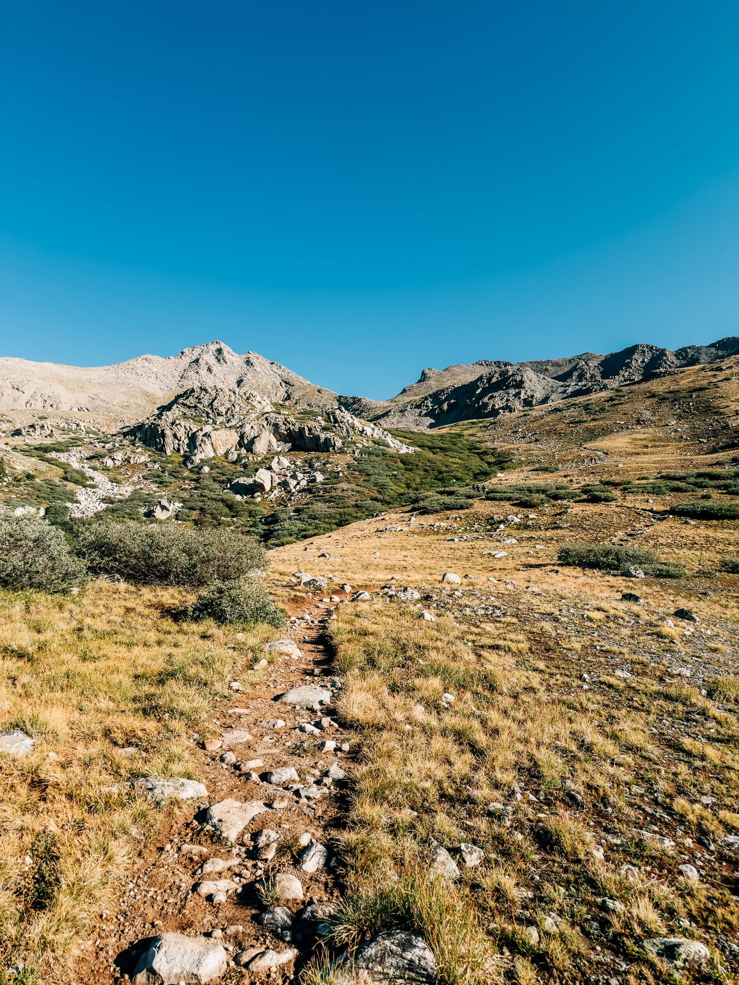
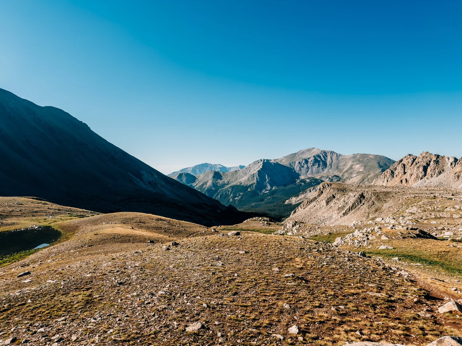
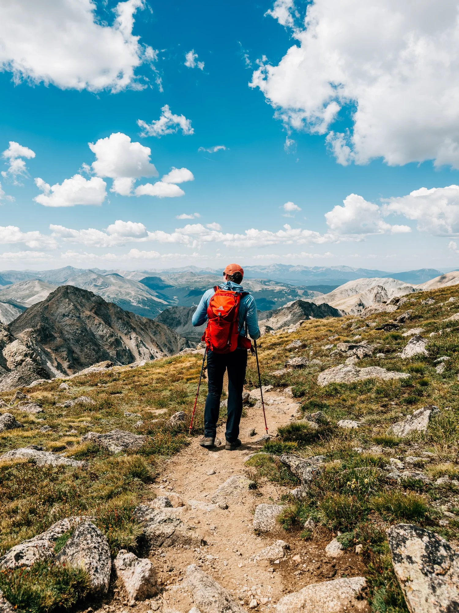
The evergreens got shorter and the views kept opening up, and by 7:39 I was out of the trees and into a wide-open alpine meadow. The sun was lighting up the peaks around me, and a few hikers started passing me on the way up.
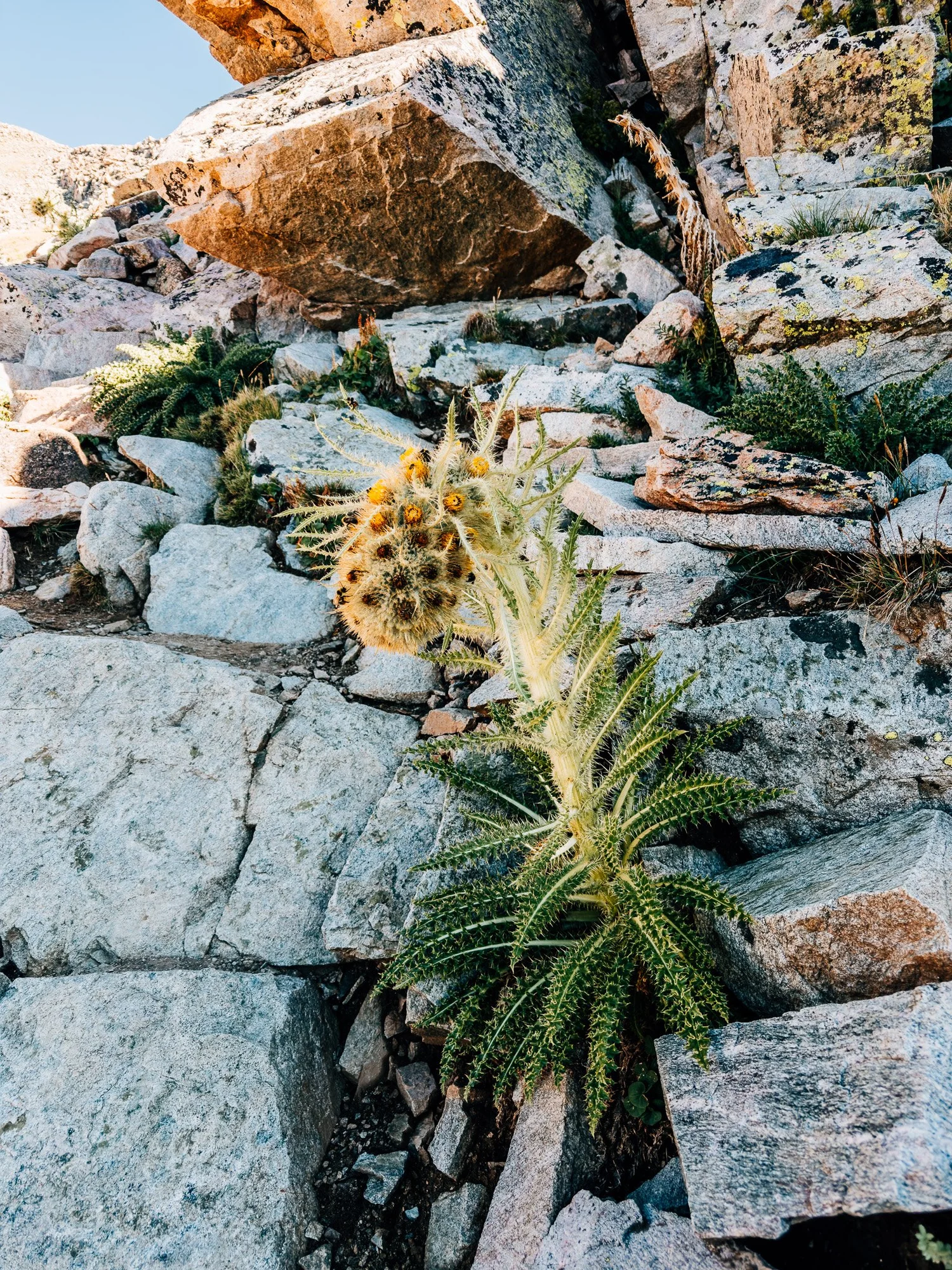
Honestly, this morning was a slog. The trail isn't technical, but I was incredibly tired, probably because I'd been up since basically midnight. The trail winds up through the meadows, with Columbia on your right and Harvard straight ahead. The wildflowers were done by then, partly the drought and partly the time of year, though I did spot a cool thistle of some kind.
The Boulder Field
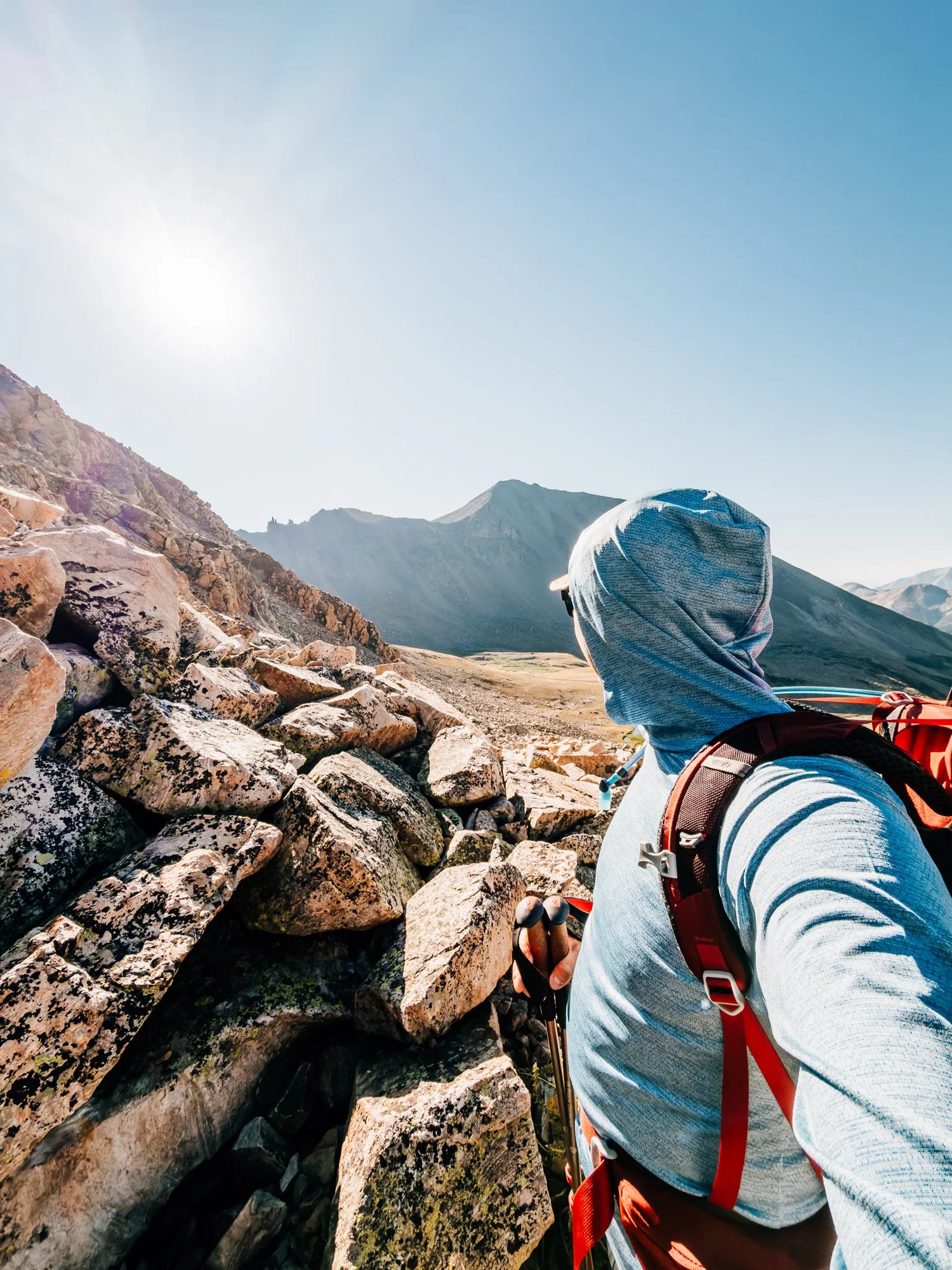
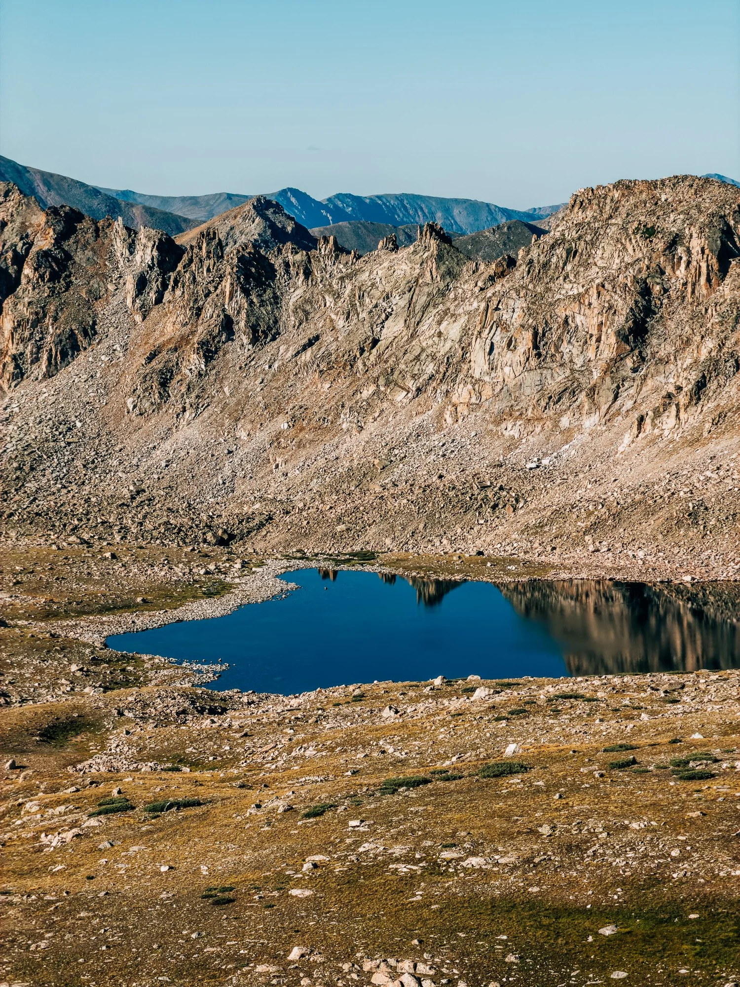
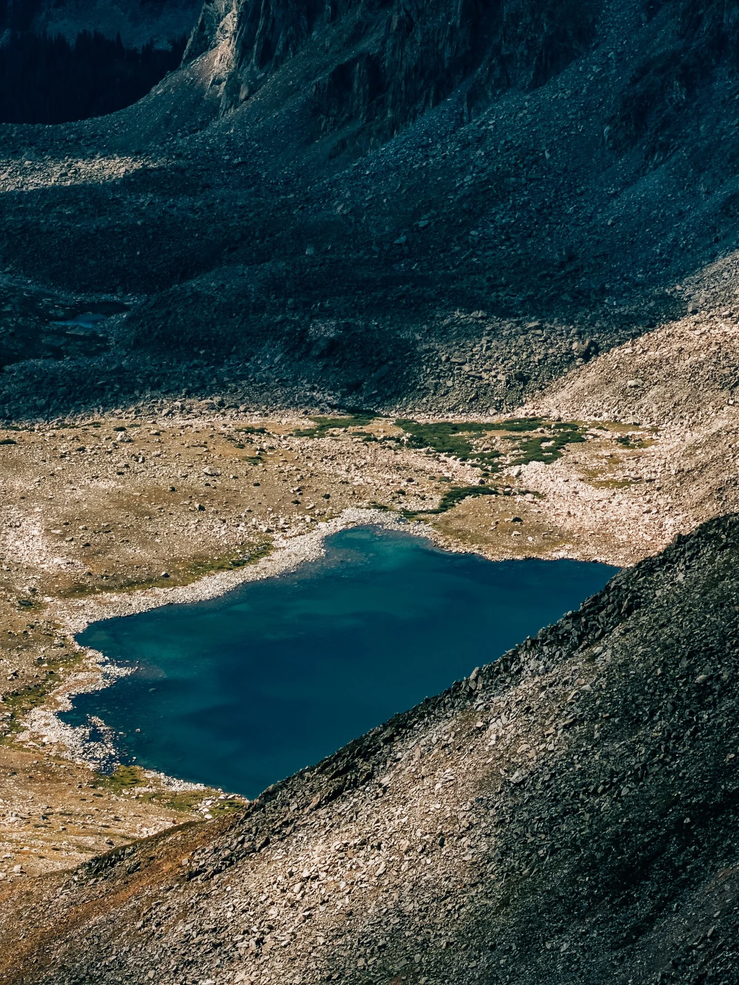
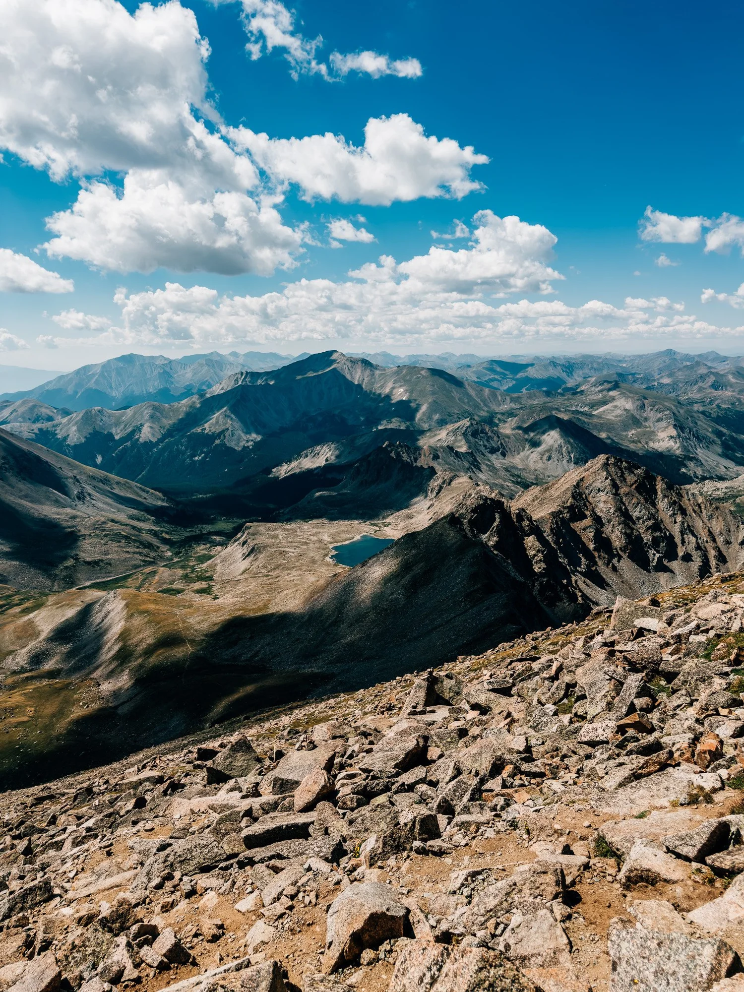
The meadow turns into a boulder field, and this is where the hard part starts. There isn't really any scree on this hike, but you're working your way over fairly large boulders on a fairly steep slope. This is also where I knew for sure that Columbia wasn't happening today. A few minutes up, looking back, you can see the meadows you just came through and Bear Lake sitting below.
Still Climbing
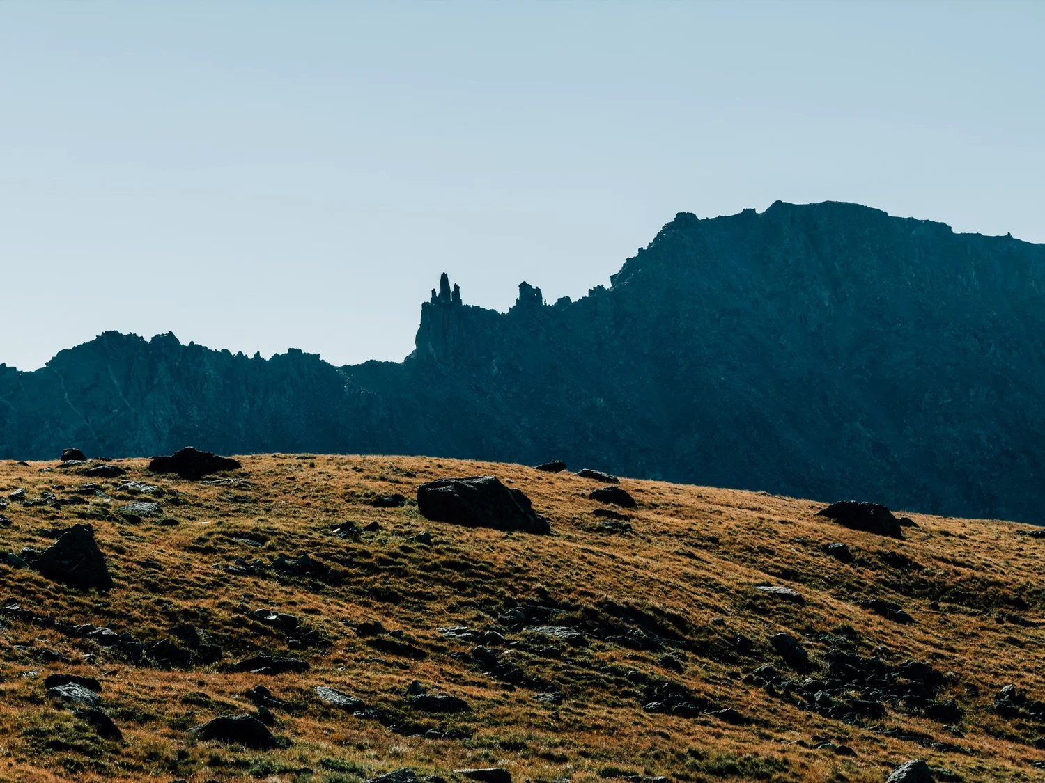
Still going up the boulder field, and the summit just would not get any closer.
Almost There
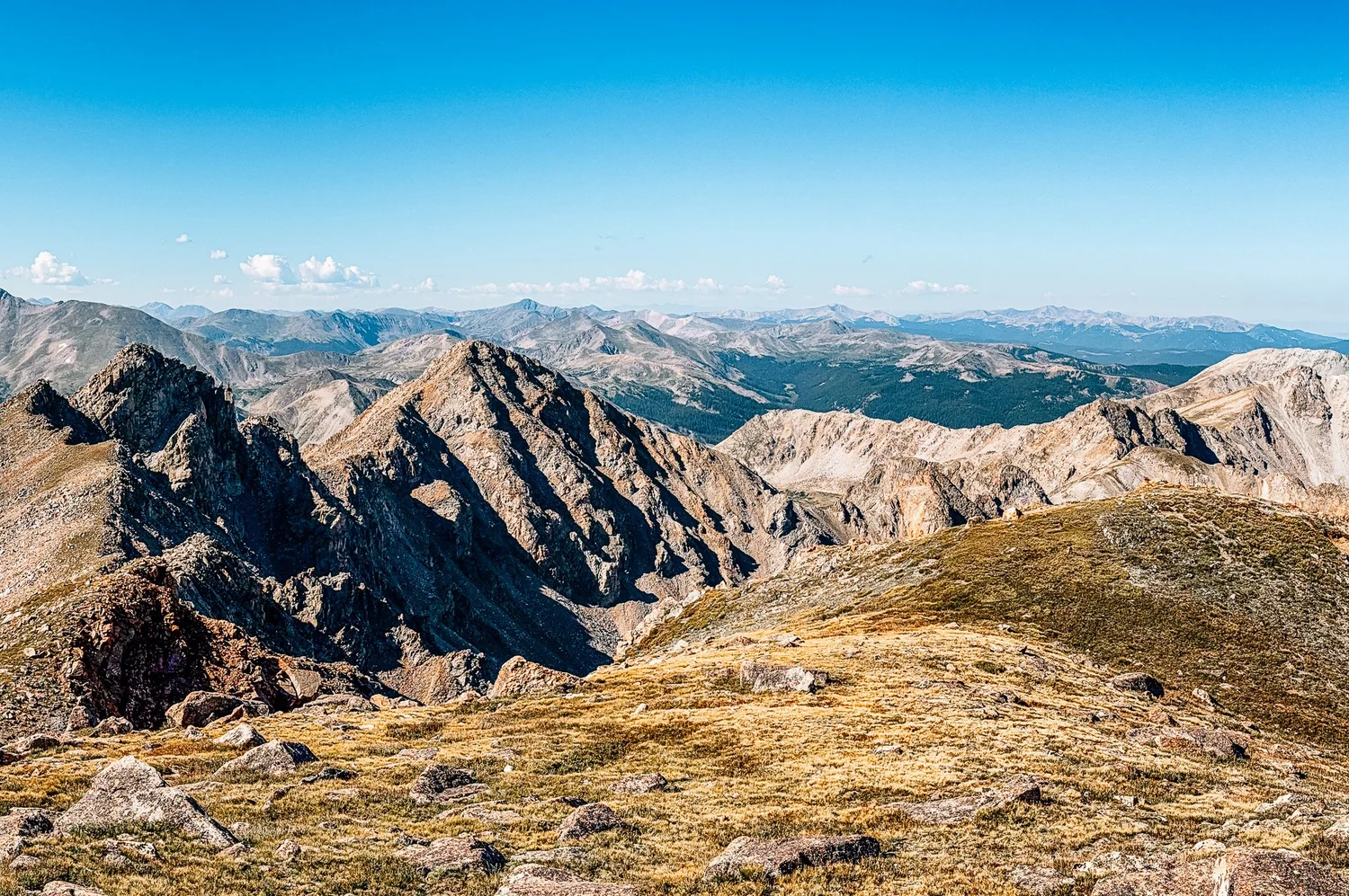
I finally felt close to the top. I looked back at how much elevation I'd gained, and it was pretty impressive.
Mount Harvard Summit — 14,420 ft
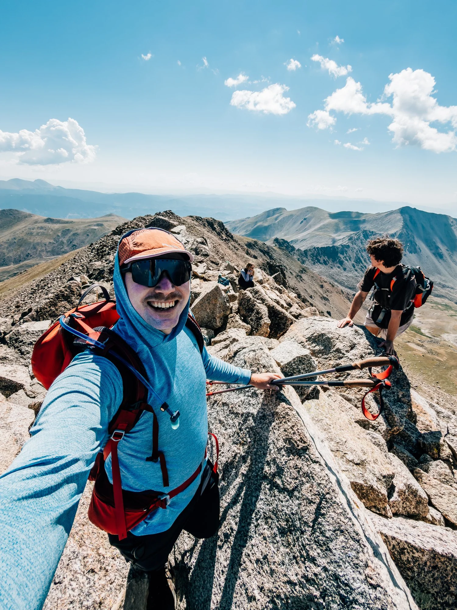
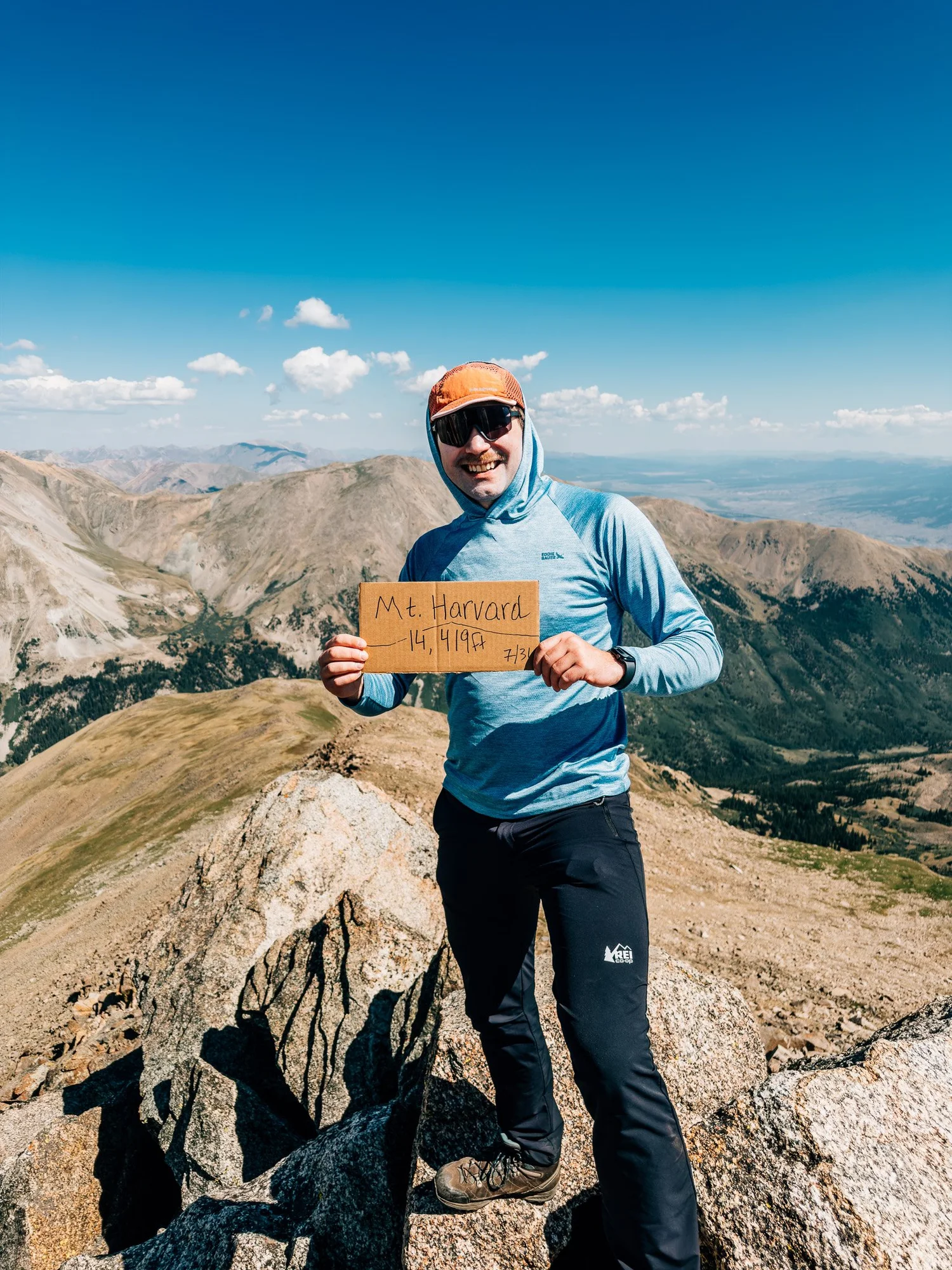
Reached the summit at 10:30. Of all the 14ers I've done, Harvard probably has the smallest summit. There's no flat spot to stand on, just a pile of giant boulders you can sort of balance on for a photo before heading back down. I took some photos, then started down.
Back at the Trailhead
Back at the car by 1:30 p.m., about eight hours and ten minutes after I started. Exhausted, feet throbbing, and definitely grateful I only did one 14er.
Route Guide
What you'll find along the way
- High Point
- 14,420′
- Mount Harvard
- Class
- 2
- Format
- Out & back
- 13.2 mi round trip
-
01
A Well-Built Approach
A gradual, well-maintained forest trail with stone steps, likely Colorado Fourteeners Initiative work.
-
02
Horn Fork Basin
Wide-open alpine meadows with Columbia on your right, Harvard straight ahead, and Bear Lake below.
-
03
The Boulder Field
A steep final mile over big boulders. No scree, but slow going, and the summit never seems to get closer.
-
04
A Tiny Summit, Huge Views
A perch of giant boulders with no flat ground, and 360° views of the Collegiate Peaks.
- Access
- North Cottonwood TH. Rough 2WD. 4WD recommended in wet conditions.
Recorded with Strava
Full route on Strava (opens in new tab)Gallery
Until the next ridge,
Anton

what are you planning?
Disclaimer
Everything you find here, whether it's a hiking guide or a trail story, is meant for inspiration, not instruction. I'm not a guide, and I'm not responsible for what happens if you decide to follow a wrong turn or take on more trail than you're ready for.
The outdoors can be unpredictable, so always use your own judgment, check official resources, and know your limits. By using this site, you agree it's all at your own risk. Take what inspires you, leave what doesn't, and go make it your own adventure.
Enjoyed the trip report? Pass it along to a hiking partner.