Missouri Mountain – Trail Guide & Trip Report (Sawatch Range, Colorado)
Trail Notes
Missouri Mountain
Collegiate Peaks, Colorado · 39.00°N 106.38°W
- Dist
- 10.5 mi
- Gain
- 4,500′
- Time
- 6:17
The Route
Route guide- Missouri Gulch Trailhead
- Missouri Gulch
- Northwest Ridge
- Missouri Mountain
The Trail
Two fourteeners was the goal for my summer in Colorado, and I'd already done them, so Missouri was extra credit. I started at 10:30 on purpose, and spent the morning watching the trees for a mountain lion that never showed up.
When I came out to Colorado for the summer, the goal was simple: hike at least two 14ers. I got Holy Cross and Harvard done, so I wasn't planning on another one, and I definitely didn't want a huge day. Missouri was a short-notice pick.
The catch was the mountain lions. For a couple of years people have been reporting cougar sightings around the Missouri Gulch trailhead, and I'd heard there might even be a den nearby. Everyone seems to have met “the kitty.” So no 4 a.m. headlamp start for me. I got there around 10 on a Sunday, passed people who were already finished, and had my pick of parking.

FROM THE TRAIL JOURNAL
Field Notes
Most of Missouri is friendly. The switchbacks in the trees are beautifully built, and the upper basin is a long, easy walk. The work is packed into one short, steep scree pitch up to the 13,700′ saddle, about 600 feet in under half a mile, followed by a ridge walk with one awkward spot.
Here's the honest part. A 10:30 start puts you on the ridge in the early afternoon, and the usual advice is to be off the summit by noon. I broke that rule and I knew it. The clouds were building the whole way across the ridge, and I hurried down ahead of the rain. I got away with it this time, so start earlier than I did.
Not a single lion, for the record.
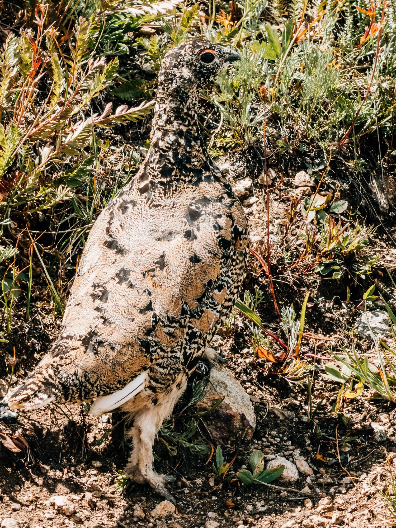
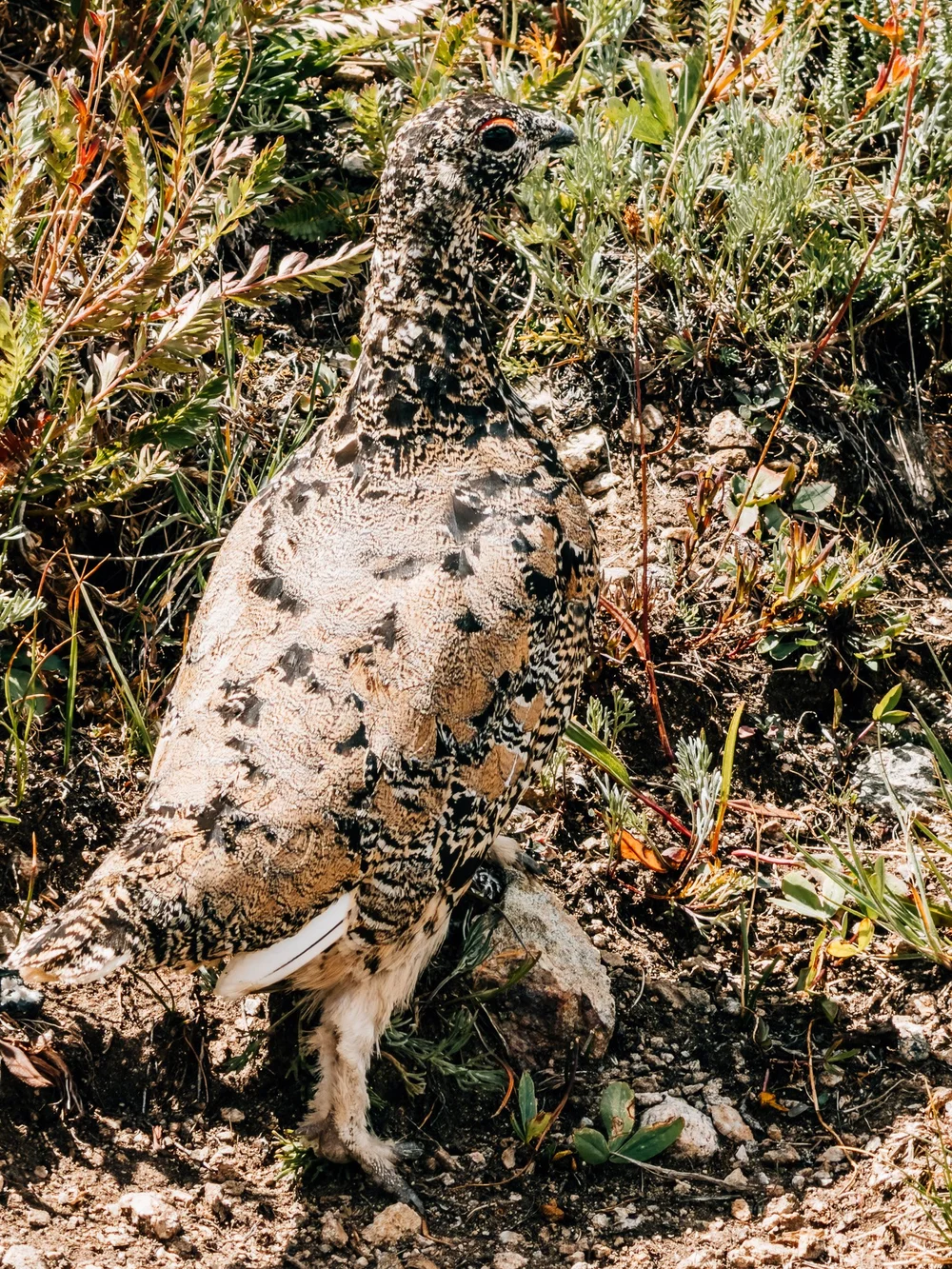
The only wildlife that checked on me was a ptarmigan.
— Anton
Trail Diary
Missouri Gulch Trailhead
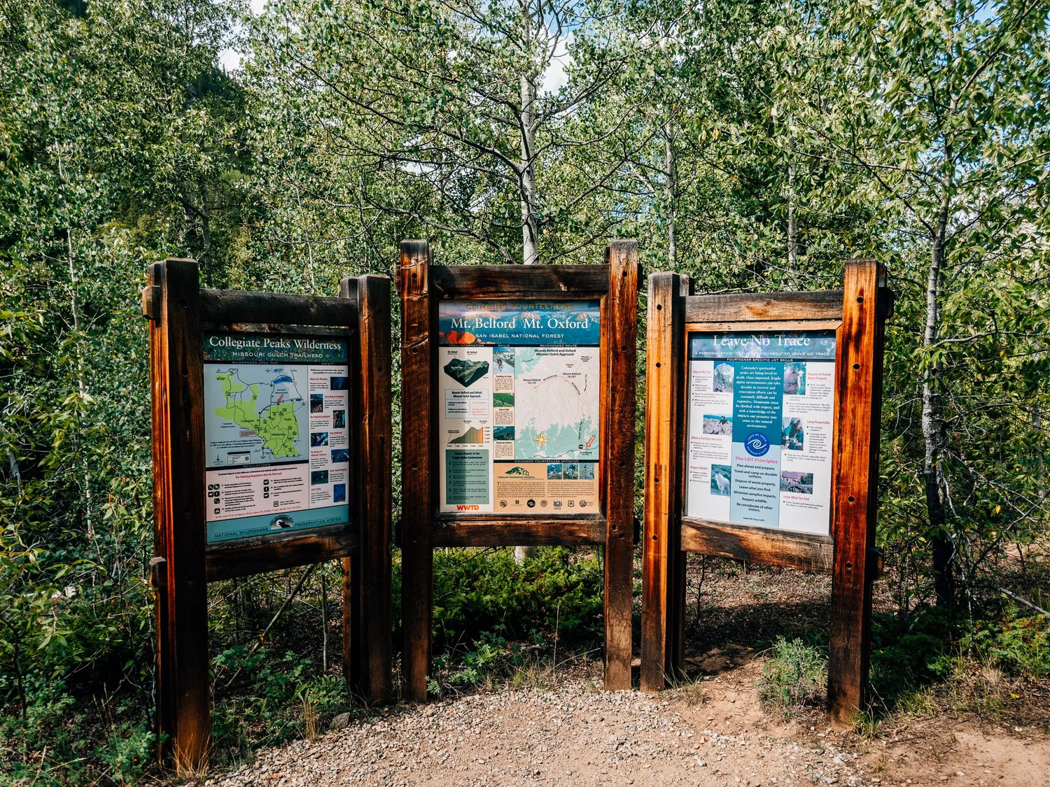
The lot is off County Road 390 (Clear Creek Road), across from the old Vicksburg townsite, and at 10 on a Sunday there was plenty of room. A few groups were already heading home. Three boards at the start cover the wilderness map, Belford and Oxford, and Leave No Trace. I started at 10:28, and the Clear Creek footbridge showed up within a couple of minutes.
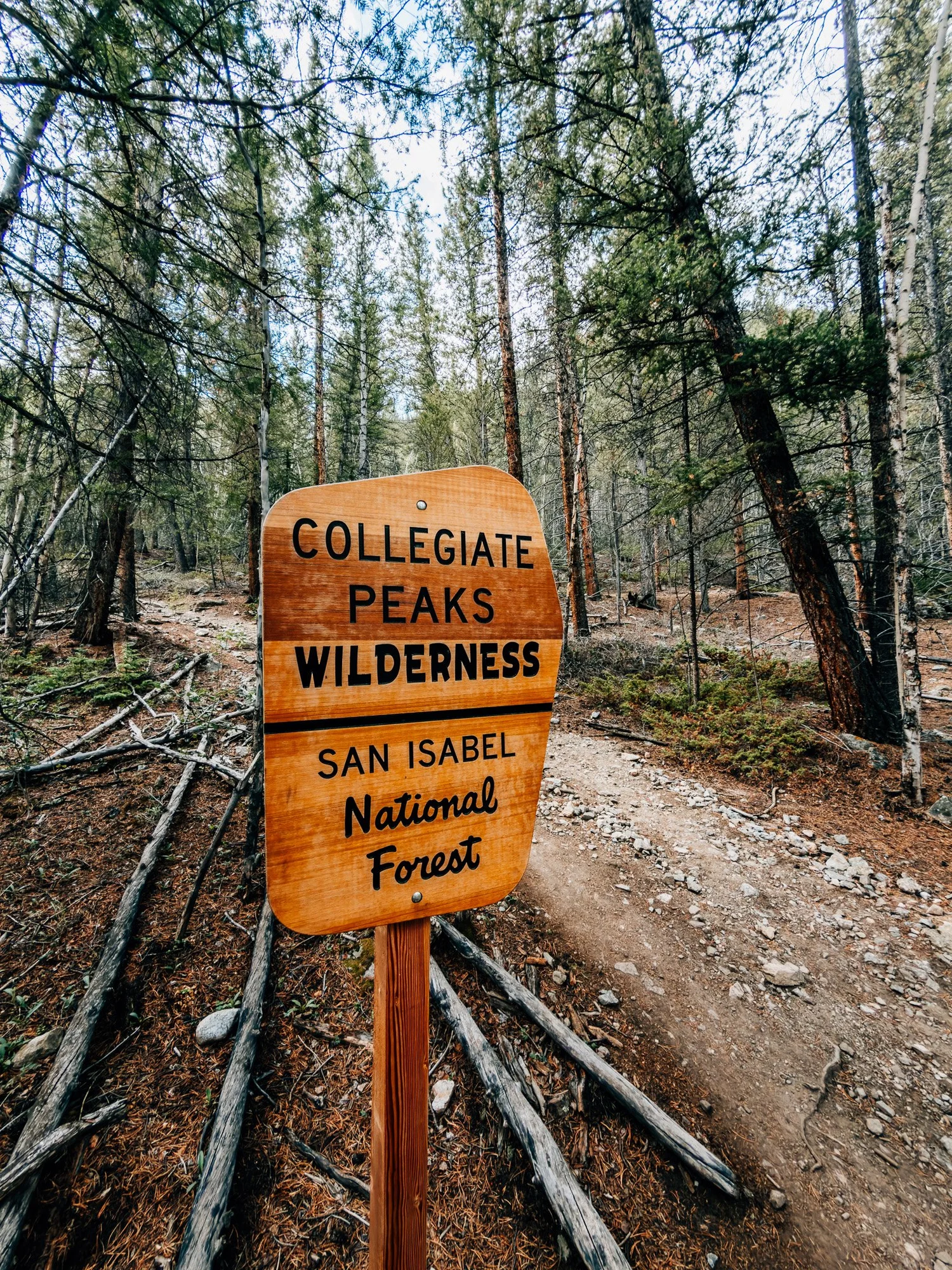
Collegiate Peaks Wilderness
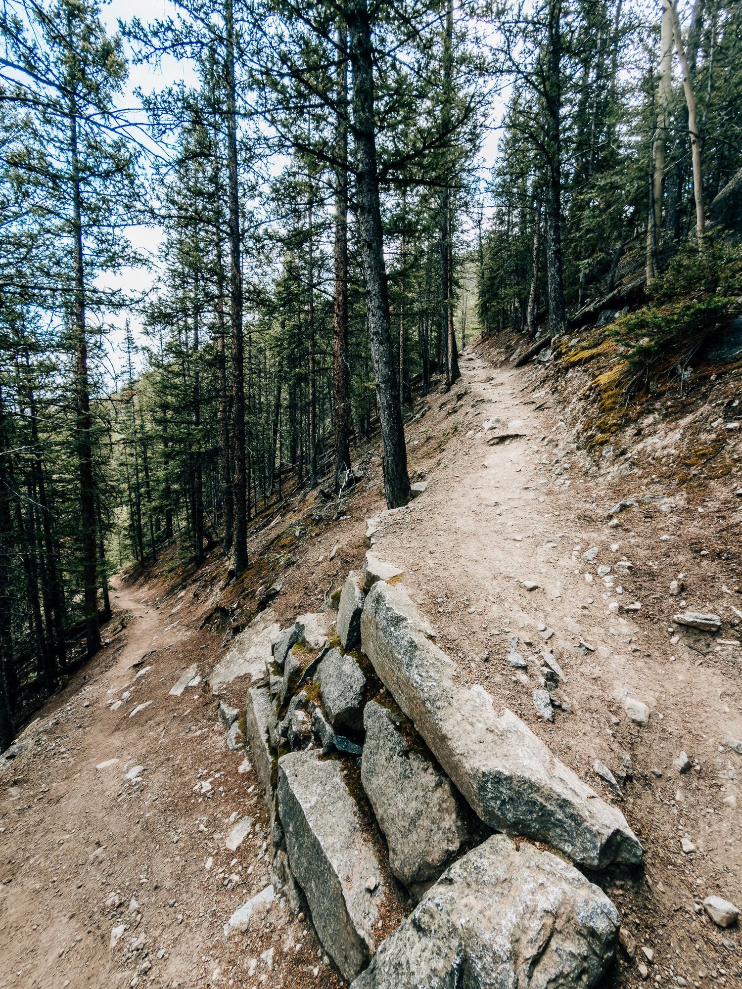
I was inside the wilderness boundary five minutes later. The trail starts climbing right away, but the switchbacks are beautifully built, with rock retaining walls. You could trail run it.
This is also where the lion paranoia kicked in. Every rustle in the trees was a mountain lion for about half a second. It was squirrels, almost certainly, but they got me a couple of times.
Into Missouri Gulch
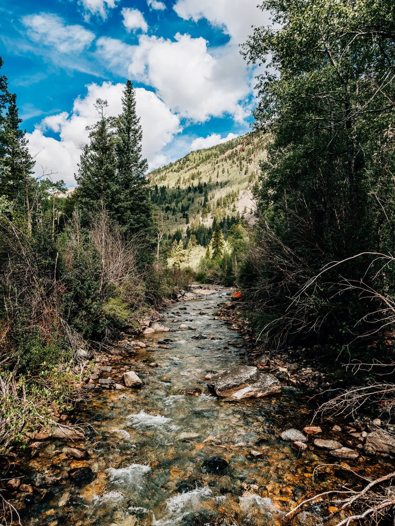
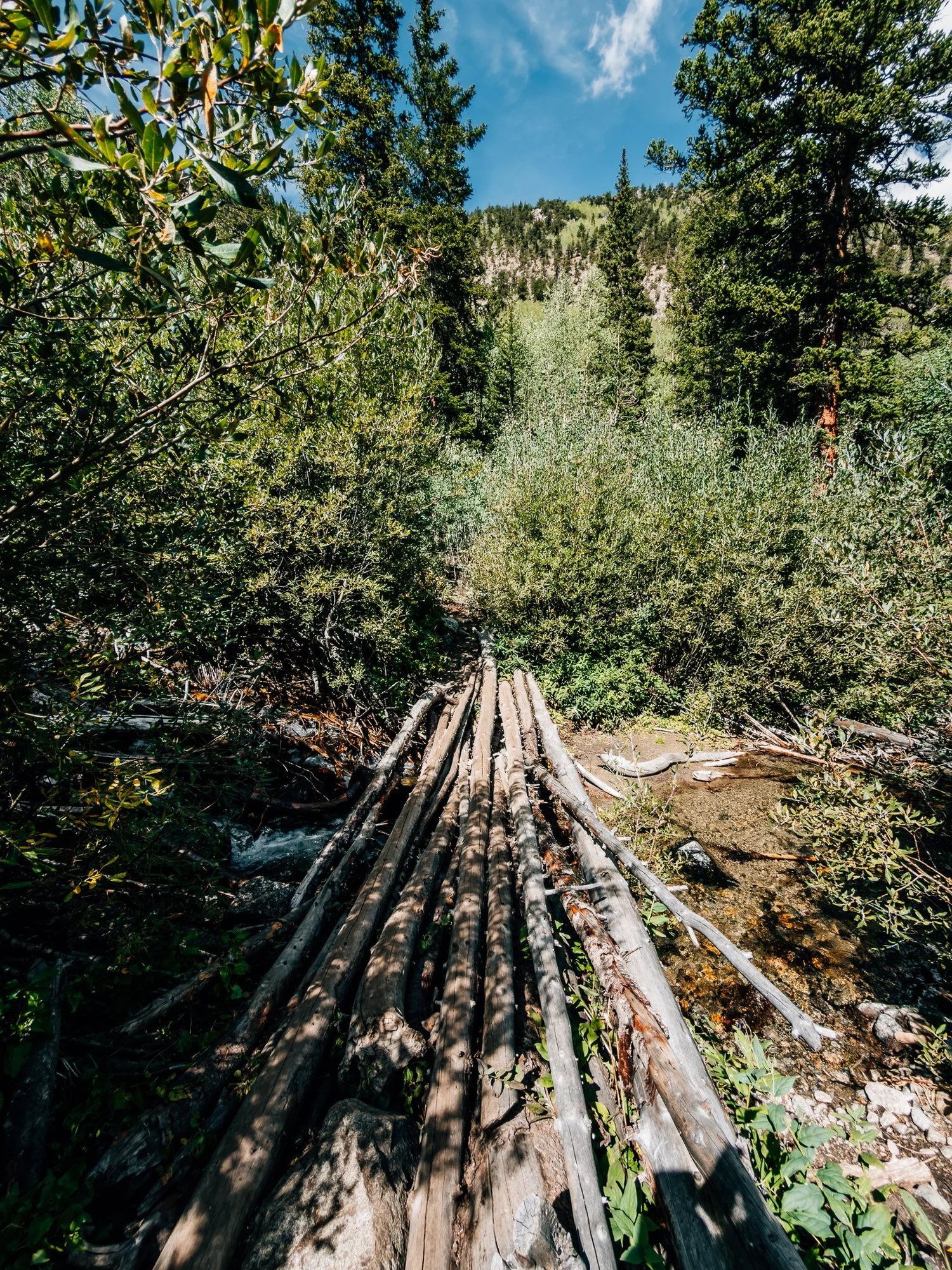
Around 11:06 the trail gets brushy and starts working along the creek, crossing back and forth on rocks and logs, including one bridge made of bundled logs. Then the trees thin out and open into the first clearing.
Above Treeline
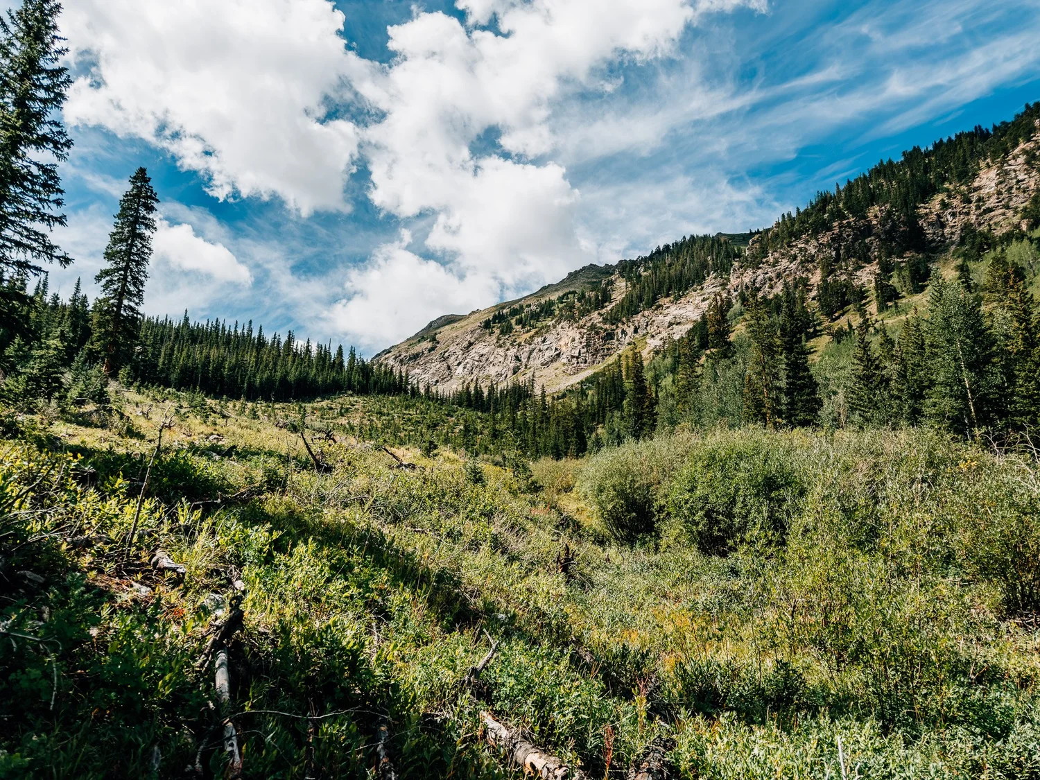
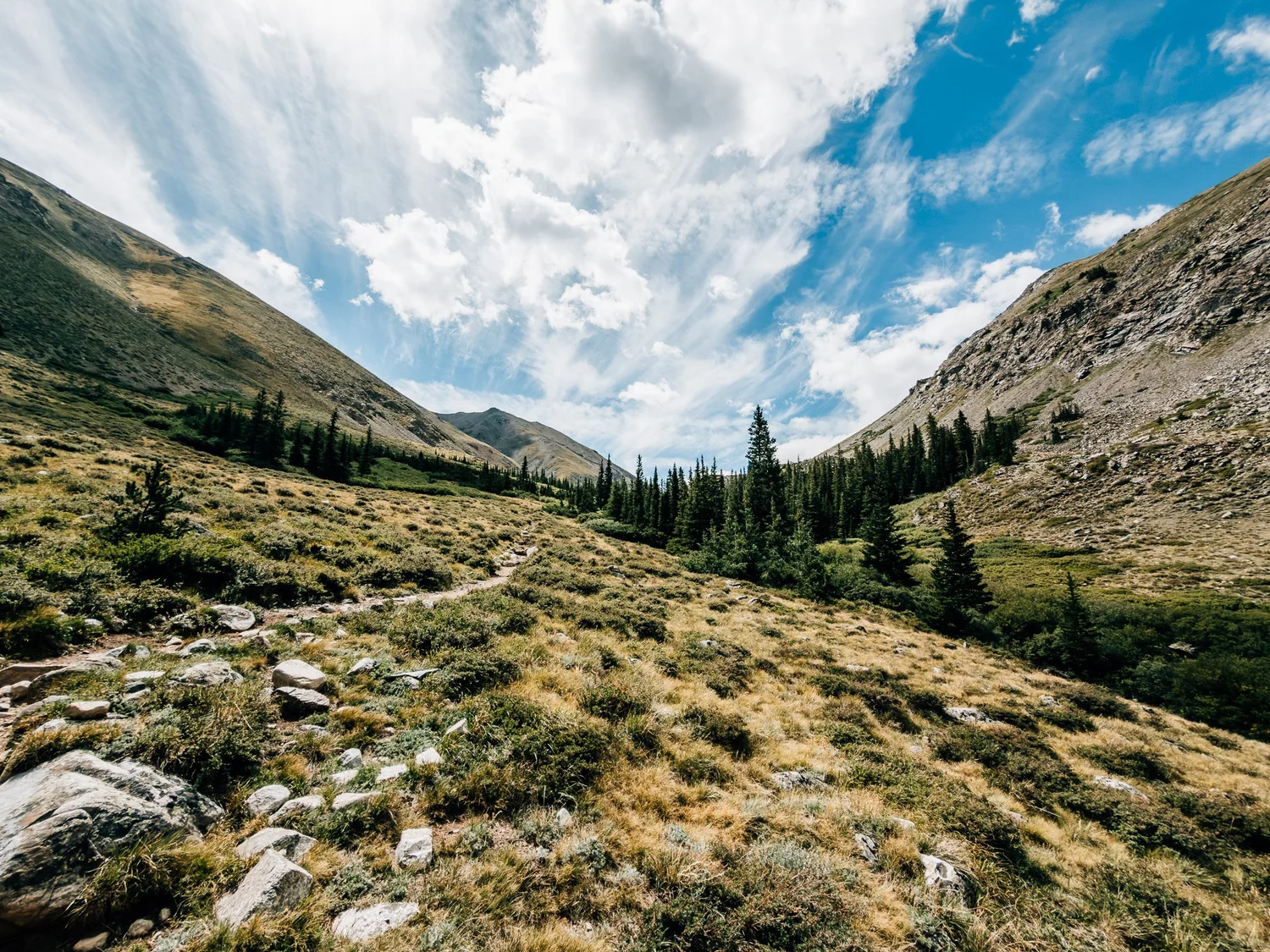
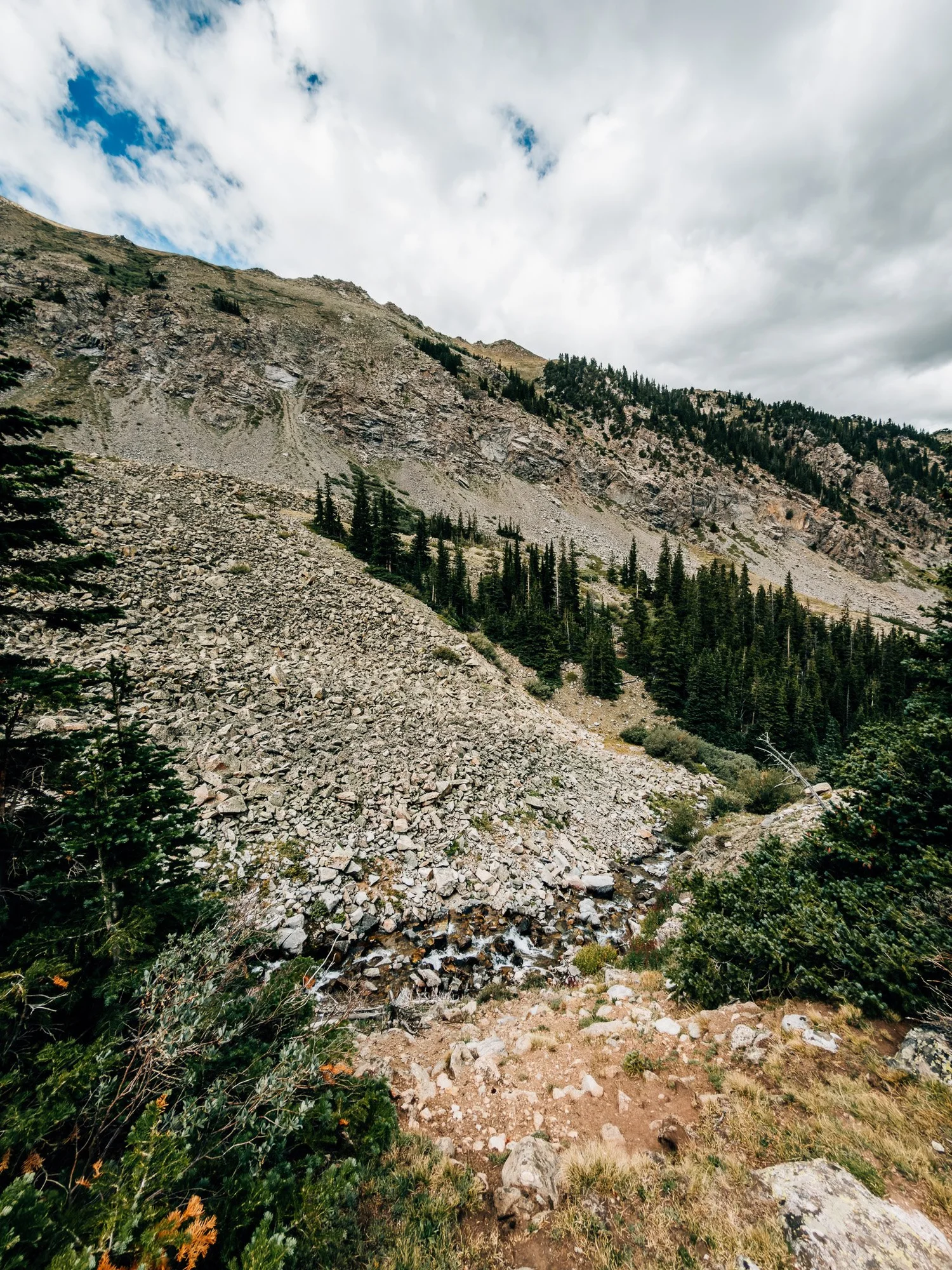
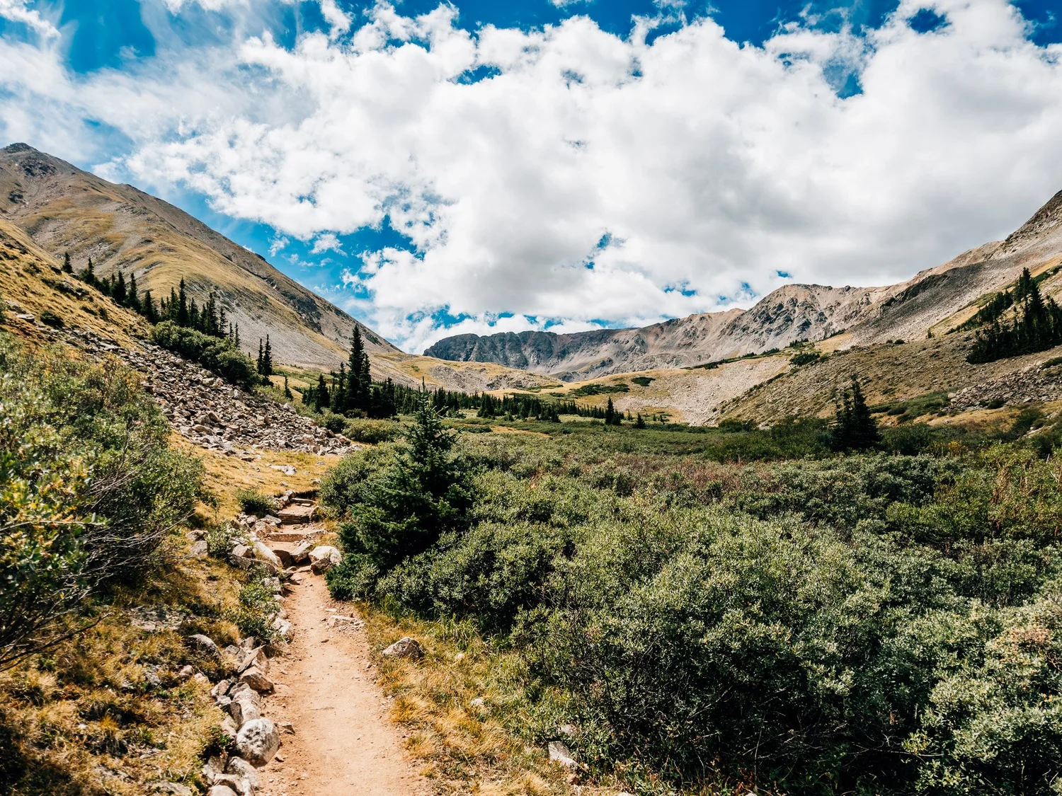
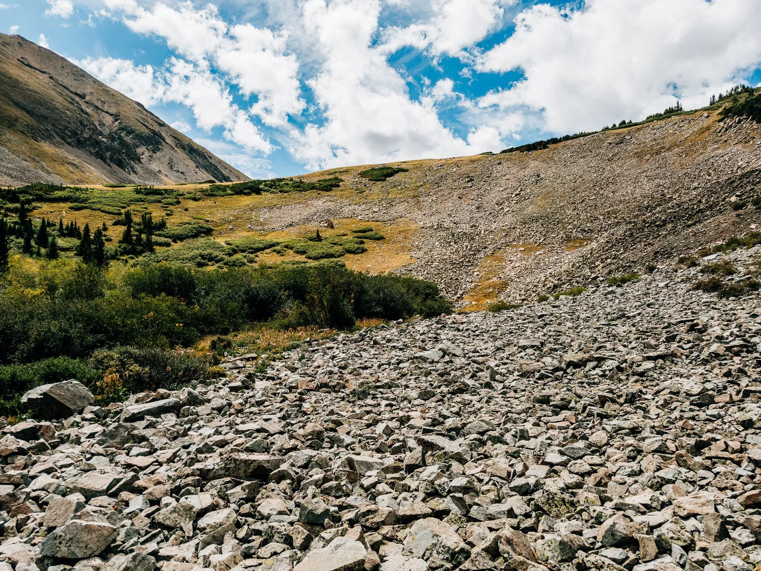
By 11:22 I was out of the trees and the gulch opened into a big panorama. A huge rockslide spills down to the creek, and at 11:32 I got my first look at the summit, way back at the head of the valley.
This stretch is also where the Forest Service approved a reroute in 2024, after an avalanche and a landslide, so it may look different by the time you get there.
The Belford Junction
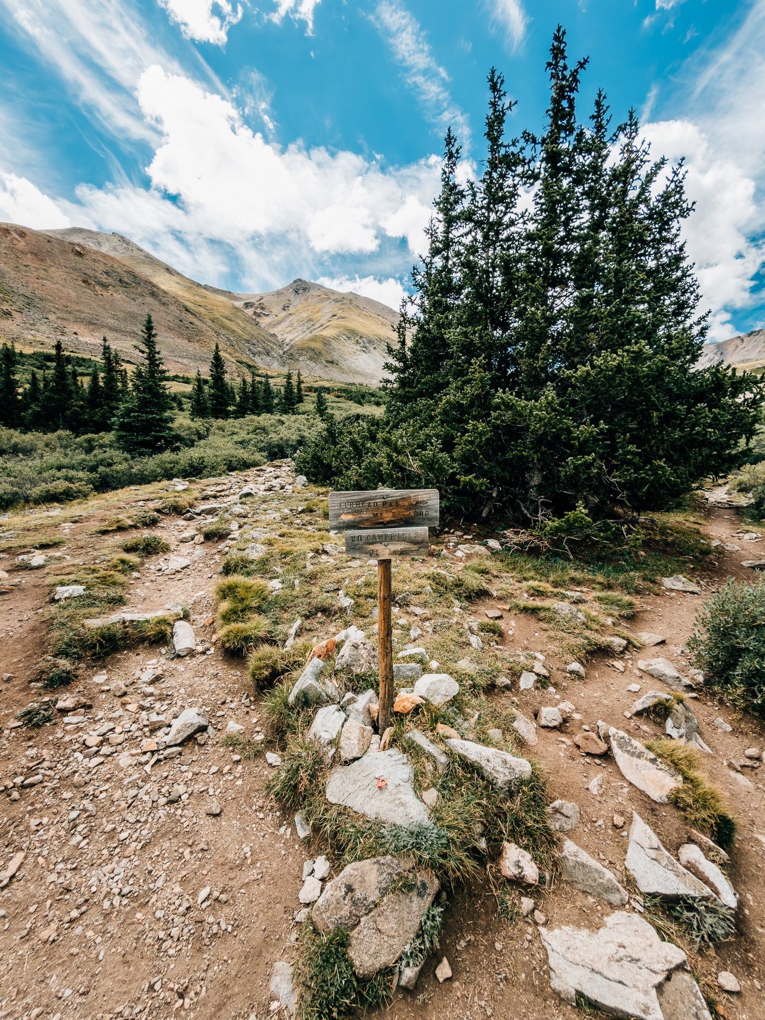
At 11:36 there's a signed junction at about 11,600′. Belford goes left, and you stay right for Missouri Gulch and Elkhead Pass. Just past it I skirted the edge of a small scree field.
The Upper Basin
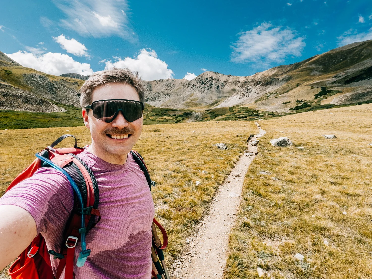
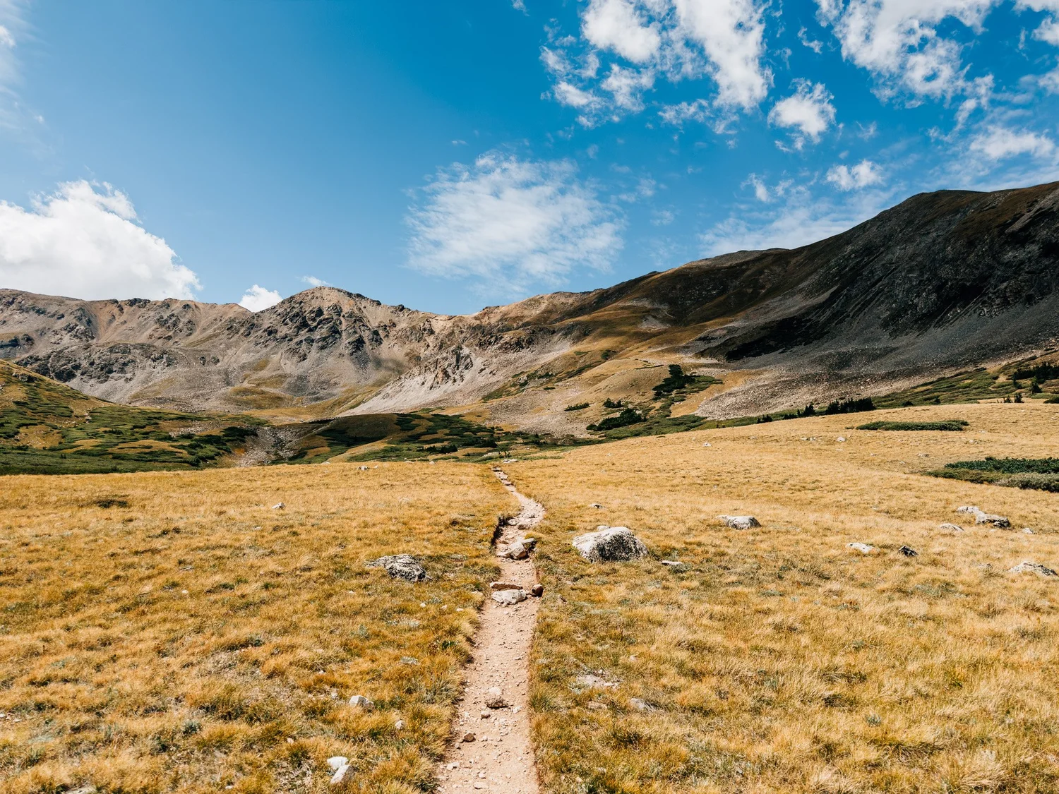
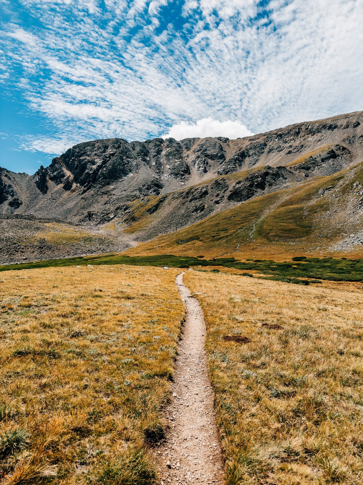
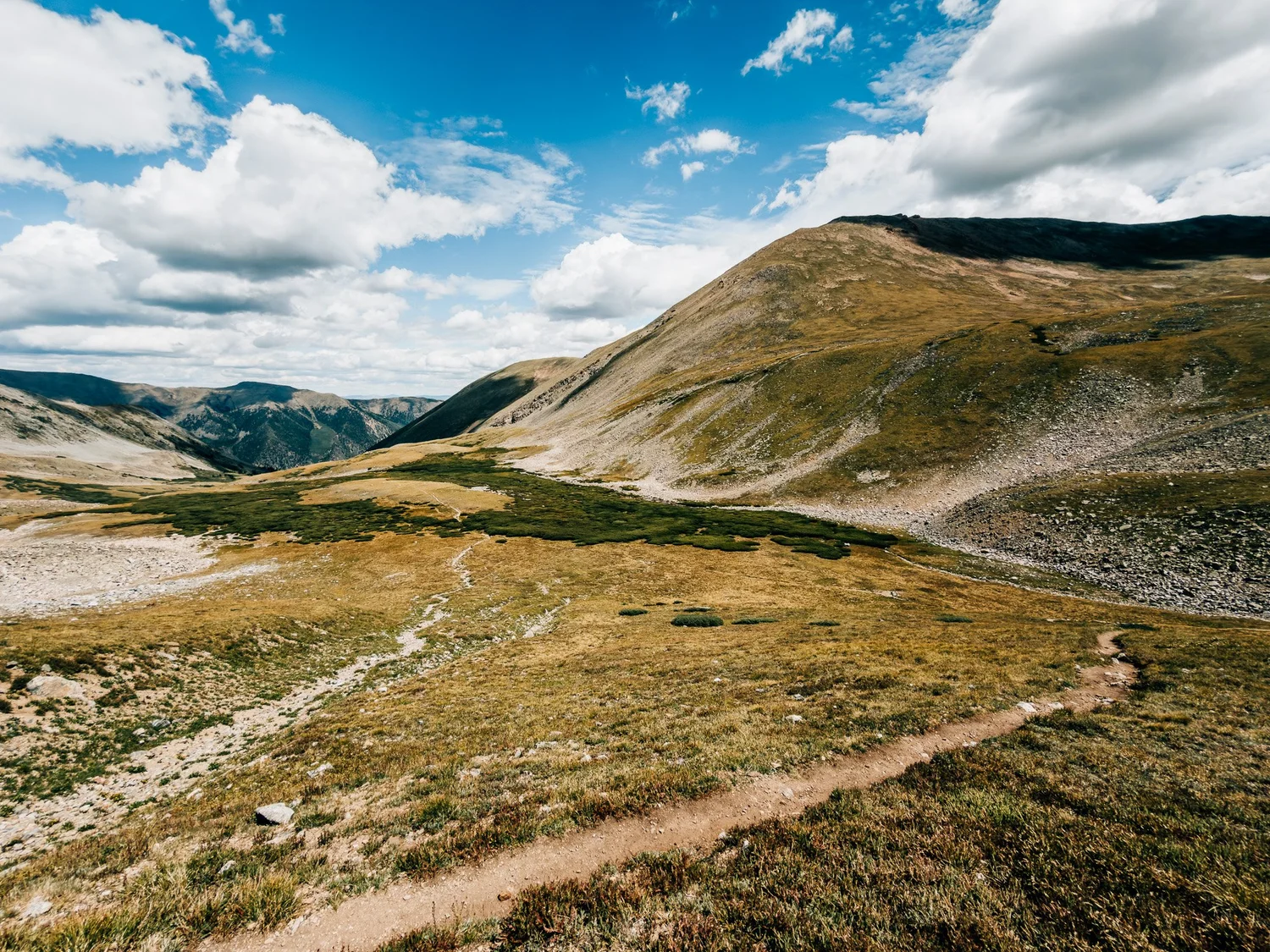
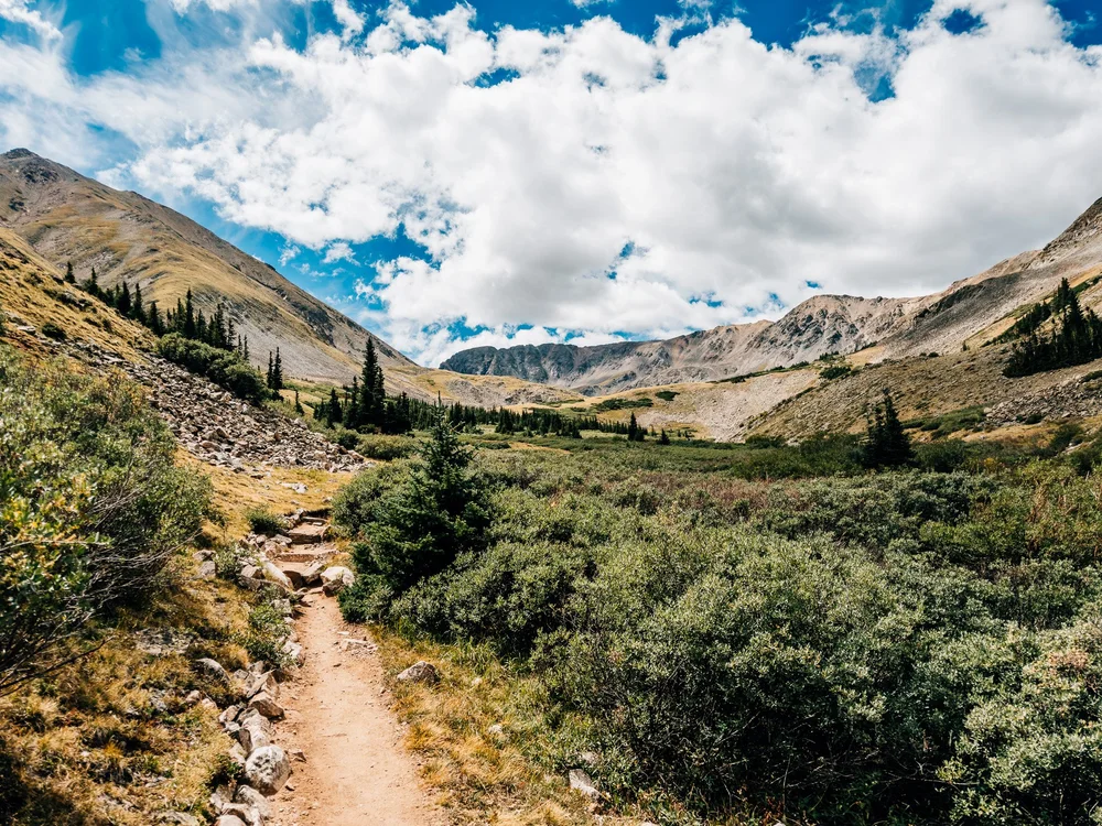
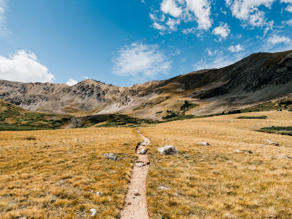
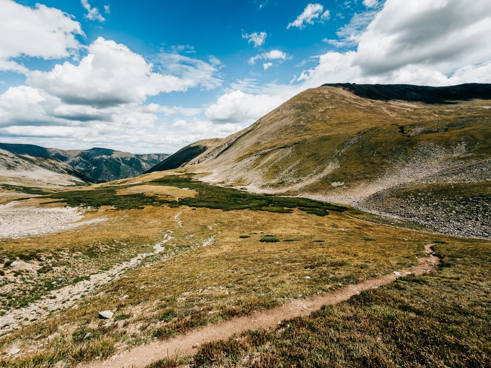
Over a small rise, everything flattens out into a wide-open golden basin with the summit still far off. This is easy, quick walking on a thin single track through the grass, and honestly my favorite stretch of the climb up.
A Curious Ptarmigan
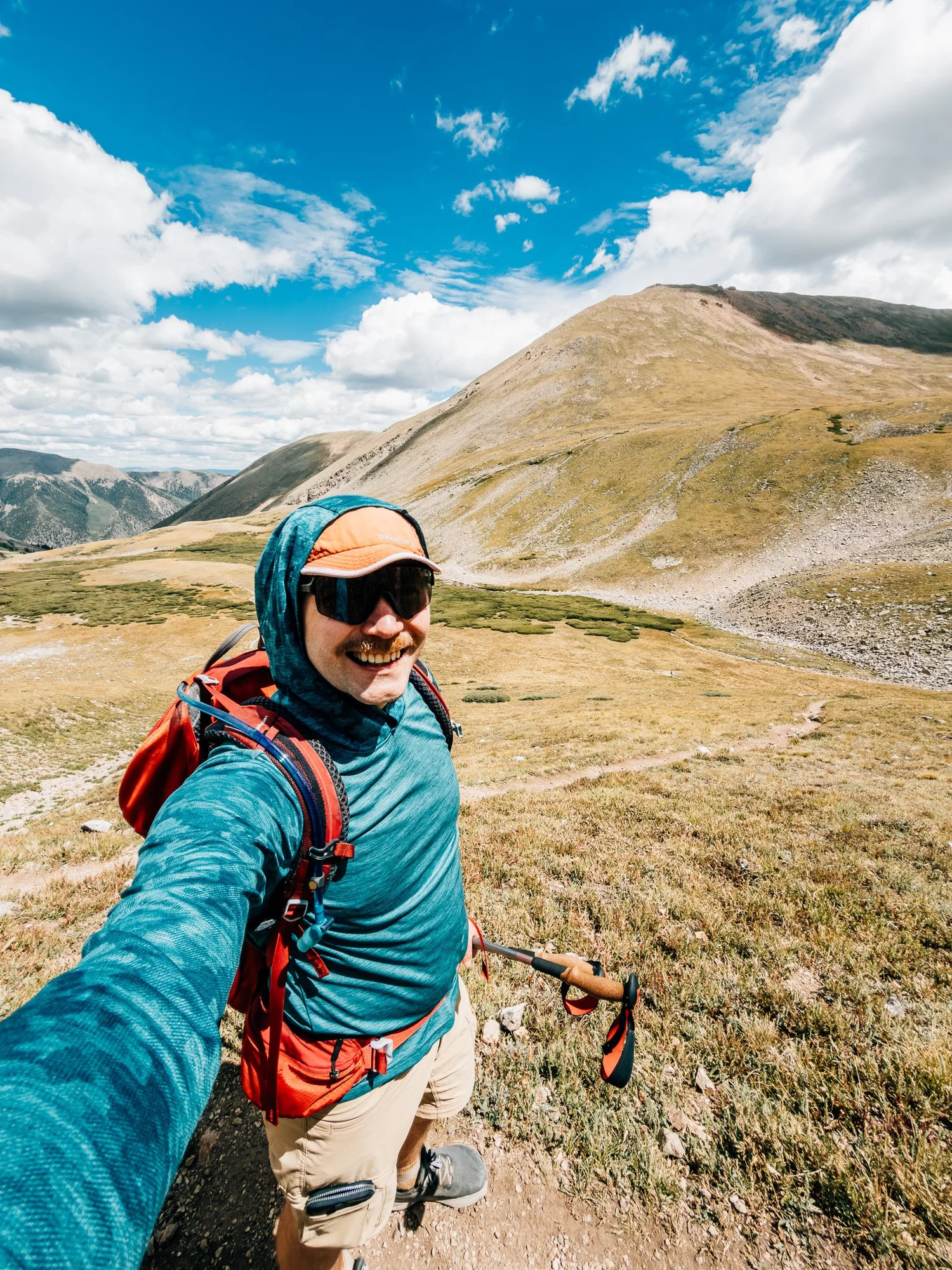
At about 12,700′ a ptarmigan was standing on the hillside. It was oblivious at first, then curious. They wear mottled summer plumage and would rather freeze than run, which is a pretty good plan until a guy with a camera shows up. I took a selfie, looked up at the rocky slopes ahead, and looked back down the basin. Still easy. The steep part was coming.
The Steep Part
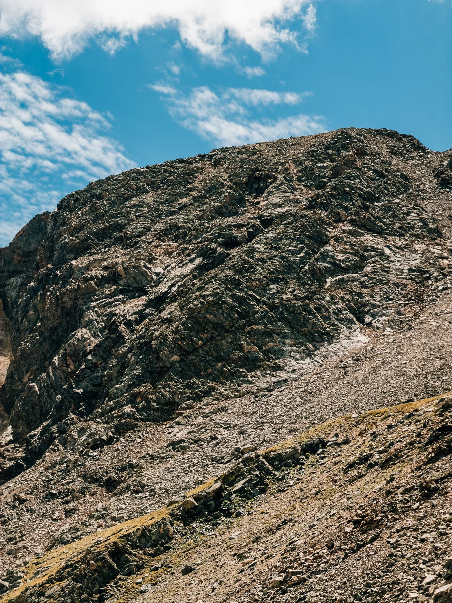
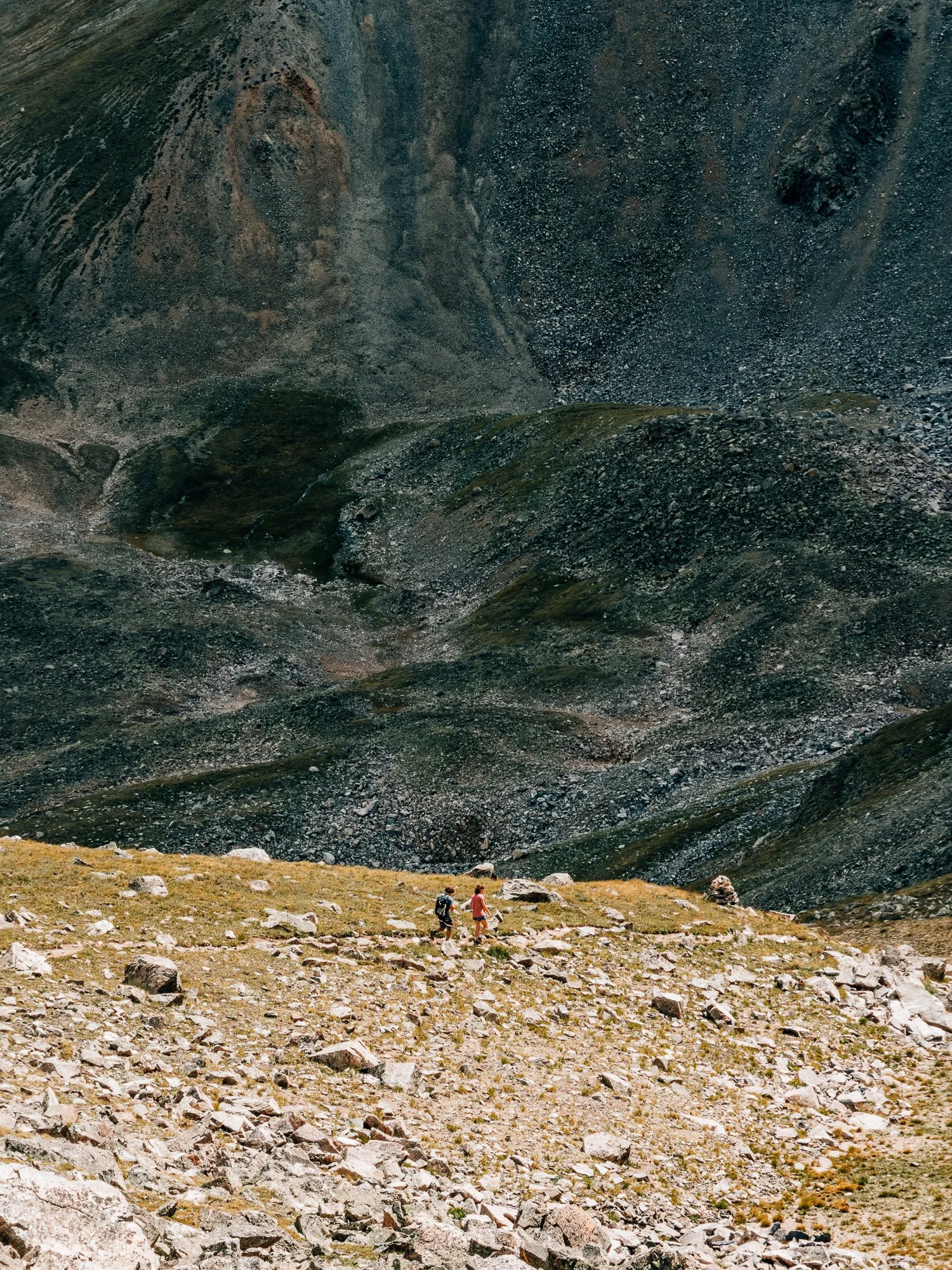
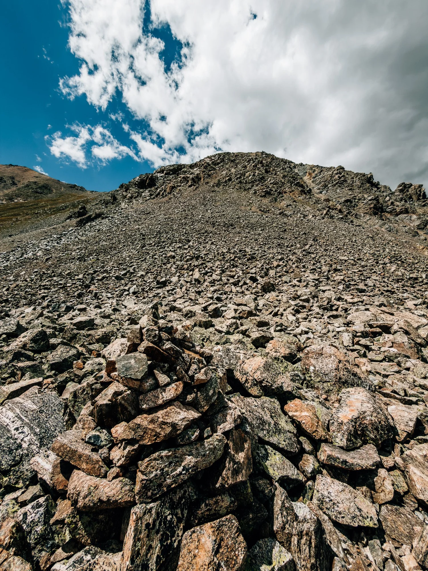
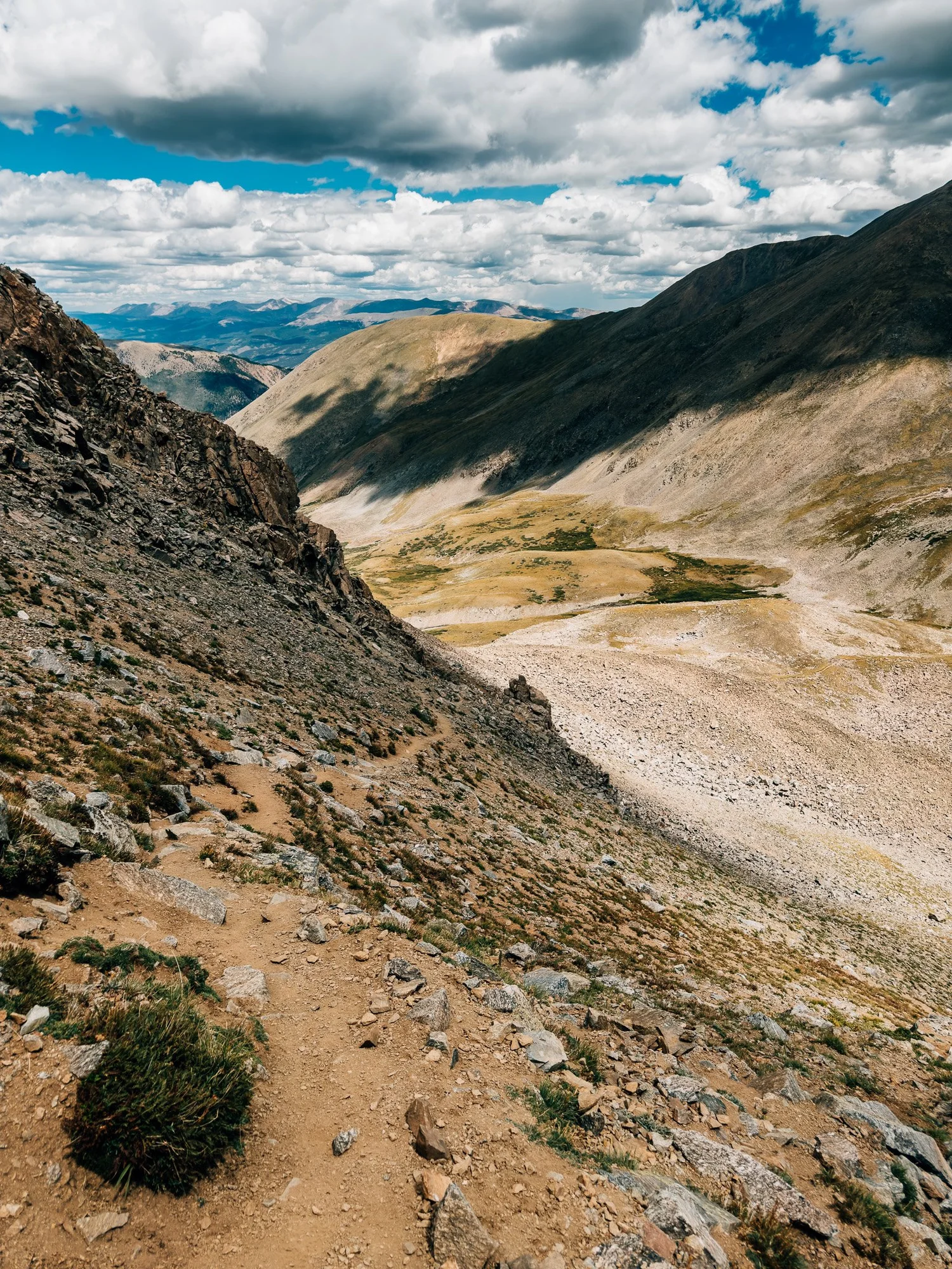
This was my crux, and it's short: big rocks and loose scree straight up to the saddle, about 600 feet in under half a mile. At 12:42 I watched two hikers coming down it, which gave me a good look at the scale of the thing. I took a snack break partway up, and at 1:09 I turned around to look back down the steep section. It's a lot of work, but it's over quickly.
The Saddle
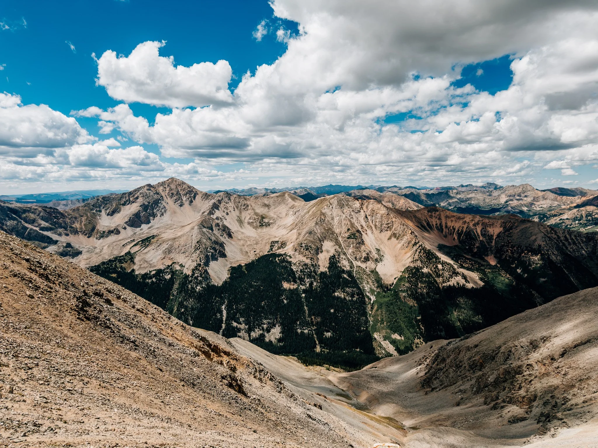
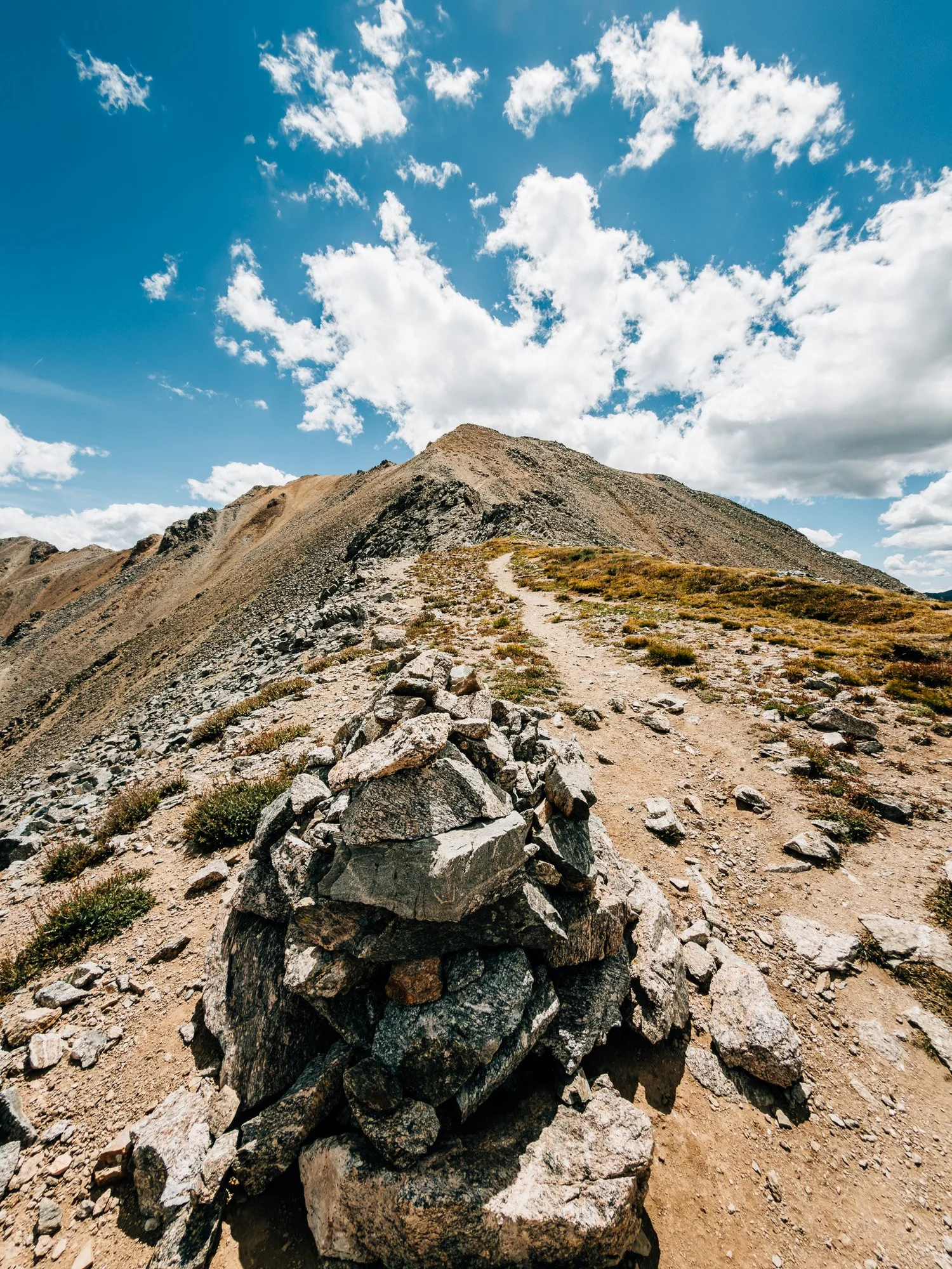
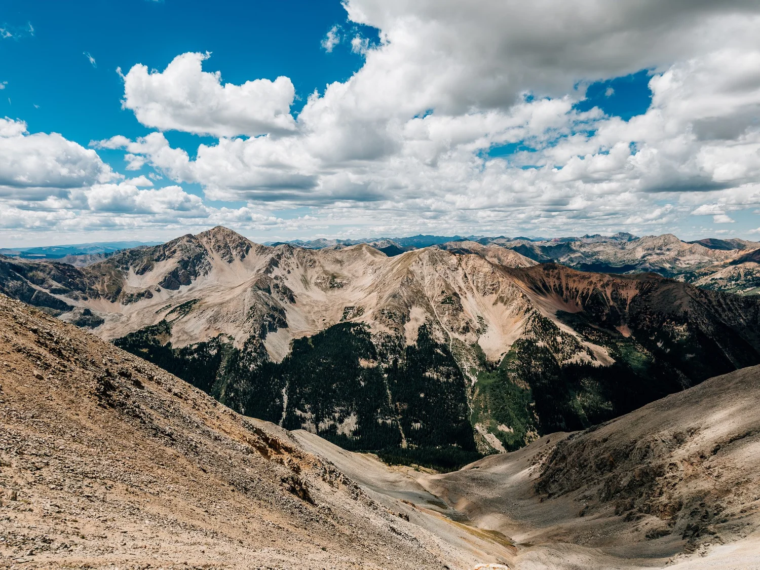
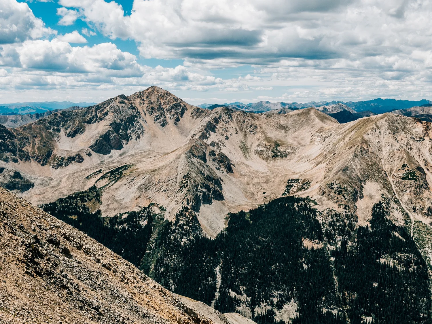
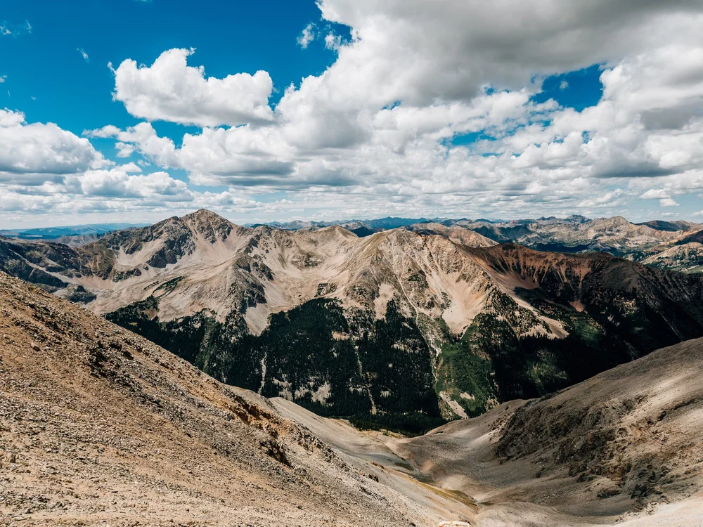
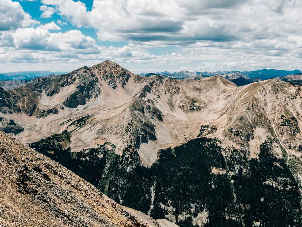
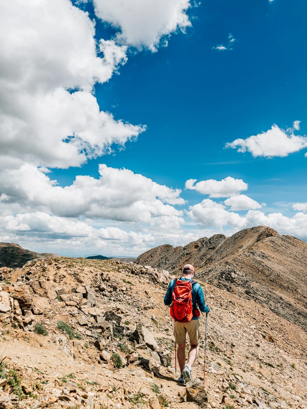
I topped out at 1:31 by a big cairn at about 13,700′, and “easier from here” turned out to be true. The summit is off to the south-southeast, and the whole Collegiate range is laid out around you. Huron Peak, which I climbed a while back, is off to the west. These are some of my favorite views in all of Colorado.
Yes, 1:31 is well past noon, and the clouds were already building. If I could bring a couple anywhere for an Adventure Session, it'd be a spot like this. Just earlier in the day.
Along the Northwest Ridge
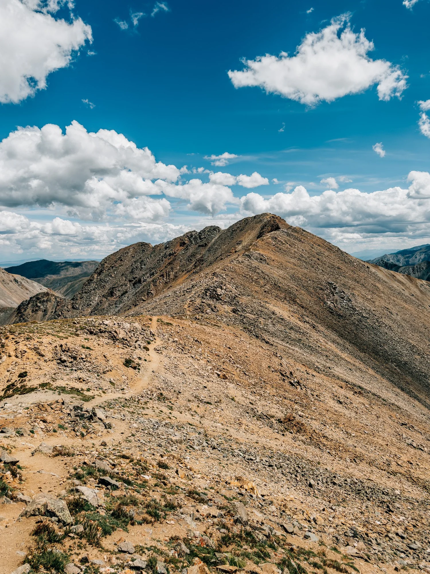
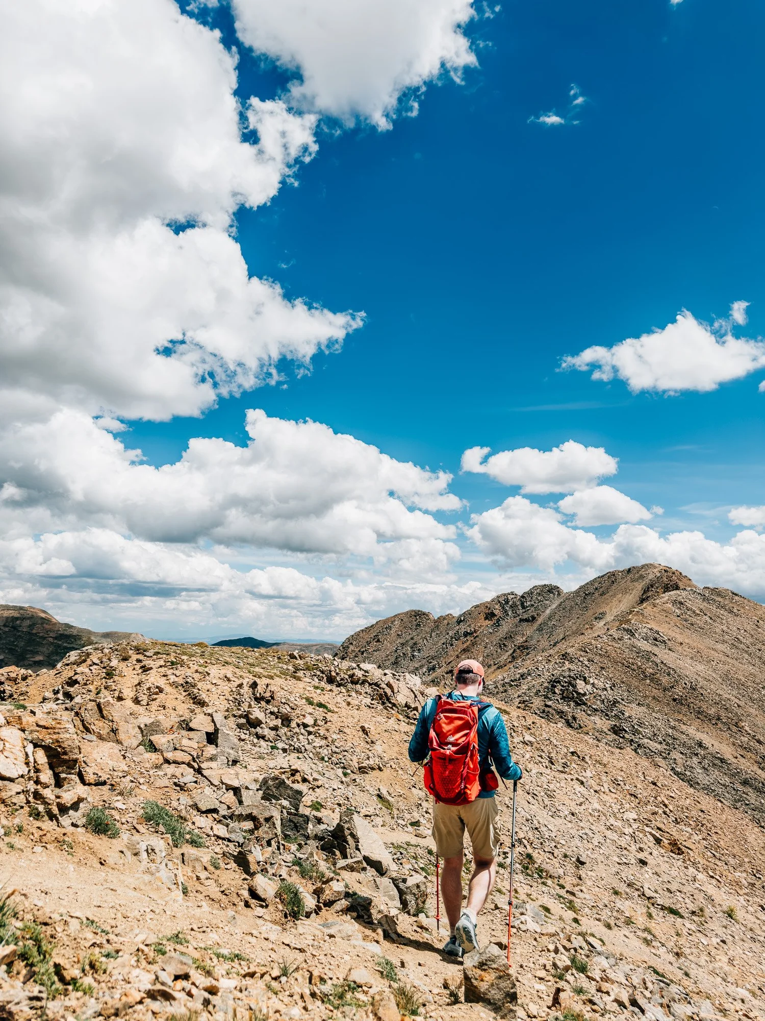
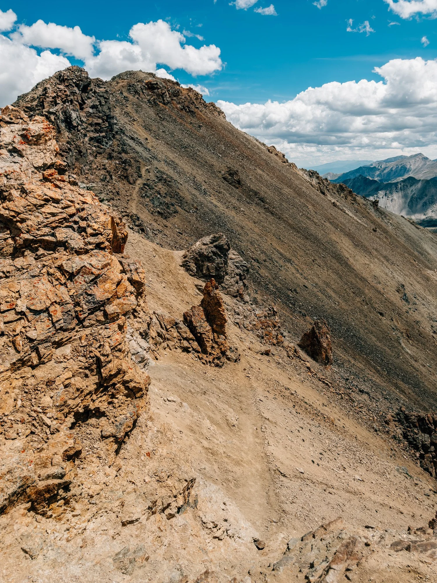
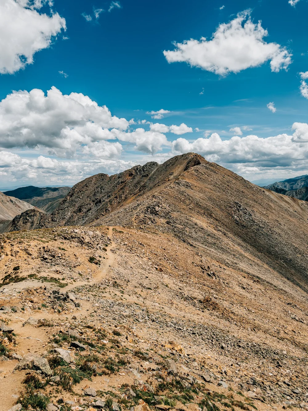
I really took my time up here. By 1:48 the pointed summit looked close, and the trail stays mostly on or just below the crest. Around 2:00 I was on a sandy traverse below some rock towers, hugging the side of the ridge with the top finally in sight.
Missouri Mountain Summit — 14,071 ft
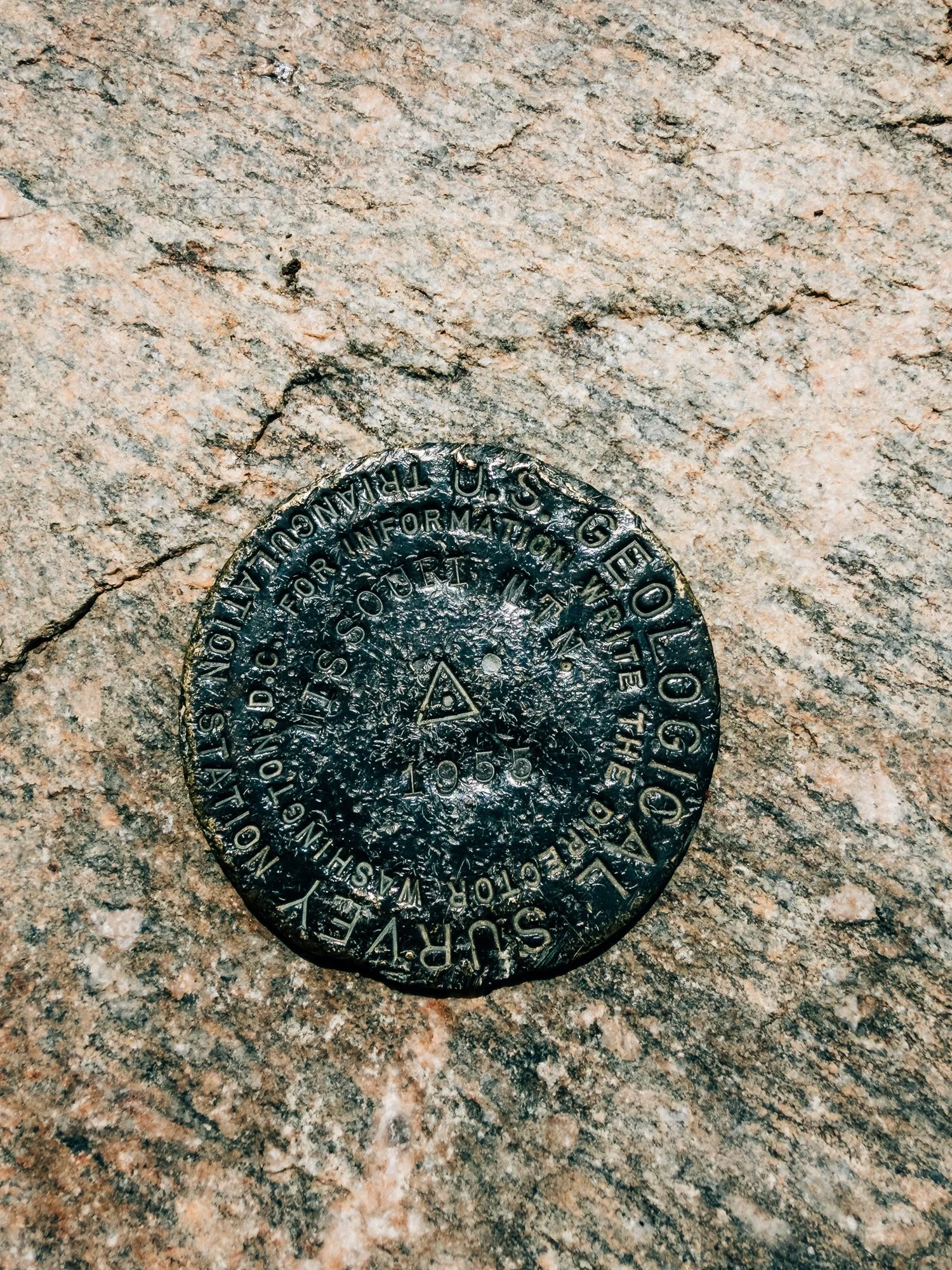
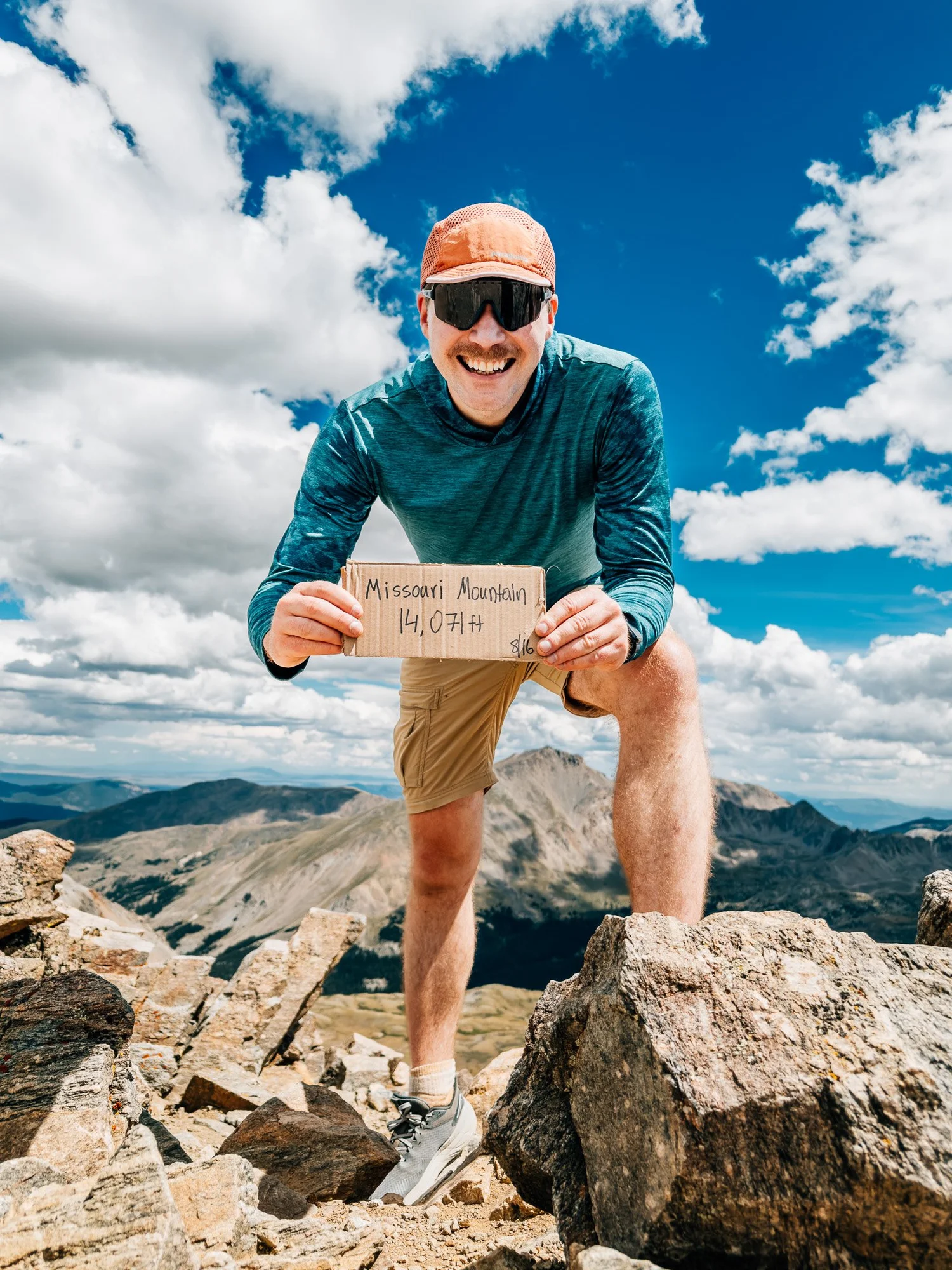
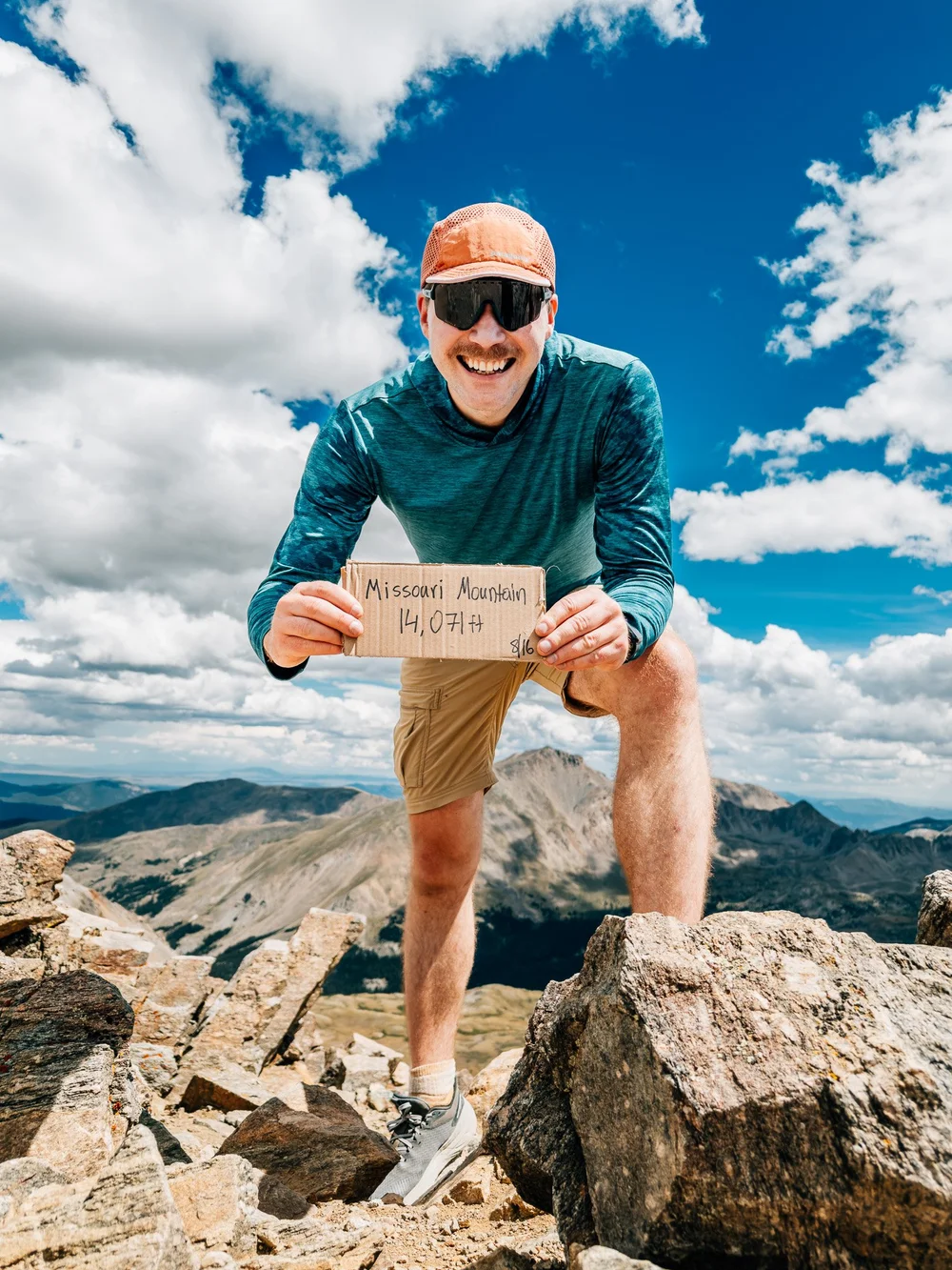
Summited at 2:08. There's a USGS benchmark set in the summit rock, and I held up my cardboard sign for the photo. I spent about 20 to 25 minutes up top, with one eye on the clouds.
Back at the Trailhead
The way down was uneventful, about two hours and fifteen minutes. I hurried to stay ahead of the rain and to make an art event in Silverthorne, and I missed it anyway. Oh well. Car to car was 6:17, and I never did see the lion.
Route Guide
What you'll find along the way
- High Point
- 14,071′
- 14,067′ on older USGS maps
- Trailhead
- 9,650′
- Missouri Gulch
- Class
- 2
- one Difficult Class 2 move
- Format
- Out & back
- 10.5 mi round trip
-
01Mi 0–1.2
Switchbacks in the Trees
Well-built, rock-walled switchbacks. The trail climbs fast but runs smooth.
-
02Mi 1.2–3.7
Missouri Gulch
Creek crossings, treeline at about 11,300′, the Belford junction at Mi 2.1 (stay right), then a long, flat, golden basin.
-
03Mi 4.2–4.6
The Scree Pitch
About 600 feet in under half a mile of big rock and loose scree up to the 13,700′ saddle. The hardest work of the day.
-
04Mi 4.6–5.3
The Northwest Ridge
An easy ridge walk with huge views, plus one short Difficult Class 2 spot most of the way along, where the trail drops about 25 feet on the right to get around the crest.
- Access
- Missouri Gulch TH. Rough 2WD. The road is fine, but it's pretty rough and dusty in dry weather.
- Crux
- The scree climb to the saddle is the workout. The one Difficult Class 2 move on the ridge is short.
- Weather
- Plan to be off the summit by noon. I was on the ridge from 1:30 to 2:30 and hurried down ahead of rain.
Recorded with Strava
Full route on Strava (opens in new tab)Gallery
Until the next ridge,
Anton

what are you planning?
Disclaimer
Everything you find here, whether it's a hiking guide or a trail story, is meant for inspiration, not instruction. I'm not a guide, and I'm not responsible for what happens if you decide to follow a wrong turn or take on more trail than you're ready for.
The outdoors can be unpredictable, so always use your own judgment, check official resources, and know your limits. By using this site, you agree it's all at your own risk. Take what inspires you, leave what doesn't, and go make it your own adventure.
Enjoyed the trip report? Pass it along to a hiking partner.